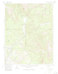
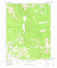
1957 Map of Wolf Creek Pass
USGS Topo · Published 1984About this map
The Continental Divide zigzags across the high mountain terrain of this mid-century survey, separating the headwaters of the Rio Grande National Forest from the vast drainage of the San Juan National Forest. The landscape is defined by the high-altitude transit of the Wolf Creek Pass, where the Navajo Trail and other early routes negotiate the steep slopes between Treasure Mountain and Sheep Mountain. A series of isolated homesteads and ranching outposts, including the West Fork Ranch, At Last Ranch, and Hott Ranch, are scattered along the river valleys, reflecting the region's historical reliance on seasonal grazing and timber.
Find a feature on this map
59 named features on this map. Tap any name to fly to it.
Don’t see what you’re looking for? This feature index may not catch every label — zoom into the map to look around manually.
Map Details
Editions of this 1957 Wolf Creek Pass Map
6 editions found

Other maps of this area

1905 · San Cristobal
USGS Topo · 1:125,000

1907 · San Cristobal
USGS Topo · 1:125,000

1913 · Summitville
USGS Topo · 1:125,000

1914 · Creede
USGS Topo · 1:125,000

1915 · Summitville
USGS Topo · 1:125,000

1916 · Creede
USGS Topo · 1:125,000

1924 · Pagosa Springs
USGS Topo · 1:125,000

1927 · Pagosa Springs
USGS Topo · 1:125,000

1945 · Durango
USGS Topo · 1:250,000

1953 · Durango
USGS Topo · 1:250,000