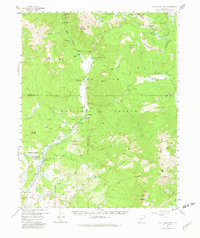
1957 Map of Wolf Creek Pass
USGS Topo · Published 1982About this map
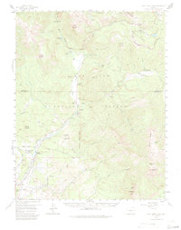
Wolf Creek Pass serves as the focal point of this 1957 survey, where the Continental Divide winds through the high San Juan Mountains. The map reveals a landscape defined by seasonal industry and livestock management, with numerous cattle and horse spreads including At Last Ranch and Three Quarter Circles Ranch along the lower river valleys. Remote infrastructure is well-documented, from the Wolf Creek Maintenance Camp near the pass to the Treasure Guard Station further south. The drainage patterns of the East Fork San Juan River and the Navajo River dominate the topography, interspersed with landmarks like Treasure Falls and the high waters of Quartz Lake. A network of pack trails and a stock drive provide insight into the movement of people and animals through these mountain forests in the mid-20th century.
Find a feature on this map
56 named features on this map. Tap any name to fly to it.
Don’t see what you’re looking for? This feature index may not catch every label — zoom into the map to look around manually.
Map Details
Editions of this 1957 Wolf Creek Pass Map
6 editions found

Other maps of this area

1905 · San Cristobal
USGS Topo · 1:125,000

1907 · San Cristobal
USGS Topo · 1:125,000

1913 · Summitville
USGS Topo · 1:125,000

1914 · Creede
USGS Topo · 1:125,000

1915 · Summitville
USGS Topo · 1:125,000

1916 · Creede
USGS Topo · 1:125,000

1924 · Pagosa Springs
USGS Topo · 1:125,000

1927 · Pagosa Springs
USGS Topo · 1:125,000

1945 · Durango
USGS Topo · 1:250,000

1953 · Durango
USGS Topo · 1:250,000