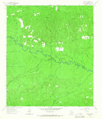
1963 Map of Wolf Hill
USGS Topo · Published 1966About this map
The Neches River snakes through the center of this terrain, marking the boundaries where Angelina, Polk, and Tyler counties meet. The landscape is defined by an intricate network of drainage, where Biloxi Creek, Johnson Creek, and Piney Creek feed into the river basin. Cultural history is preserved in a series of family-named burial grounds across the hills, including Page Cem, Havard Cem, and Futch Cem, often situated near small rural landmarks like Lambert Chapel. A prominent Wolf Hill Lookout Tower stands atop Wolf Hill, overseeing a region once heavily reliant on timber and rail transport. Evidence of this earlier industry remains visible through an Old Railroad Grade that cuts across the northern and southern portions of the sheet, tracing old routes of extraction through the East Texas woods.
Find a feature on this map
35 named features on this map. Tap any name to fly to it.
Don’t see what you’re looking for? This feature index may not catch every label — zoom into the map to look around manually.
Map Details
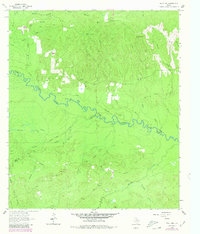
Editions of this 1963 Wolf Hill Map
2 editions found
Other maps of this area

1927 · Lufkin 4-c
USGS Topo · 1:24,000

1928 · Zavalla 3-c
USGS Topo · 1:24,000

1928 · Lufkin 4-d
USGS Topo · 1:24,000

1931 · Zavalla
USGS Topo · 1:62,500

1932 · Manning
USGS Topo · 1:62,500

1953 · Palestine
USGS Topo · 1:250,000

1954 · Beaumont
USGS Topo · 1:250,000

1955 · Woodville
USGS Topo · 1:62,500

1955 · Camden
USGS Topo · 1:62,500

1957 · Beaumont
USGS Topo · 1:250,000