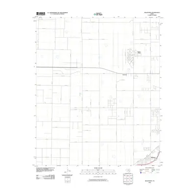
2010 Map of Wolfforth
USGS Topo · Published 2010About this map
Wolfforth anchors the southeastern corner of this West Texas landscape, where the town's expansion is visible near the intersection of Main St and State Spur 193. To the north, the geometric residential layout of Reese Village and the community of Hurlwood stand out against a grid of agricultural and livestock-themed roads. The survey reveals a unique naming convention for the local thoroughfares, featuring a series of animal-named routes such as Bear Rd, Deer Rd, Elephant, Pony, and Filly Rd. These roads, alongside Pheasant and Owl Rd, organize the flat High Plains terrain into precise sections. This network of rural roads and highways, including Ursuline St and Erskine St, illustrates the intersection of residential growth and the region's enduring ranching and farming heritage.
Find a feature on this map
50 named features on this map. Tap any name to fly to it.
Don’t see what you’re looking for? This feature index may not catch every label — zoom into the map to look around manually.
Map Details
Editions of this 2010 Wolfforth Map
This is the sole edition of this map. No revisions or reprints were ever made.
Other maps of this area

1954 · Lubbock
USGS Topo · 1:250,000

1954 · Brownfield
USGS Topo · 1:250,000

1956 · Shallowater
USGS Topo · 1:24,000

1957 · New Home
USGS Topo · 1:62,500

1957 · Lubbock West
USGS Topo · 1:24,000

1957 · Lubbock
USGS Topo · 1:62,500

1957 · Meadow
USGS Topo · 1:62,500

1957 · Wolfforth
USGS Topo · 1:62,500

1958 · Brownfield
USGS Topo · 1:250,000

1962 · Brownfield
USGS Topo · 1:250,000