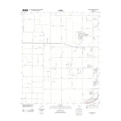
2012 Map of Wolfforth
USGS Topo · Published 2012About this map
Wolfforth anchors the southeast corner of this High Plains landscape, showing the town's expansion and residential street patterns as they stood in the early 2010s. The area is defined by its transition from large agricultural blocks to suburban development, particularly around Reese Village and the nearby Reese Airpark. A rigid grid of rural routes, including Alaska Rd and Mason Rd, organizes the terrain between the established community of Hurlwood and the newer subdivisions like Highway 114 Ests. The presence of Farm-To-Market Road 2130 and various numbered county roads illustrates the vital infrastructure connecting these West Texas settlements. This map provides a detailed view of the regional road network, from local drives like Hartland Ave to the strategic positioning of the former airbase facilities.
Find a feature on this map
125 named features on this map. Tap any name to fly to it.
Don’t see what you’re looking for? This feature index may not catch every label — zoom into the map to look around manually.
Map Details
Editions of this 2012 Wolfforth Map
This is the sole edition of this map. No revisions or reprints were ever made.
Other maps of this area

1954 · Lubbock
USGS Topo · 1:250,000

1954 · Brownfield
USGS Topo · 1:250,000

1956 · Shallowater
USGS Topo · 1:24,000

1957 · New Home
USGS Topo · 1:62,500

1957 · Lubbock West
USGS Topo · 1:24,000

1957 · Lubbock
USGS Topo · 1:62,500

1957 · Meadow
USGS Topo · 1:62,500

1957 · Wolfforth
USGS Topo · 1:62,500

1958 · Brownfield
USGS Topo · 1:250,000

1962 · Brownfield
USGS Topo · 1:250,000