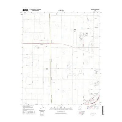
2016 Map of Wolfforth
USGS Topo · Published 2016About this map
The transition from the agricultural plains to the growing Lubbock suburbs is evident here, centered on the community of Wolfforth. At the southern edge of the map, the town's grid is established near the Wolfforth Cem, while the northern section is dominated by the sprawling grounds of Reese Center and Reese Village. Formerly a military installation, the Reese Airpark serves as a major landmark in this high plains landscape.
Find a feature on this map
103 named features on this map. Tap any name to fly to it.
Don’t see what you’re looking for? This feature index may not catch every label — zoom into the map to look around manually.
Map Details
Editions of this 2016 Wolfforth Map
This is the sole edition of this map. No revisions or reprints were ever made.
Other maps of this area

1954 · Lubbock
USGS Topo · 1:250,000

1954 · Brownfield
USGS Topo · 1:250,000

1956 · Shallowater
USGS Topo · 1:24,000

1957 · New Home
USGS Topo · 1:62,500

1957 · Lubbock West
USGS Topo · 1:24,000

1957 · Lubbock
USGS Topo · 1:62,500

1957 · Meadow
USGS Topo · 1:62,500

1957 · Wolfforth
USGS Topo · 1:62,500

1958 · Brownfield
USGS Topo · 1:250,000

1962 · Brownfield
USGS Topo · 1:250,000