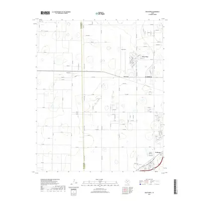
2019 Map of Wolfforth
USGS Topo · Published 2019About this map
Wolfforth sits at the heart of this High Plains landscape, showcasing the intersection of suburban growth and the agricultural grid of West Texas. The map illustrates a transition between the established community of Wolfforth and the aviation-centric corridor near Reese Village and Reese Airpark. This area, once dominated by cotton farming, is captured here during a period of steady residential expansion along the Lubbock County line.
Find a feature on this map
111 named features on this map. Tap any name to fly to it.
Don’t see what you’re looking for? This feature index may not catch every label — zoom into the map to look around manually.
Map Details
Editions of this 2019 Wolfforth Map
This is the sole edition of this map. No revisions or reprints were ever made.
Other maps of this area

1954 · Lubbock
USGS Topo · 1:250,000

1954 · Brownfield
USGS Topo · 1:250,000

1956 · Shallowater
USGS Topo · 1:24,000

1957 · New Home
USGS Topo · 1:62,500

1957 · Lubbock West
USGS Topo · 1:24,000

1957 · Lubbock
USGS Topo · 1:62,500

1957 · Meadow
USGS Topo · 1:62,500

1957 · Wolfforth
USGS Topo · 1:62,500

1958 · Brownfield
USGS Topo · 1:250,000

1962 · Brownfield
USGS Topo · 1:250,000