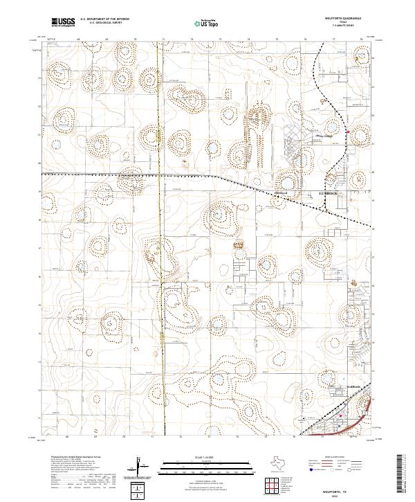
2022 Map of Wolfforth
USGS Topo · Published 2022About this map
Wolfforth and the western periphery of Lubbock anchor this West Texas landscape, where the flat plains are defined by a rigid grid of agricultural roads and growing residential developments. The map highlights the transition between the established town center and the outlying Hurlwood and Reese Village communities. A notable landmark is the Reese Airpark, a site reflecting the region's aviation and military history.
Find a feature on this map
113 named features on this map. Tap any name to fly to it.
Don’t see what you’re looking for? This feature index may not catch every label — zoom into the map to look around manually.
Map Details
Editions of this 2022 Wolfforth Map
This is the sole edition of this map. No revisions or reprints were ever made.
Other maps of this area

1954 · Lubbock
USGS Topo · 1:250,000

1954 · Brownfield
USGS Topo · 1:250,000

1956 · Shallowater
USGS Topo · 1:24,000

1957 · New Home
USGS Topo · 1:62,500

1957 · Lubbock West
USGS Topo · 1:24,000

1957 · Lubbock
USGS Topo · 1:62,500

1957 · Meadow
USGS Topo · 1:62,500

1957 · Wolfforth
USGS Topo · 1:62,500

1958 · Brownfield
USGS Topo · 1:250,000

1962 · Brownfield
USGS Topo · 1:250,000