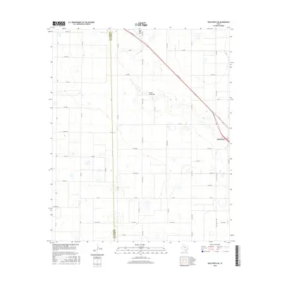
2016 Map of Wolfforth NE
USGS Topo · Published 2016About this map
The agricultural landscape of the Texas High Plains is defined here by a rigid grid of rural roads and the winding depression of Yellow House Draw. In the eastern portion of the survey, the city of Shallowater serves as a regional hub, intersected by the diagonal path of Clovis Rd. The terrain is marked by numerous small depressions and playas, characteristic of the Llano Estacado, while the western edge of the map tracks the straight north-south boundary between Hockley Co and Lubbock Co.
Find a feature on this map
47 named features on this map. Tap any name to fly to it.
Don’t see what you’re looking for? This feature index may not catch every label — zoom into the map to look around manually.
Map Details
Editions of this 2016 Wolfforth NE Map
This is the sole edition of this map. No revisions or reprints were ever made.
Other maps of this area

1954 · Lubbock
USGS Topo · 1:250,000

1954 · Brownfield
USGS Topo · 1:250,000

1956 · Shallowater
USGS Topo · 1:24,000

1957 · Lubbock West
USGS Topo · 1:24,000

1957 · Lubbock
USGS Topo · 1:62,500

1957 · Anton
USGS Topo · 1:62,500

1957 · Abernathy
USGS Topo · 1:62,500

1957 · Wolfforth
USGS Topo · 1:62,500

1958 · Brownfield
USGS Topo · 1:250,000

1962 · Brownfield
USGS Topo · 1:250,000