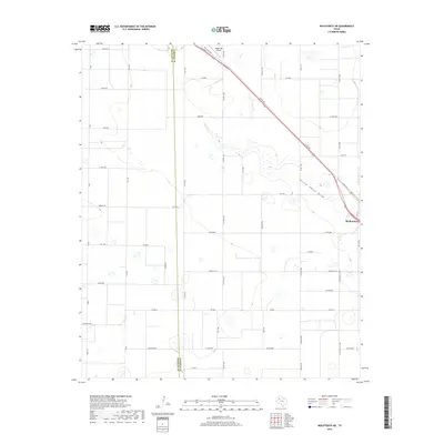
2019 Map of Wolfforth NE
USGS Topo · Published 2019About this map
Shallowater serves as the primary hub of activity on this Llano Estacado landscape, situated at the junction of Clovis Rd and FM 179. The terrain is defined by the subtle, winding course of Yellow House Draw, which cuts a drainage path through the surrounding agricultural grid. This network of rural routes, including Dean Rd and Colorado Rd, illustrates the methodical division of land between the Hockley and Lubbock county lines. Aviation history in the region is represented by Biggin Hill Airport, located near the northern edge of the survey area. Small residential clusters or landmarks such as Emerson and Stone Hill St provide localized reference points for researchers studying the mid-20th-century development of these Texas High Plains communities.
Find a feature on this map
45 named features on this map. Tap any name to fly to it.
Don’t see what you’re looking for? This feature index may not catch every label — zoom into the map to look around manually.
Map Details
Editions of this 2019 Wolfforth NE Map
This is the sole edition of this map. No revisions or reprints were ever made.
Other maps of this area

1954 · Lubbock
USGS Topo · 1:250,000

1954 · Brownfield
USGS Topo · 1:250,000

1956 · Shallowater
USGS Topo · 1:24,000

1957 · Lubbock West
USGS Topo · 1:24,000

1957 · Lubbock
USGS Topo · 1:62,500

1957 · Anton
USGS Topo · 1:62,500

1957 · Abernathy
USGS Topo · 1:62,500

1957 · Wolfforth
USGS Topo · 1:62,500

1958 · Brownfield
USGS Topo · 1:250,000

1962 · Brownfield
USGS Topo · 1:250,000