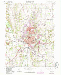
1961 Map of Wooster
USGS Topo · Published 1985About this map
Wooster serves as the focal point of this Wayne County landscape, showing significant institutional and residential growth in the early 1960s. The map highlights the extensive grounds of the Ohio Agricultural Research and Development Center south of the city, along with local infrastructure such as the waterworks and various brickkilns. Settlement patterns extend to outlying areas like Madisonburg and the curiously named Devil Town, while transportation is defined by the Baltimore and Ohio and Conrail lines. Genealogists will find a wealth of burial records across sites like Wooster Cemetery, Highland Park Cem, and the County Infirmary Cem. The purple-tinted revisions added later reflect the expanding footprint of the city boundary as it encroached on the surrounding townships of Wayne and Franklin.
Find a feature on this map
73 named features on this map. Tap any name to fly to it.
Don’t see what you’re looking for? This feature index may not catch every label — zoom into the map to look around manually.
Map Details
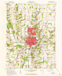
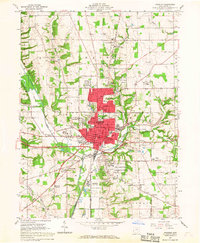
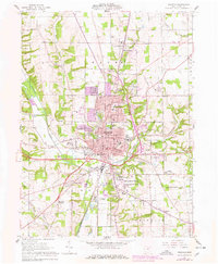
Editions of this 1961 Wooster Map
4 editions found
Other maps of this area

1901 · Wooster
USGS Topo · 1:62,500

1903 · Wooster
USGS Topo · 1:62,500

1906 · West Salem
USGS Topo · 1:62,500

1908 · West Salem
USGS Topo · 1:62,500

1912 · Loudonville
USGS Topo · 1:62,500

1914 · Loudonville
USGS Topo · 1:62,500

1915 · Millersburg
USGS Topo · 1:62,500

1943 · Millersburg
USGS Topo · 1:62,500

1943 · Loudonville
USGS Topo · 1:62,500

1950 · Marion
USGS Topo · 1:250,000