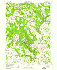
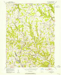
1958 Map of Worthington
USGS Topo · Published 1959About this map
The Baltimore and Ohio railroad corridor winds through the heavy industry and rural valleys of the Butler and Armstrong county line during the late 1950s. This survey illustrates a landscape defined by resource extraction, featuring numerous strip mines, a mine tipple, and brick kilns near Craigsville. The local economy is further evidenced by operations like Buffalo Mills and Dennys Mills, which sit alongside the winding path of Buffalo Creek. A section of the Benjamin Franklin Highway is shown as under construction near the county border, signaling the modernization of regional transport. For genealogists and local historians, the map preserves the locations of vital community centers such as McKee Chapel, St Johns Ch, and the Township Sch in Coyleville. Small rural clusters like Fenelton, Nichola, and Slate Lick appear in their mid-century form before significant suburban development altered the character of the Pennsylvania countryside.
Find a feature on this map
47 named features on this map. Tap any name to fly to it.
Don’t see what you’re looking for? This feature index may not catch every label — zoom into the map to look around manually.
Map Details
Editions of this 1958 Worthington Map
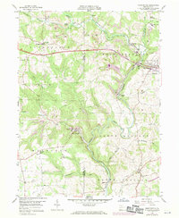
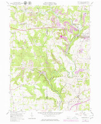
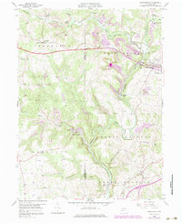
4 editions found
Other maps of this area

1900 · Kittanning
USGS Topo · 1:62,500

1902 · Kittanning
USGS Topo · 1:62,500

1907 · Freeport
USGS Topo · 1:62,500

1908 · New Kensington
USGS Topo · 1:62,500

1909 · Freeport
USGS Topo · 1:62,500

1909 · Butler
USGS Topo · 1:62,500

1910 · New Kensington
USGS Topo · 1:62,500

1911 · Butler
USGS Topo · 1:62,500

1953 · Pittsburgh
USGS Topo · 1:250,000
1953 · Curtisville
USGS Topo · 1:24,000