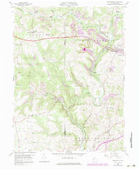
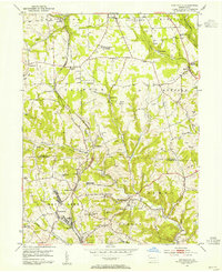
1958 Map of Worthington
USGS Topo · Published 1979About this map
Buffalo Creek winds through this section of Armstrong and Butler Counties, where the mid-century landscape is defined by the intersection of industrial extraction and small-town settlement. The map reveals a high concentration of coal and stone production, with numerous Strip Mines, a Mine Tipple, and a Quarry dotting the hillsides near Buffalo Mills. Transport networks like the Baltimore and Ohio and the Winfield railroads facilitated the movement of resources, while established community centers like Worthington and West Winfield served as local anchors. For those looking for vanished social markers, the presence of the Township Sch near Coyleville and rural landmarks such as McKee Chapel offer evidence of the area's once-thriving rural school and church districts. The topographic detail highlights the deep valleys of Rough Run and Cornplanter Run, showing how industry adapted to the winding drainages of the Allegheny Plateau.
Find a feature on this map
40 named features on this map. Tap any name to fly to it.
Don’t see what you’re looking for? This feature index may not catch every label — zoom into the map to look around manually.
Map Details
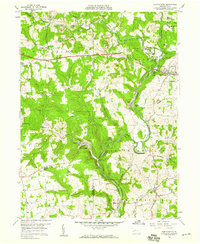
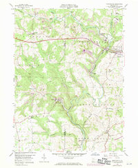
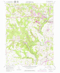
Editions of this 1958 Worthington Map
4 editions found
Other maps of this area

1900 · Kittanning
USGS Topo · 1:62,500

1902 · Kittanning
USGS Topo · 1:62,500

1907 · Freeport
USGS Topo · 1:62,500

1908 · New Kensington
USGS Topo · 1:62,500

1909 · Freeport
USGS Topo · 1:62,500

1909 · Butler
USGS Topo · 1:62,500

1910 · New Kensington
USGS Topo · 1:62,500

1911 · Butler
USGS Topo · 1:62,500

1953 · Pittsburgh
USGS Topo · 1:250,000
1953 · Curtisville
USGS Topo · 1:24,000