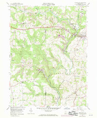
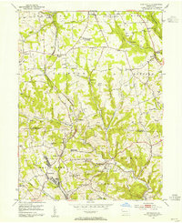
1958 Map of Worthington
USGS Topo · Published 1970About this map
Worthington and the surrounding townships of West Franklin and Winfield are defined by the convergence of rail, industry, and agriculture during the mid-20th century. The Baltimore and Ohio railroad snakes through the landscape, serving local industry like the Brick Kilns near Laird Crossing and various Strip Mines that dot the hillsides. The Benjamin Franklin Highway cuts an east-west path through the center of the sheet, connecting smaller settlements like Coyleville and Craigsville. Local genealogy is well-supported by the presence of numerous country churches and schools, such as McKee Chapel, St Johns Ch, and the Township Sch. To the south, Buffalo Creek winds through the townships, passing through the hamlets of Buffalo Mills and Slate Lick.
Find a feature on this map
44 named features on this map. Tap any name to fly to it.
Don’t see what you’re looking for? This feature index may not catch every label — zoom into the map to look around manually.
Map Details
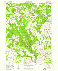
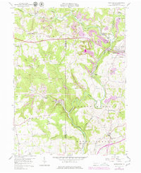
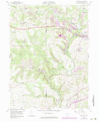
Editions of this 1958 Worthington Map
4 editions found
Other maps of this area

1900 · Kittanning
USGS Topo · 1:62,500

1902 · Kittanning
USGS Topo · 1:62,500

1907 · Freeport
USGS Topo · 1:62,500

1908 · New Kensington
USGS Topo · 1:62,500

1909 · Freeport
USGS Topo · 1:62,500

1909 · Butler
USGS Topo · 1:62,500

1910 · New Kensington
USGS Topo · 1:62,500

1911 · Butler
USGS Topo · 1:62,500

1953 · Pittsburgh
USGS Topo · 1:250,000
1953 · Curtisville
USGS Topo · 1:24,000