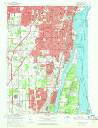
1967 Map of Wyandotte
USGS Topo · Published 1969About this map
The Detroit River serves as the dominant corridor of commerce and geography along this Michigan-Ontario borderland. Dense mid-century residential and industrial growth stretches through Wyandotte, Southgate, and Riverview, while the sprawling Sibley Quarry and an Oil Refinery near Woodhaven highlight the region's heavy industrial foundations. The landscape is deeply tied to its water and rail infrastructure, featuring the Detroit Toledo and Ironton RR and the Penn Central lines that service the shoreline. Local genealogy and community history are anchored by numerous parochial institutions like St Francis Cabrini Ch and St Pius Sch, alongside several established burial grounds including Ferndale Cemetery and the Masonic Cem. To the east, the map details the distinct character of Grosse Ile and the smaller Mamajuda Island within the river’s reach.
Find a feature on this map
90 named features on this map. Tap any name to fly to it.
Don’t see what you’re looking for? This feature index may not catch every label — zoom into the map to look around manually.
Map Details
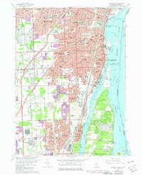
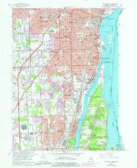
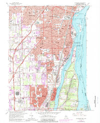
Editions of this 1967 Wyandotte Map
4 editions found
Other maps of this area

1905 · Wayne
USGS Topo · 1:62,500

1905 · Detroit
USGS Topo · 1:62,500

1906 · Wyandotte
USGS Topo · 1:62,500

1906 · Romulus
USGS Topo · 1:62,500

1912 · Wyandotte
USGS Topo · 1:62,500

1912 · Wayne
USGS Topo · 1:62,500

1918 · Detroit
USGS Topo · 1:62,500

1924 · Detroit
USGS Topo · 1:62,500

1928 · Romulus
USGS Topo · 1:62,500

1929 · Wyandotte
USGS Topo · 1:62,500