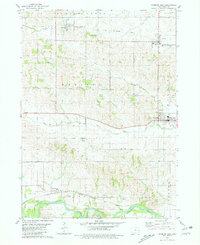
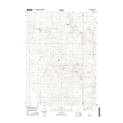
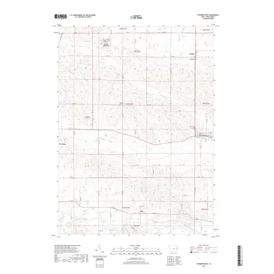
1980 Map of Wyoming East
USGS Topo · Published 1981About this map
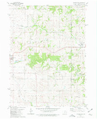
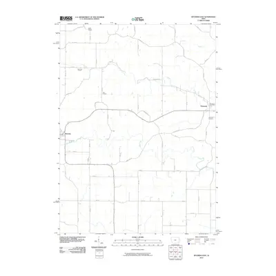
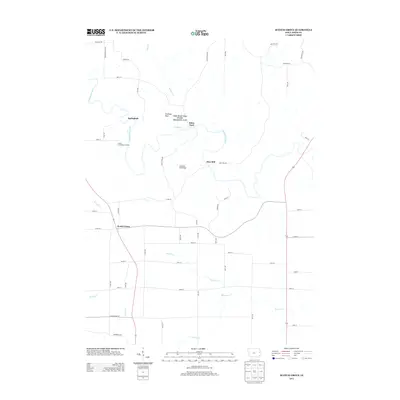
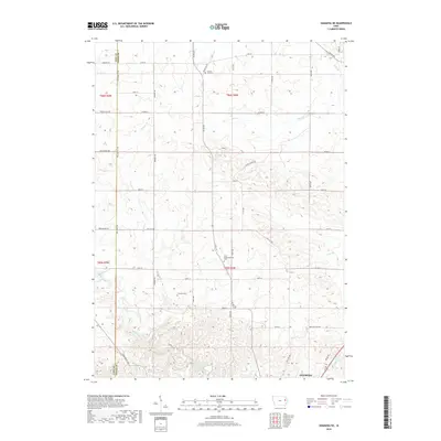
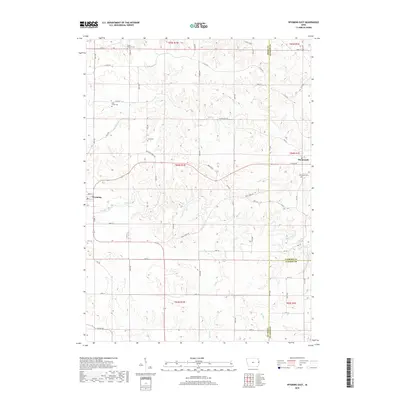
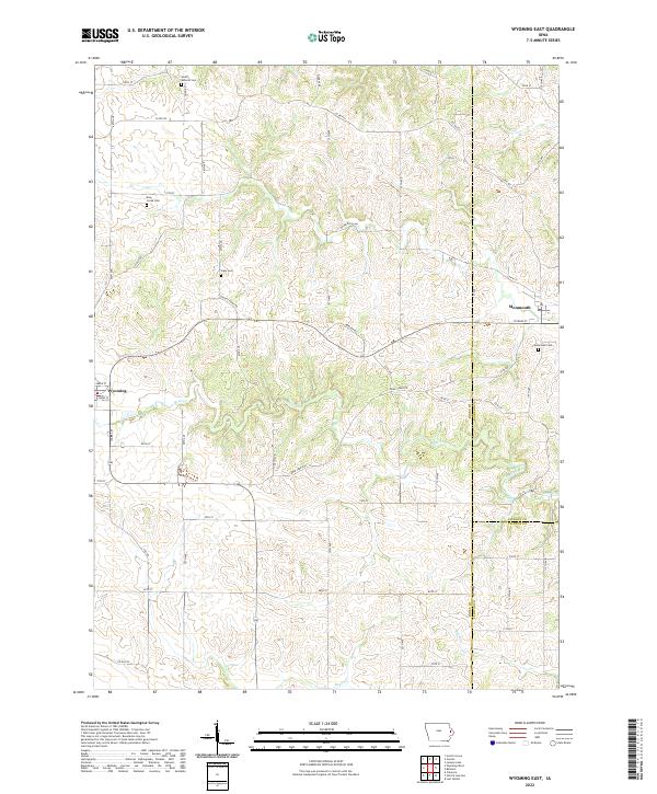
The town of Wyoming sits at a crossroads in Jones County, flanked by the Fairground and Sewage Disposal Ponds along its western edge. This survey from the late 1970s illustrates a landscape defined by the winding paths of Bear Creek and Beers Creek, which cut through the townships of Clay, Brandon, and Oxford. A significant cultural footprint is visible through the numerous family and community burial grounds, including South Mineral Cem, Bear Creek Cem, and Cady Cem, providing essential touchstones for genealogical research in this part of Iowa.
Find a feature on this map
23 named features on this map. Tap any name to fly to it.
Don’t see what you’re looking for? This feature index may not catch every label — zoom into the map to look around manually.
Map Details
Editions of this 1980 Wyoming East Map
This is the sole edition of this map. No revisions or reprints were ever made.
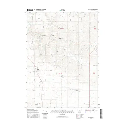
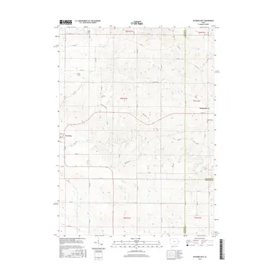
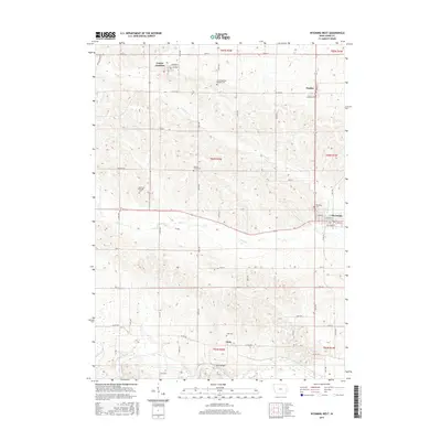
Historical Maps of Wyoming Through Time
30 maps found
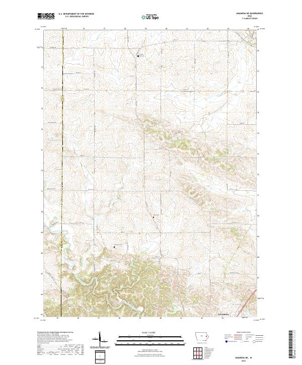
1973 Anamosa NE
Jones County, IA
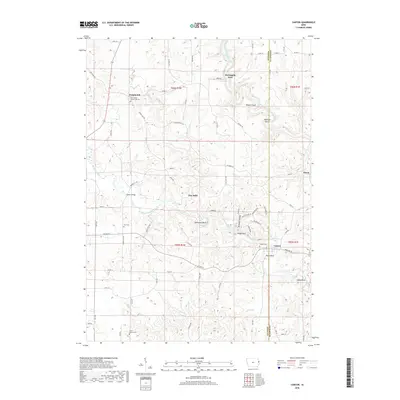
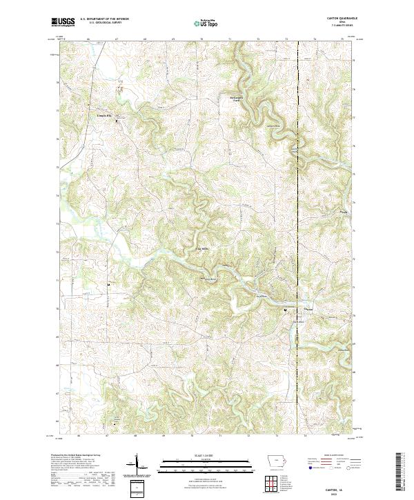
1980 Canton
Jones County, IA
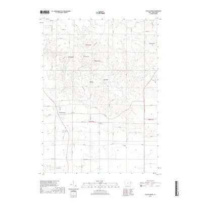
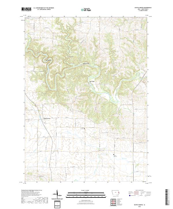
1980 Scotch Grove
Jones County, IA
1980 Wyoming East
Jones County, IA
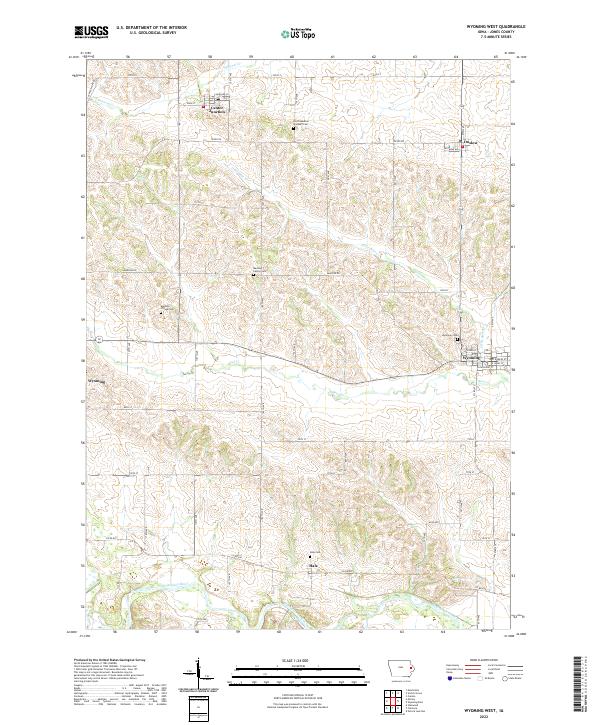
1980 Wyoming West
Jones County, IA
2010 Anamosa NE
Jones County, IA
2010 Canton
Jones County, IA
2010 Scotch Grove
Jones County, IA
2010 Wyoming East
Jones County, IA
2010 Wyoming West
Jones County, IA
2013 Anamosa NE
Jones County, IA
2013 Canton
Jones County, IA
2013 Scotch Grove
Jones County, IA
2013 Wyoming East
Jones County, IA
2013 Wyoming West
Jones County, IA
2015 Anamosa NE
Jones County, IA
2015 Canton
Jones County, IA
2015 Scotch Grove
Jones County, IA
2015 Wyoming East
Jones County, IA
2015 Wyoming West
Jones County, IA
2018 Anamosa NE
Jones County, IA
2018 Canton
Jones County, IA
2018 Scotch Grove
Jones County, IA
2018 Wyoming East
Jones County, IA
2018 Wyoming West
Jones County, IA
2022 Anamosa NE
Jones County, IA
2022 Canton
Jones County, IA
2022 Scotch Grove
Jones County, IA
2022 Wyoming East
Jones County, IA
2022 Wyoming West
Jones County, IA