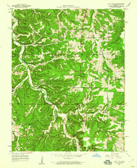
1950 Map of Yancy Mills
USGS Topo · Published 1960About this map
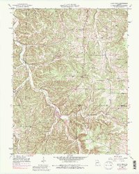
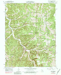
Little Piney Creek meanders through the heart of the Cold Spring and Watkins districts, creating a deeply dissected landscape where settlements and institutions are closely tied to the winding valley. In the mid-century, Yancy Mills serves as a local focal point with its own Yancy Mills PO and Yancy Sch, situated near the cold waters of Lane Spring. The map reveals a high density of rural social infrastructure, from the Grayson Sch and Green Bush Sch in the north to the Philadelphia Ch in the south.
Find a feature on this map
38 named features on this map. Tap any name to fly to it.
Don’t see what you’re looking for? This feature index may not catch every label — zoom into the map to look around manually.
Map Details
Editions of this 1950 Yancy Mills Map
6 editions found
Other maps of this area

1912 · Rolla
USGS Topo · 1:62,500

1928 · Meramec Spring
USGS Topo · 1:62,500

1937 · Edgar Springs
USGS Topo · 1:48,000

1941 · Salem
USGS Topo · 1:62,500

1945 · Salem
USGS Topo · 1:62,500

1945 · Edgar Springs
USGS Topo · 1:62,500

1949 · Rolla
USGS Topo · 1:250,000

1949 · Meramec Spring
USGS Topo · 1:62,500

1950 · Newburg
USGS Topo · 1:24,000
1950 · Kaintuck Hollow
USGS Topo · 1:24,000