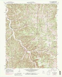
1950 Map of Yancy Mills
USGS Topo · Published 1984About this map
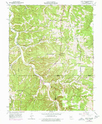
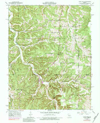
Yancy Mills and the small settlement of Vida anchor this mid-century look at the Ozark highlands of Phelps Co and Dent Co. The landscape is defined by the winding course of Little Piney Creek, which carved a complex network of hollows and ridges such as Coalpit Hollow and Kitchen Hollow. Rural life is etched into the topography through a concentration of community landmarks, including Mt Zion Ch and Philadelphia Ch, alongside family-named burial grounds like Huskey Cem and Brookshire Cem.
Find a feature on this map
36 named features on this map. Tap any name to fly to it.
Don’t see what you’re looking for? This feature index may not catch every label — zoom into the map to look around manually.
Map Details
Editions of this 1950 Yancy Mills Map
6 editions found
Other maps of this area

1912 · Rolla
USGS Topo · 1:62,500

1928 · Meramec Spring
USGS Topo · 1:62,500

1937 · Edgar Springs
USGS Topo · 1:48,000

1941 · Salem
USGS Topo · 1:62,500

1945 · Salem
USGS Topo · 1:62,500

1945 · Edgar Springs
USGS Topo · 1:62,500

1949 · Rolla
USGS Topo · 1:250,000

1949 · Meramec Spring
USGS Topo · 1:62,500

1950 · Newburg
USGS Topo · 1:24,000
1950 · Kaintuck Hollow
USGS Topo · 1:24,000