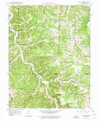
1950 Map of Yancy Mills
USGS Topo · Published 1975About this map
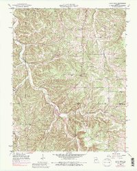
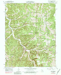
The Little Piney Creek valley serves as the central artery of this landscape, where the settlement of Yancy Mills and its Yancy Mills PO anchor a rural community transitioning into the mid-century era. The terrain is deeply dissected by numerous branches and hollows, such as Kitchens Hollow and Treadway Creek, reflecting a land shaped by its complex hydrology. The local economy and social fabric are marked by the Miracle Mine (Inactive) and a dense network of country schools including Ben Fore Sch and Yancy Sch. Genealogical interest is particularly high here, with several family-named burial grounds like Corn Creek Cem and Brookshire Cem situated near local congregations like Philadelphia Ch. The map also captures the Phelps and Dent County line, crossing through the timbered uplands of the Pine Ridge area.
Find a feature on this map
41 named features on this map. Tap any name to fly to it.
Don’t see what you’re looking for? This feature index may not catch every label — zoom into the map to look around manually.
Map Details
Editions of this 1950 Yancy Mills Map
6 editions found
Other maps of this area

1912 · Rolla
USGS Topo · 1:62,500

1928 · Meramec Spring
USGS Topo · 1:62,500

1937 · Edgar Springs
USGS Topo · 1:48,000

1941 · Salem
USGS Topo · 1:62,500

1945 · Salem
USGS Topo · 1:62,500

1945 · Edgar Springs
USGS Topo · 1:62,500

1949 · Rolla
USGS Topo · 1:250,000

1949 · Meramec Spring
USGS Topo · 1:62,500

1950 · Newburg
USGS Topo · 1:24,000
1950 · Kaintuck Hollow
USGS Topo · 1:24,000