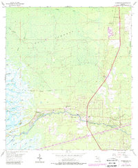
1955 Map of Yankeetown
USGS Topo · Published 1988About this map
The Withlacoochee River serves as the focal point for this coastal Florida landscape, where the settlements of Yankeetown, Crackertown, and Inglis are concentrated along its banks. The map documents the intricate hydrology of the area, featuring numerous small waterways such as Turtle Creek, Smith Creek, and Thousandmile Creek that drain into the dense wetlands of Gulf Hammock. A notable human-engineered feature is the Cross Florida Barge Canal, which cuts across the southern portion of the sheet near the boundary between Levy and Citrus Counties.
Find a feature on this map
41 named features on this map. Tap any name to fly to it.
Don’t see what you’re looking for? This feature index may not catch every label — zoom into the map to look around manually.
Map Details
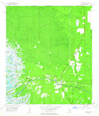
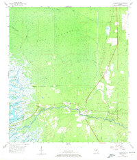
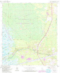
Editions of this 1955 Yankeetown Map
5 editions found
Other maps of this area

1954 · Crystal River
USGS Topo · 1:24,000

1954 · Red Level
USGS Topo · 1:24,000

1954 · Yankeetown SE
USGS Topo · 1:24,000

1954 · Gainesville
USGS Topo · 1:250,000

1955 · Lebanon Station
USGS Topo · 1:24,000

1955 · Withlacoochee Bay
USGS Topo · 1:24,000

1955 · Waccasassa Bay
USGS Topo · 1:24,000

1955 · Yankeetown
USGS Topo · 1:24,000

1955 · Tidewater
USGS Topo · 1:24,000

1955 · Plant City
USGS Topo · 1:250,000