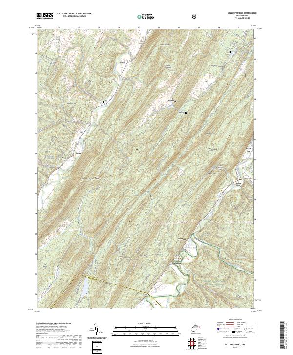
2023 Map of Yellow Spring
USGS Topo · Published 2023About this map
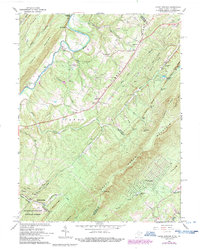
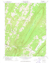
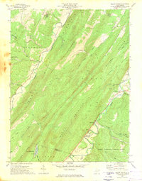
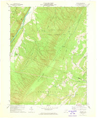
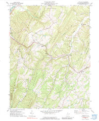
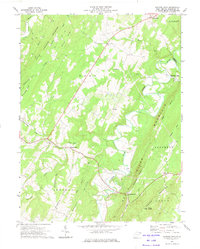
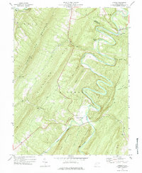
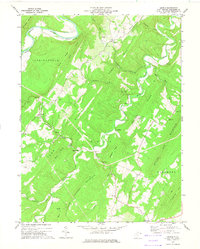
Cacapon River and North River define the topography of this corner of the Allegheny Mountains, where traditional mountain gaps and hollows dictate the layout of small West Virginia settlements. Small communities like Yellow Spring, Intermont, and Delray are positioned near river crossings and gaps such as Yellow Spring Gap, while the higher elevations are dominated by North River Mtn and Dillons Mtn. The landscape is characterized by its numerous water sources, including Paul Keister Spring and Capon Lake Spring, which have long anchored local land use.
Find a feature on this map
93 named features on this map. Tap any name to fly to it.
Don’t see what you’re looking for? This feature index may not catch every label — zoom into the map to look around manually.
Map Details
Editions of this 2023 Yellow Spring Map
This is the sole edition of this map. No revisions or reprints were ever made.
Historical Maps of Intermont Through Time
19 maps found
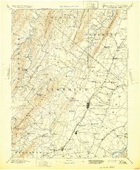
1894 Winchester
Hampshire County, WV
1921 Hanging Rock
Hampshire County, WV
1923 Hanging Rock
Hampshire County, WV
1965 Capon Springs
Hampshire County, WV
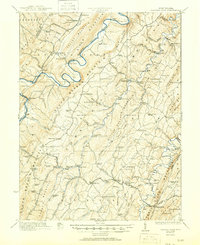
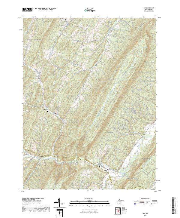
1970 Rio
Hampshire County, WV
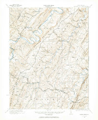
1970 Yellow Spring
Hampshire County, WV
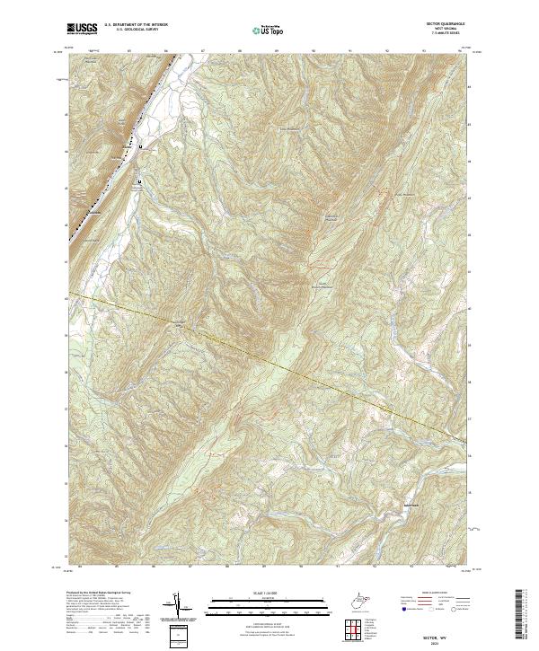
1971 Sector
Hampshire County, WV
1973 Augusta
Hampshire County, WV
1973 Hanging Rock
Hampshire County, WV
1973 Largent
Hampshire County, WV
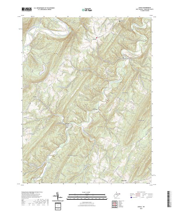
1973 Levels
Hampshire County, WV
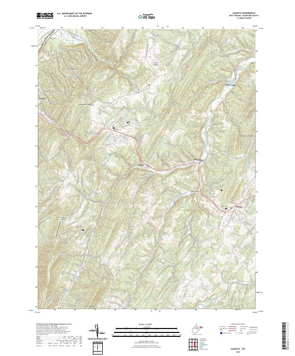
2023 Augusta
Hampshire County, WV
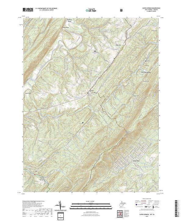
2023 Capon Springs
Hampshire County, WV
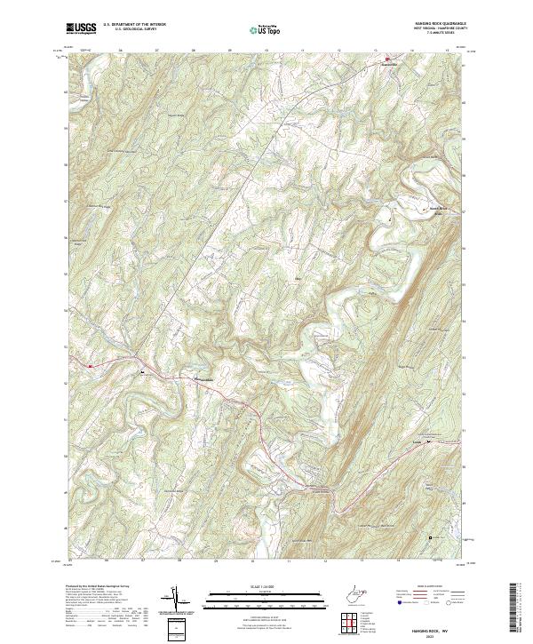
2023 Hanging Rock
Hampshire County, WV
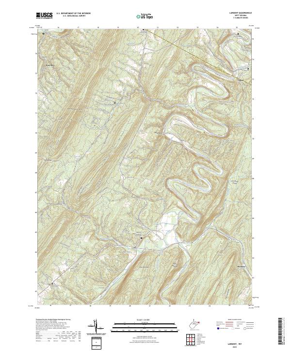
2023 Largent
Hampshire County, WV
2023 Levels
Hampshire County, WV
2023 Rio
Hampshire County, WV
2023 Sector
Hampshire County, WV
2023 Yellow Spring
Hampshire County, WV