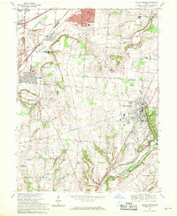
1968 Map of Yellow Springs
USGS Topo · Published 1970About this map
Antioch College anchors the village of Yellow Springs, a notable academic and cultural center in the heart of Ohio's rolling landscape during the late 1960s. The map illustrates a region in transition, where the expanding suburbs of Fairborn meet established agricultural land and significant institutions. Military influence is evident through the U S Military Reservation and proximity to a radio tower, while the presence of the Greene Joint Vocational Sch and multiple local schools like Indian Valley Sch and Hustead Sch reflects the era's focus on local educational infrastructure.
Find a feature on this map
43 named features on this map. Tap any name to fly to it.
Don’t see what you’re looking for? This feature index may not catch every label — zoom into the map to look around manually.
Map Details
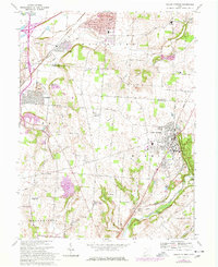
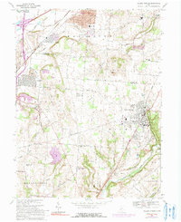
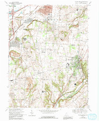
Editions of this 1968 Yellow Springs Map
4 editions found
Other maps of this area

1904 · Springfield
USGS Topo · 1:62,500

1904 · Dayton
USGS Topo · 1:62,500

1906 · Dayton
USGS Topo · 1:62,500

1906 · Springfield
USGS Topo · 1:62,500

1913 · Waynesville
USGS Topo · 1:62,500

1915 · Waynesville
USGS Topo · 1:62,500

1917 · Xenia
USGS Topo · 1:62,500

1947 · Columbus
USGS Topo · 1:250,000

1953 · Cincinnati
USGS Topo · 1:250,000

1954 · Clifton
USGS Topo · 1:24,000