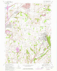
1968 Map of Yellow Springs
USGS Topo · Published 1977About this map
Antioch College serves as a cultural anchor in Yellow Springs, a village defined by its academic presence and its position above the Little Miami River. This late 1960s survey, with later photorevisions, highlights the intersection of education and natural terrain, where the Jacoby Branch and Yellow Springs Creek carve through the landscape. To the north, the Mad River corridor supports infrastructure like the Sewage Disposal plant and the Conrail rail lines, while the U S Military Reservation occupies significant acreage to the west. Rural life is anchored by family-centric landmarks such as Hustead Sch, the Byron Ch, and the Pleasant Grove Cem. The map captures a moment of transition for Fairborn and Enon as suburban development, indicated by purple revision marks, began to fill the spaces between traditional agricultural plots and established institutions like the Greene Joint Vocational Sch.
Find a feature on this map
48 named features on this map. Tap any name to fly to it.
Don’t see what you’re looking for? This feature index may not catch every label — zoom into the map to look around manually.
Map Details
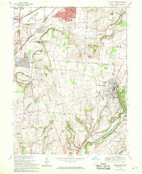
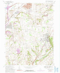
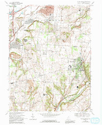
Editions of this 1968 Yellow Springs Map
4 editions found
Other maps of this area

1904 · Springfield
USGS Topo · 1:62,500

1904 · Dayton
USGS Topo · 1:62,500

1906 · Dayton
USGS Topo · 1:62,500

1906 · Springfield
USGS Topo · 1:62,500

1913 · Waynesville
USGS Topo · 1:62,500

1915 · Waynesville
USGS Topo · 1:62,500

1917 · Xenia
USGS Topo · 1:62,500

1947 · Columbus
USGS Topo · 1:250,000

1953 · Cincinnati
USGS Topo · 1:250,000

1954 · Clifton
USGS Topo · 1:24,000