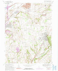
1968 Map of Yellow Springs
USGS Topo · Published 1991About this map
Antioch College serves as a cultural and geographic anchor for Yellow Springs, which is characterized by its integration with the surrounding natural landscape. The presence of the Little Miami River and the high banks at Rocky Point suggests a terrain that historically influenced settlement patterns and industrial placement. Educational institutions are densely represented across this area of Greene and Clark Counties, from the Greene Joint Vocational Sch near Goes to local schools like Indian Valley Sch and Hustead Sch. This concentration reflects a regional emphasis on public education and vocational training during the late twentieth century. Transportation networks, including the Conrail rail line and numerous local routes like Yellow Springs Road, connect the established towns of Fairborn and Enon, while smaller rural nodes such as Byron maintain their distinct identities amidst a landscape of winding creeks like Jacoby Creek and Hebble Creek.
Find a feature on this map
61 named features on this map. Tap any name to fly to it.
Don’t see what you’re looking for? This feature index may not catch every label — zoom into the map to look around manually.
Map Details
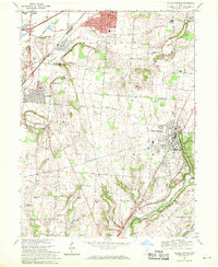
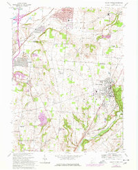
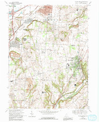
Editions of this 1968 Yellow Springs Map
4 editions found
Other maps of this area

1904 · Springfield
USGS Topo · 1:62,500

1904 · Dayton
USGS Topo · 1:62,500

1906 · Dayton
USGS Topo · 1:62,500

1906 · Springfield
USGS Topo · 1:62,500

1913 · Waynesville
USGS Topo · 1:62,500

1915 · Waynesville
USGS Topo · 1:62,500

1917 · Xenia
USGS Topo · 1:62,500

1947 · Columbus
USGS Topo · 1:250,000

1953 · Cincinnati
USGS Topo · 1:250,000

1954 · Clifton
USGS Topo · 1:24,000