2024 Map of Yocona
USGS Topo · Published 2024About this map
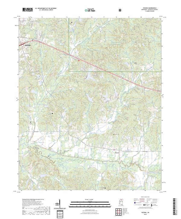
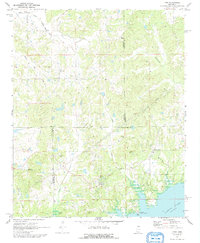
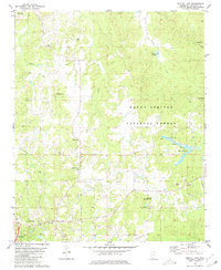
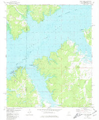
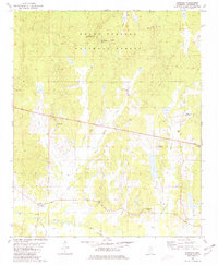
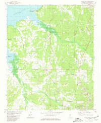
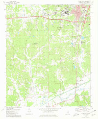
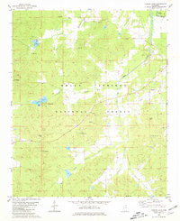
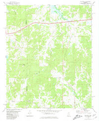
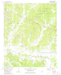
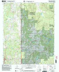
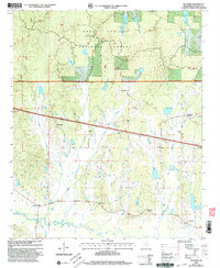
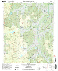
Oxford anchors the northwestern corner of this Lafayette County landscape, where the urban grid gives way to the wooded drainages of the Holly Springs National Forest. The map captures a transition from residential developments along University Ave to a rural interior defined by the winding course of the Yocona River and its many tributaries, including Pumpkin Creek and Yellow Leaf Creek. This area is marked by a network of local roads and several small settlements like Altus and Yocona.
Find a feature on this map
87 named features on this map. Tap any name to fly to it.
Don’t see what you’re looking for? This feature index may not catch every label — zoom into the map to look around manually.
Map Details
Editions of this 2024 Yocona Map
This is the sole edition of this map. No revisions or reprints were ever made.
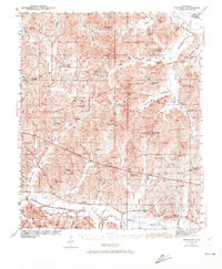
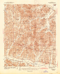
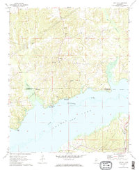
Historical Maps of Yocona Through Time
26 maps found
1942 Denmark
Lafayette County, MS
1943 Denmark
Lafayette County, MS
1971 Laws Hill
Lafayette County, MS
1971 Tyro
Lafayette County, MS
1980 Bagley Lake
Lafayette County, MS
1980 Coles Point
Lafayette County, MS
1980 Denmark
Lafayette County, MS
1980 Oxford North
Lafayette County, MS
1980 Oxford South
Lafayette County, MS
1980 Puskus Lake
Lafayette County, MS
1980 Splinter
Lafayette County, MS
1980 Yocona
Lafayette County, MS
2000 Bagley Lake
Lafayette County, MS
2000 Denmark
Lafayette County, MS
2000 Puskus Lake
Lafayette County, MS
2000 Yocona
Lafayette County, MS
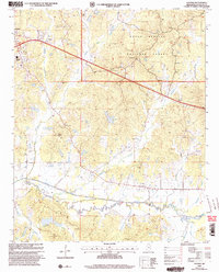
2024 Bagley Lake
Lafayette County, MS
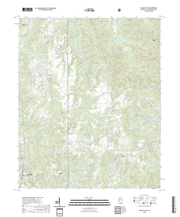
2024 Coles Point
Lafayette County, MS
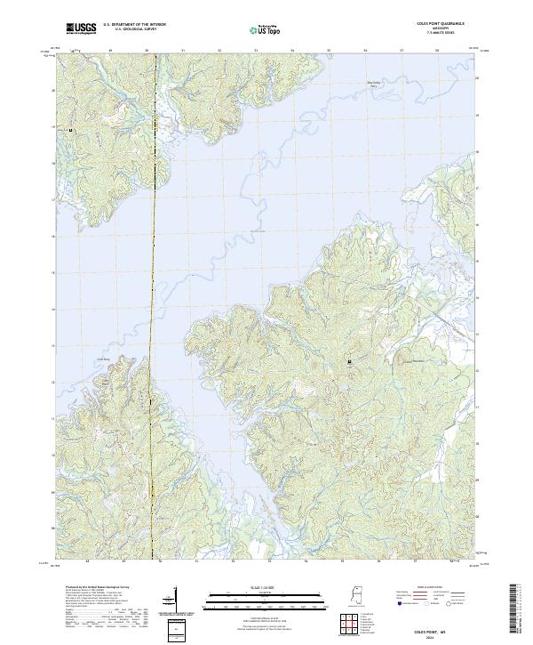
2024 Denmark
Lafayette County, MS
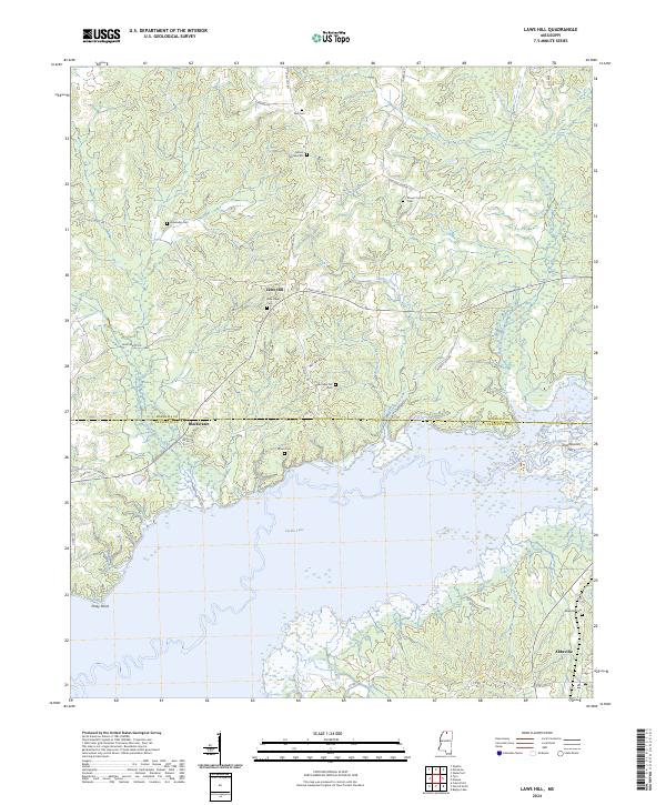
2024 Laws Hill
Lafayette County, MS
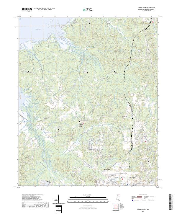
2024 Oxford North
Lafayette County, MS
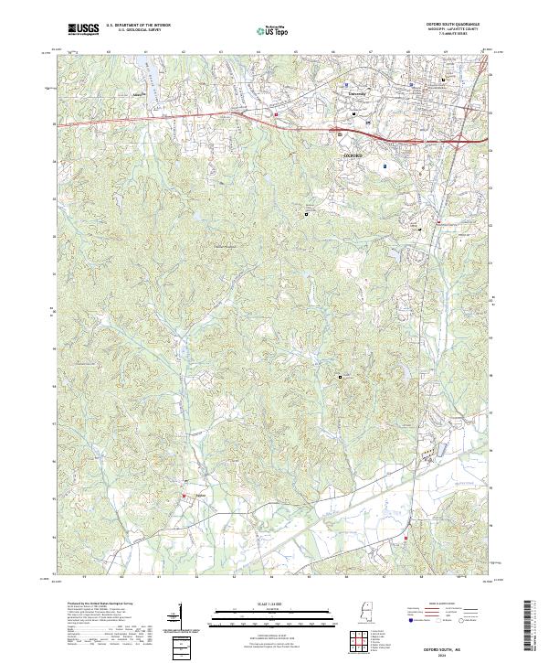
2024 Oxford South
Lafayette County, MS
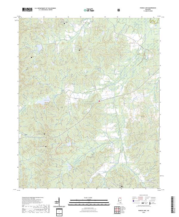
2024 Puskus Lake
Lafayette County, MS
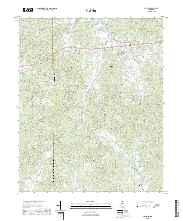
2024 Splinter
Lafayette County, MS
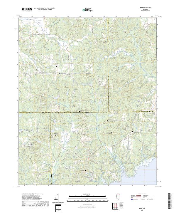
2024 Tyro
Lafayette County, MS
2024 Yocona
Lafayette County, MS