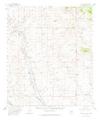
1959 Map of York Valley
USGS Topo · Published 1982About this map
The Gila River corridor serves as the primary artery through this rugged Arizona and New Mexico borderland, anchoring a series of riverbank settlements and private holdings. Small agricultural and ranching communities such as York, Sheldon, and Apache Grove follow the water's path, supported by the Southern Pacific rail line and the Monero Canal. To the west, the Peloncillo Mountains rise sharply, punctuated by industrial activity at the Ash Peak Mines and Godfrey Mines.
Find a feature on this map
95 named features on this map. Tap any name to fly to it.
Don’t see what you’re looking for? This feature index may not catch every label — zoom into the map to look around manually.
Map Details
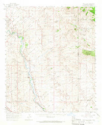
Editions of this 1959 York Valley Map
3 editions found

Other maps of this area

1902 · Clifton
USGS Topo · 1:62,500

1910 · Mogollon
USGS Topo · 1:125,000

1912 · Mogollon
USGS Topo · 1:125,000

1913 · Morenci
USGS Topo · 1:125,000

1915 · Morenci
USGS Topo · 1:125,000

1954 · Silver City
USGS Topo · 1:250,000

1954 · Clifton
USGS Topo · 1:250,000

1957 · Clifton
USGS Topo · 1:250,000

1958 · Silver City
USGS Topo · 1:250,000

1958 · Clifton
USGS Topo · 1:250,000