
1953 Map of Yorkville
USGS Topo · Published 1955About this map
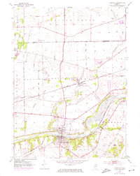
The Fox River anchors this mid-century survey of Kendall County, where the growing community of Yorkville sits at the southern bend of the water. Just to the north, the dual identity of Bristol (PO and Sta) and the original Bristol settlement highlight a landscape shaped by the Chicago Burlington and Quincy railroad line. This transportation corridor connects the small townships of Bristol, Sugar Grove, and Little Rock, marking the transition between agricultural lands and the riverside industrial interests represented by local gravel pits.
Find a feature on this map
27 named features on this map. Tap any name to fly to it.
Don’t see what you’re looking for? This feature index may not catch every label — zoom into the map to look around manually.
Map Details
Editions of this 1953 Yorkville Map
3 editions found
Other maps of this area

1925 · Yorkville
USGS Topo · 1:62,500

1932 · Geneva
USGS Topo · 1:62,500

1937 · Sycamore
USGS Topo · 1:62,500

1948 · Geneva
USGS Topo · 1:62,500

1948 · Sandwich
USGS Topo · 1:62,500

1950 · Sandwich
USGS Topo · 1:62,500

1950 · Aurora North
USGS Topo · 1:24,000

1953 · Plattville
USGS Topo · 1:24,000

1953 · Yorkville SE
USGS Topo · 1:24,000
1954 · Aurora South
USGS Topo · 1:24,000