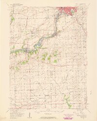
1954 Map of Yorkville
USGS Topo · Published 1959About this map
The Fox River valley serves as the primary corridor for development and transit through Kendall County in the mid-1950s. While Aurora expands toward the northeast corner of the sheet, the river connects established centers like Montgomery, Oswego, and Yorkville. The importance of rail travel is clear through the Chicago Burlington and Quincy line, which services the dual community of Bristol (PO and Sta). South of the river, the landscape transitions into a grid of rural agricultural townships including Na Ausay and Lisbon.
Find a feature on this map
66 named features on this map. Tap any name to fly to it.
Don’t see what you’re looking for? This feature index may not catch every label — zoom into the map to look around manually.
Map Details
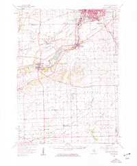
Editions of this 1954 Yorkville Map
2 editions found
Other maps of this area

1892 · Morris
USGS Topo · 1:62,500

1892 · Marseilles
USGS Topo · 1:62,500

1892 · Joliet
USGS Topo · 1:62,500

1892 · Wilmington
USGS Topo · 1:62,500

1908 · Wheaton
USGS Topo · 1:62,500

1916 · Marseilles
USGS Topo · 1:62,500

1918 · Wilmington
USGS Topo · 1:62,500

1918 · Morris
USGS Topo · 1:62,500

1923 · Joliet
USGS Topo · 1:62,500

1925 · Yorkville
USGS Topo · 1:62,500