
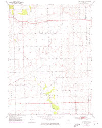
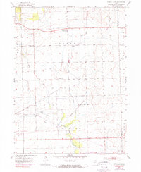
1953 Map of Yorkville SE
USGS Topo · Published 1955About this map
The agricultural landscape of Naausay and Seward townships is defined by the branching tributaries of Aux Sable Creek in this mid-century survey. The settlement of Plattville sits near the western boundary, while the local social fabric is marked by several rural schoolhouses, including Marysville Sch, McCauley Sch, and Jones Sch. These small educational sites, scattered across the sections, reflect the dispersed nature of the Illinois farming community before the consolidation of rural districts.
Find a feature on this map
19 named features on this map. Tap any name to fly to it.
Don’t see what you’re looking for? This feature index may not catch every label — zoom into the map to look around manually.
Map Details
Editions of this 1953 Yorkville SE Map
3 editions found
Other maps of this area

1892 · Morris
USGS Topo · 1:62,500

1892 · Joliet
USGS Topo · 1:62,500

1892 · Wilmington
USGS Topo · 1:62,500

1918 · Wilmington
USGS Topo · 1:62,500

1918 · Morris
USGS Topo · 1:62,500

1923 · Joliet
USGS Topo · 1:62,500

1925 · Yorkville
USGS Topo · 1:62,500

1953 · Plattville
USGS Topo · 1:24,000

1953 · Lisbon
USGS Topo · 1:24,000

1953 · Yorkville
USGS Topo · 1:24,000