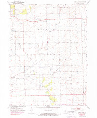
1953 Map of Yorkville SE
USGS Topo · Published 1974About this map
The agrarian landscape of the Naausay and Seward townships is defined by the branching waterways of the Aux Sable Creek system. Settled agricultural patterns are evident in the placement of rural institutions like the Marysville Sch and McCauley Sch, which served the farming families of Kendall County in the early 1950s. The village of Plattville stands as a primary community hub in the southwest, while the Naausay Ch and adjacent Naausay Cem provide a focal point for local genealogical interest.
Find a feature on this map
20 named features on this map. Tap any name to fly to it.
Don’t see what you’re looking for? This feature index may not catch every label — zoom into the map to look around manually.
Map Details
Editions of this 1953 Yorkville SE Map
3 editions found

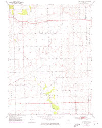
Other maps of this area

1892 · Morris
USGS Topo · 1:62,500

1892 · Joliet
USGS Topo · 1:62,500

1892 · Wilmington
USGS Topo · 1:62,500

1918 · Wilmington
USGS Topo · 1:62,500

1918 · Morris
USGS Topo · 1:62,500

1923 · Joliet
USGS Topo · 1:62,500

1925 · Yorkville
USGS Topo · 1:62,500

1953 · Plattville
USGS Topo · 1:24,000

1953 · Lisbon
USGS Topo · 1:24,000

1953 · Yorkville
USGS Topo · 1:24,000