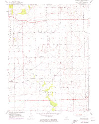
1953 Map of Yorkville SE
USGS Topo · Published 1974About this map
The prairie landscape of the Naausay and Seward townships is defined by the branching tributaries of the Aux Sable Creek. At the time of this survey, the area remained predominantly agricultural, anchored by the settlement of Plattville in the southwest and a network of rural schoolhouses and churches. The branching of the West Aux Sable Creek, Middle Aux Sable Creek, and East Aux Sable Creek across the central township illustrates the natural drainage patterns of the Illinois till plain before modern residential expansion. The presence of several family-named landmarks, such as McCauley Sch and Marysville Sch, along with the Naausay Cem, provides essential points of reference for genealogists tracing nineteenth and early twentieth-century rural life in this corner of Kendall County.
Find a feature on this map
20 named features on this map. Tap any name to fly to it.
Don’t see what you’re looking for? This feature index may not catch every label — zoom into the map to look around manually.
Map Details
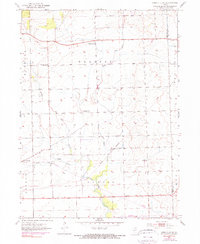
Editions of this 1953 Yorkville SE Map
3 editions found

Other maps of this area

1892 · Morris
USGS Topo · 1:62,500

1892 · Joliet
USGS Topo · 1:62,500

1892 · Wilmington
USGS Topo · 1:62,500

1918 · Wilmington
USGS Topo · 1:62,500

1918 · Morris
USGS Topo · 1:62,500

1923 · Joliet
USGS Topo · 1:62,500

1925 · Yorkville
USGS Topo · 1:62,500

1953 · Plattville
USGS Topo · 1:24,000

1953 · Lisbon
USGS Topo · 1:24,000

1953 · Yorkville
USGS Topo · 1:24,000