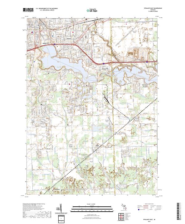
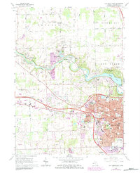
2023 Map of Ypsilanti East
USGS Topo · Published 2023About this map
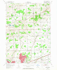
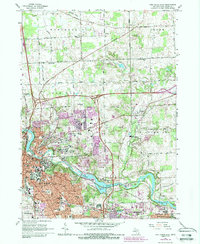
Eastern Michigan University anchors the northwest corner of this region, where the Huron River transitions into the expansive waters of Ford Lake. The landscape reflects a dense network of suburban development and historical transit corridors like E Michigan Ave and Us HWY 12, which serve as the backbone for neighborhoods such as Eastlawn and Rawsonville. To the east, the sprawling infrastructure of Willow Run Airport highlights the area's long-standing connection to the aviation industry.
Find a feature on this map
53 named features on this map. Tap any name to fly to it.
Don’t see what you’re looking for? This feature index may not catch every label — zoom into the map to look around manually.
Map Details
Editions of this 2023 Ypsilanti East Map
This is the sole edition of this map. No revisions or reprints were ever made.
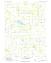
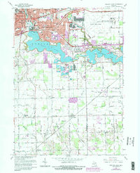
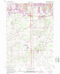
Historical Maps of Normal Park Through Time
19 maps found
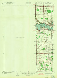
1936 Denton
Washtenaw County, MI
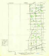
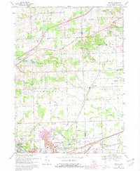
1936 Ypsilanti East
Washtenaw County, MI
1942 Denton
Washtenaw County, MI
1942 Ypsilanti East
Washtenaw County, MI
1953 Denton
Washtenaw County, MI
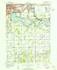
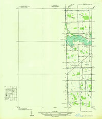
1953 Ypsilanti East
Washtenaw County, MI
1965 Ann Arbor East
Washtenaw County, MI
1965 Ann Arbor West
Washtenaw County, MI
1967 Bridgewater
Washtenaw County, MI
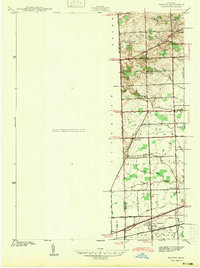
1967 Ypsilanti East
Washtenaw County, MI
1967 Ypsilanti West
Washtenaw County, MI
1969 Denton
Washtenaw County, MI
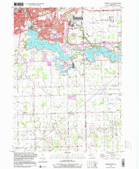
1996 Ypsilanti East
Washtenaw County, MI
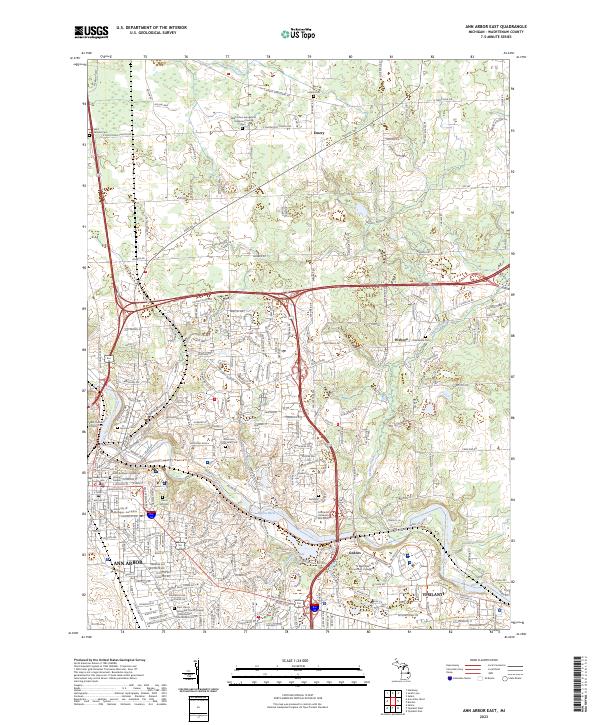
2023 Ann Arbor East
Washtenaw County, MI
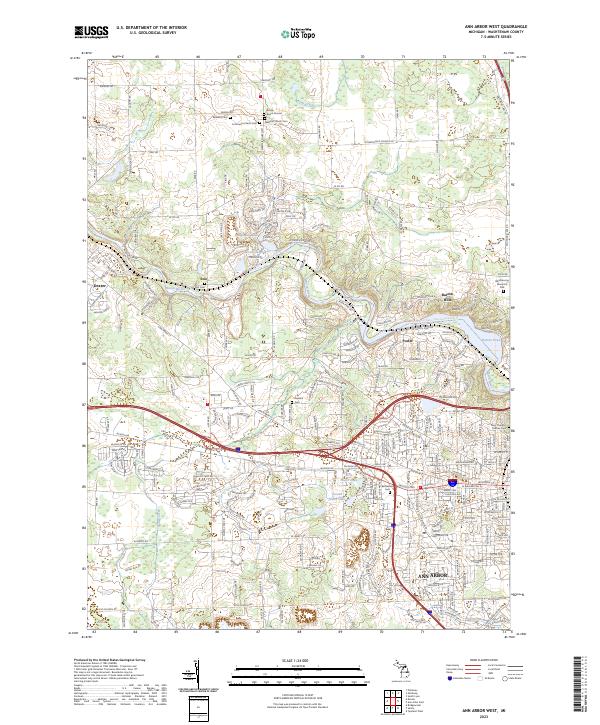
2023 Ann Arbor West
Washtenaw County, MI
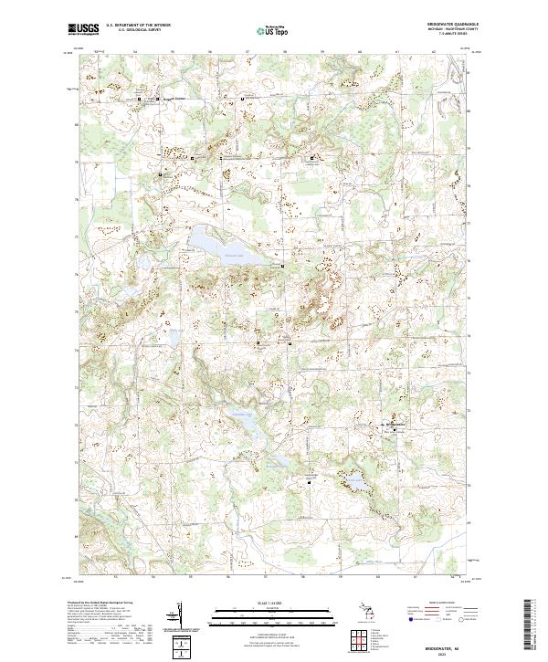
2023 Bridgewater
Washtenaw County, MI
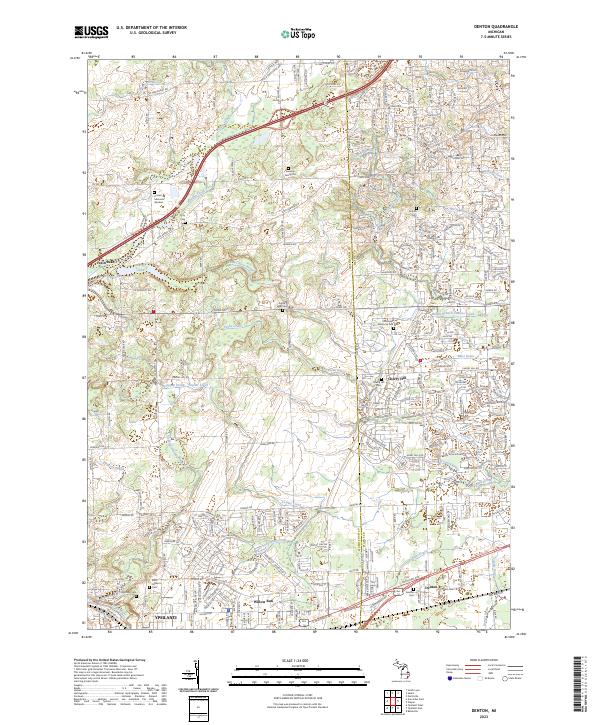
2023 Denton
Washtenaw County, MI
2023 Ypsilanti East
Washtenaw County, MI
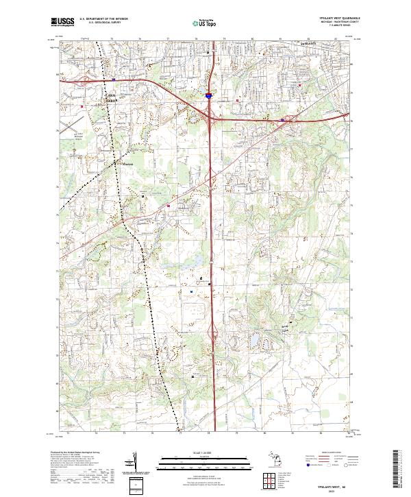
2023 Ypsilanti West
Washtenaw County, MI
Featured Locations
- Van Buren Charter Township, MI
- Sumpter Township, MI
- Augusta Charter Township, MI
- Ypsilanti, MI
- Ypsilanti Charter Township, MI