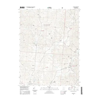
2016 Map of Zaleski
USGS Topo · Published 2016About this map
Zaleski and McArthur anchor this landscape within the Wayne National Forest, where the terrain is defined by a network of ridges and hollows such as Bethel Ridge and Mitchell Hollow. The area's mid-20th-century development is visible through the Vinton County Airport and the Industrial Park Rd corridor near the Elk Fork drainage. For genealogists, the map is a dense record of local burial sites, including the Saint Sylvester Cem and Oak Grove Cem near Zaleski, as well as the Mount Zion Cem and Prose Cem further north. The settlement of Creola sits along the Brushy Fork, while the intricate system of township roads, such as Bolster Hollow Rd and Powder Plant Rd, suggests a long history of resource extraction and rural habitation in the valleys surrounding Raccoon Creek.
Find a feature on this map
109 named features on this map. Tap any name to fly to it.
Don’t see what you’re looking for? This feature index may not catch every label — zoom into the map to look around manually.
Map Details
Editions of this 2016 Zaleski Map
This is the sole edition of this map. No revisions or reprints were ever made.
Other maps of this area

1904 · Zaleski
USGS Topo · 1:62,500

1905 · Wilkesville
USGS Topo · 1:62,500

1907 · Zaleski
USGS Topo · 1:62,500

1908 · Wilkesville
USGS Topo · 1:62,500

1910 · Laurelville
USGS Topo · 1:62,500

1912 · Laurelville
USGS Topo · 1:62,500

1913 · Jackson
USGS Topo · 1:62,500

1944 · Jackson
USGS Topo · 1:62,500

1944 · Laurelville
USGS Topo · 1:62,500

1947 · Columbus
USGS Topo · 1:250,000