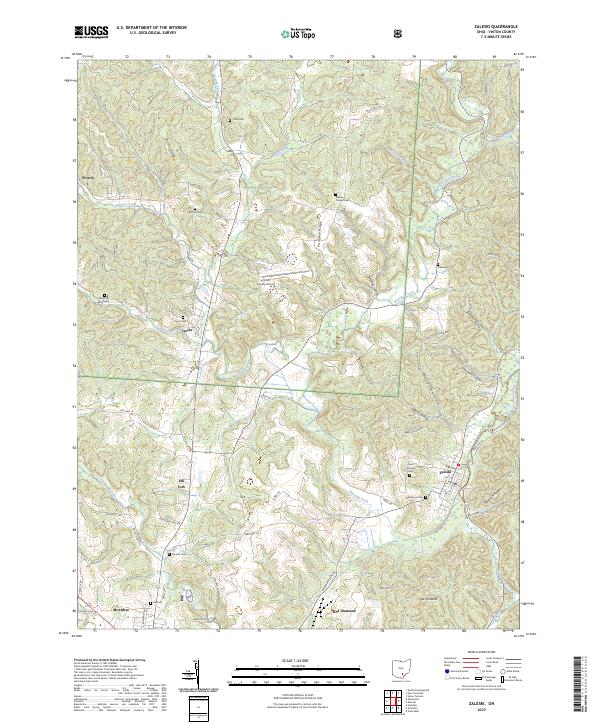
2023 Map of Zaleski
USGS Topo · Published 2023About this map
Wayne National Forest dominates the topography of this Vinton County survey, where the rugged terrain of the Allegheny Plateau is carved by Raccoon Creek and its many tributaries. The village of Zaleski serves as a primary point of reference, situated near the intersection of several ridge-top and valley-bottom routes including Dutch Lane and Nat For Dev Rd 1. This area is rich in local heritage markers, featuring numerous hilltop cemeteries such as Saint Sylvester Cem and Oak Grove Cem that overlook the deeply incised valleys of Webb Hollow and Coalmont Hollow. The settlement patterns follow the winding path of Elk Fork and the high ground of Pumpkin Ridge, illustrating the long-standing relationship between the region's topography and its community development. Further south, the map includes a portion of McArthur and the Vinton County Airport, alongside distinctive landforms like The Pinnacle.
Find a feature on this map
67 named features on this map. Tap any name to fly to it.
Don’t see what you’re looking for? This feature index may not catch every label — zoom into the map to look around manually.
Map Details
Editions of this 2023 Zaleski Map
This is the sole edition of this map. No revisions or reprints were ever made.
Other maps of this area

1904 · Zaleski
USGS Topo · 1:62,500

1905 · Wilkesville
USGS Topo · 1:62,500

1907 · Zaleski
USGS Topo · 1:62,500

1908 · Wilkesville
USGS Topo · 1:62,500

1910 · Laurelville
USGS Topo · 1:62,500

1912 · Laurelville
USGS Topo · 1:62,500

1913 · Jackson
USGS Topo · 1:62,500

1944 · Jackson
USGS Topo · 1:62,500

1944 · Laurelville
USGS Topo · 1:62,500

1947 · Columbus
USGS Topo · 1:250,000