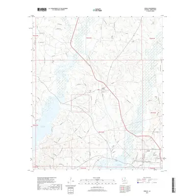
2018 Map of Zwolle
USGS Topo · Published 2018About this map
The town of Zwolle and the village of Noble anchor this Sabine Parish landscape, characterized by the winding creek systems and wetlands that feed into the eastern reaches of the Toledo Bend Reservoir. The map reveals a high density of small family and community burial grounds, including Sardis Cem, Shiloh Cem, and Parrott Cem, which offer significant value for genealogists tracing regional lineages. The terrain is defined by a series of bayous, most notably Bayou San Patricio and Bayou San Miguel, which dictate the local road network as it navigates the low-lying drainage basins.
Find a feature on this map
82 named features on this map. Tap any name to fly to it.
Don’t see what you’re looking for? This feature index may not catch every label — zoom into the map to look around manually.
Map Details
Editions of this 2018 Zwolle Map
This is the sole edition of this map. No revisions or reprints were ever made.
Other maps of this area

1941 · Zwolle
USGS Topo · 1:62,500

1941 · Pelican
USGS Topo · 1:62,500

1943 · Pleasant Hill
USGS Topo · 1:62,500

1944 · Logansport
USGS Topo · 1:62,500

1944 · Patroon
USGS Topo · 1:62,500

1944 · Zwolle
USGS Topo · 1:62,500

1944 · Pleasant Hill
USGS Topo · 1:62,500

1953 · Alexandria
USGS Topo · 1:250,000

1955 · Alexandria
USGS Topo · 1:250,000

1956 · Logansport
USGS Topo · 1:62,500