2020s Maps of Cochise County, Arizona
Explore 137 historic maps of Cochise County from the 2020s. These maps offer a rare glimpse into what life looked like during the 2020s — showing old roads, neighborhoods, homes, and landmarks that have changed or disappeared over time.
Whether you're researching your family's past, planning a metal detecting trip, or studying how Cochise County's landscape evolved across the 2020s, these high-resolution maps are a powerful tool for exploring the history of this region.
- Focus on a specific era: All maps on this page are from the 2020s, giving you a focused view of this time period.
- See what’s changed: Compare century-old streets, trails, and buildings to today's modern landscape using overlays and satellite layers.
- Research with precision: Use these maps for genealogy, historical research, land use analysis, or educational projects.
- View, download, or print: Maps are fully viewable online in high resolution, and can be downloaded or printed for your own records.
Start exploring Cochise County's history through authentic maps from the 2020s. This is your window into the past.
Cochise County, AZ maps
(137)- 2020 Map of Guadalupe Spring, 2020 Print
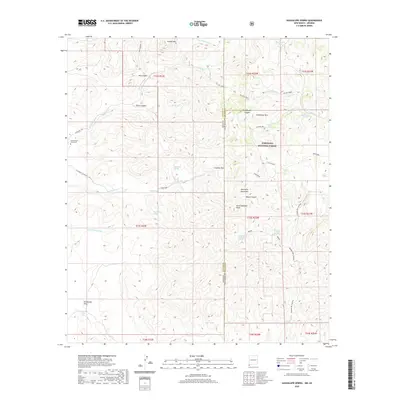 2020 Guadalupe Spring2020 Print · USGSCovers Cochise County, including Hidalgo County, United States, and other nearby areas
 - 2020 Map of Skull Canyon, 2020 Print
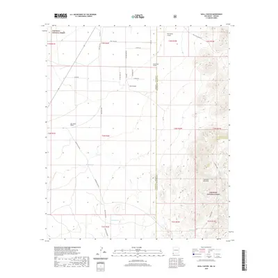 2020 Skull Canyon2020 Print · USGSCovers Cochise County, including Hidalgo County, United States, and other nearby areas
 - 2020 Map of Skeleton Canyon, 2020 Print
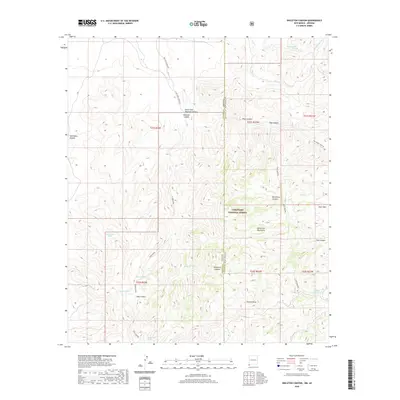 2020 Skeleton Canyon2020 Print · USGSCovers Cochise County, including Hidalgo County, United States, and other nearby areas
 - 2020 Map of San Simon Cienega, 2020 Print
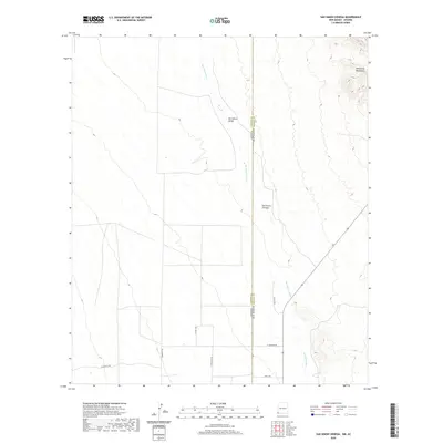 2020 San Simon Cienega2020 Print · USGSCovers Cochise County, including Hidalgo County, United States, and other nearby areas
 - 2020 Map of Rodeo, 2020 Print
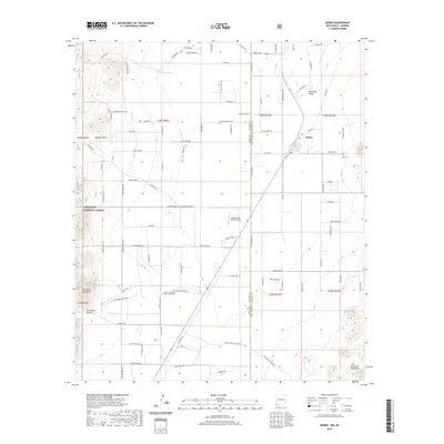 2020 Rodeo2020 Print · USGSCovers Cochise County, including Rodeo, Hidalgo County, and other nearby areas
 - 2021 Map of Swede Peak, 2021 Print
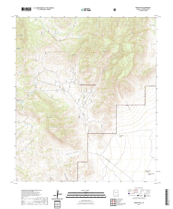 2021 Swede Peak2021 Print · USGSThe high Chiricahua Mountains and the Coronado National Forest define this corner of Cochise County during the early twenty-first century. Researchers can trace remote trails and essential desert water sources like Cottonwood Spring, Swede Peak, and High Lonesome Spring.
 - 2021 Map of Bisbee NE, 2021 Print
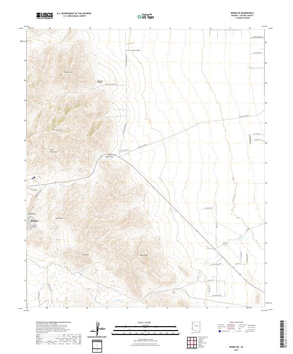 2021 Bisbee NE2021 Print · USGSThe mining district of Bisbee and the planned community of Warren meet the high desert at the edge of the Mule Mountains in this modern survey. Researchers can trace the local drainage of Mule Gulch or locate family-named rural routes such as N Presgrove Ln.
 - 2021 Map of Potter Mountain, 2021 Print
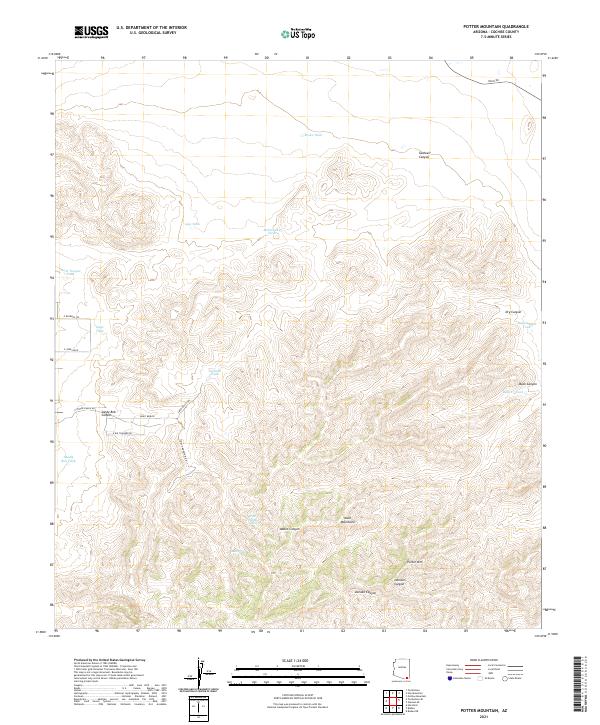 2021 Potter Mountain2021 Print · USGSCochise County's arid high-desert landscape is documented here in the early twenty-first century as ranching infrastructure meets the rising slopes of the Mule Mountains. Researchers can trace old water sources and access routes like Little Sandy Spring, Sandy Bob Tank, and S Mule Mountain Dr.
 - 2021 Map of McNeal, 2021 Print
 2021 McNeal2021 Print · USGSSoutheastern Arizona's high desert reveals its modern ranching and residential character in this recent survey of the Sulphur Springs Valley. Genealogists and local historians can locate the Mcneal Cem and trace rural land holdings near McNeal and Ethnos Air.
 - 2021 Map of Portal, 2021 Print
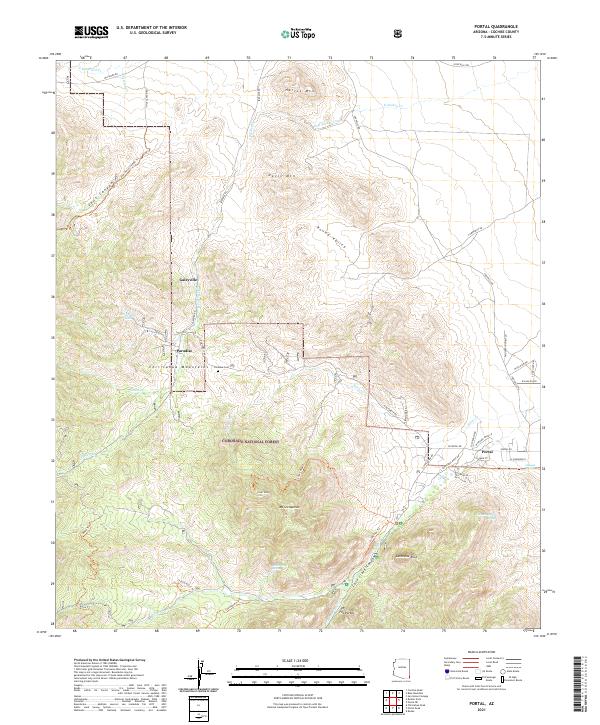 2021 Portal2021 Print · USGSThe Chiricahua Mountains in Cochise County are captured here at the start of the 2020s, showing a landscape shaped by both history and conservation. Genealogists and hikers can trace the areas around Paradise, Portal, and the Paradise Cem, or follow trails into the Cave Creek Canyon.
 - 2021 Map of Elfrida, 2021 Print
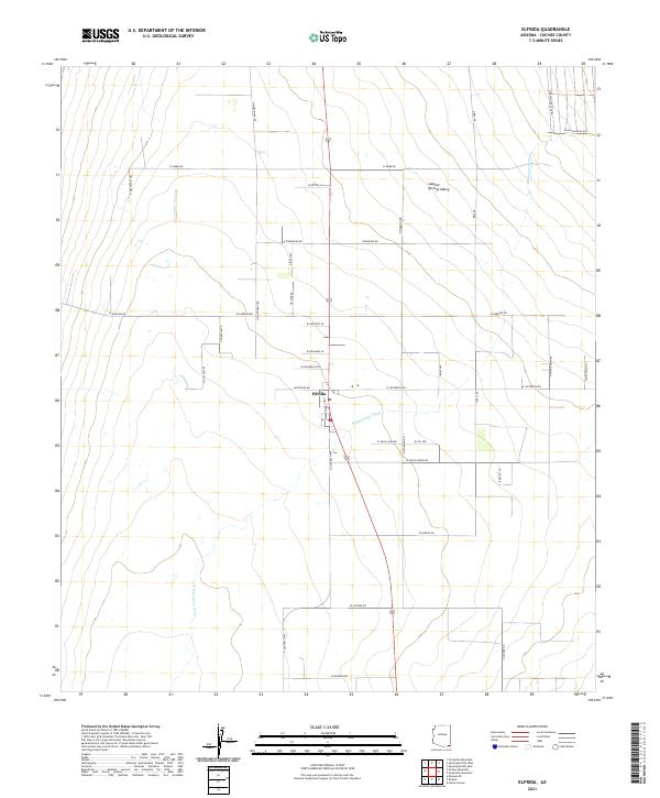 2021 Elfrida2021 Print · USGSThe rural community of Elfrida and the surrounding Sulphur Springs Valley are shown in detail as they appeared in 2021. Genealogists and local historians can trace family properties and modern road networks like N Central Hwy and W White Water Rd.
 - 2021 Map of Black Diamond Peak, 2021 Print
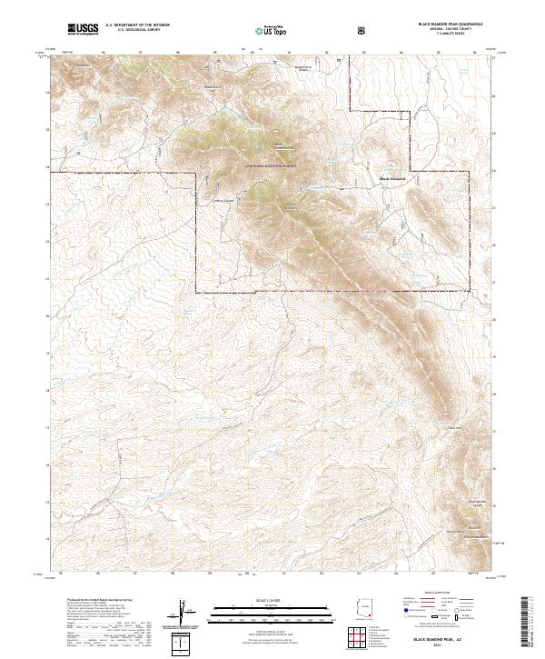 2021 Black Diamond Peak2021 Print · USGSThe Dragoon Mountains of Cochise County are shown here in modern detail, focusing on the high peaks and water sources of the Coronado National Forest. Genealogists and historians can trace old routes through Middlemarch Pass and locate the site of Black Diamond near Black Diamond Peak.
 - 2021 Map of Leslie Canyon, 2021 Print
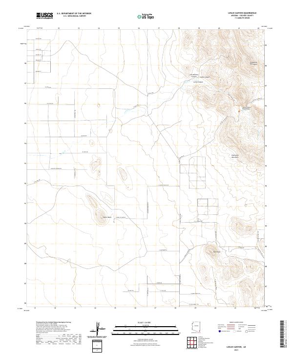 2021 Leslie Canyon2021 Print · USGSCochise County’s high-desert ranch lands and mountain ranges are documented here in the early twenty-first century. Researchers can trace the drainage of Leslie Cr and locate remote landmarks like Taylor Butte and the Leslie Canyon Road Bridge.
 - 2021 Map of Pedregosa Mountains West, 2021 Print
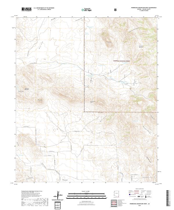 2021 Pedregosa Mountains West2021 Print · USGSCochise County’s high desert peaks and protected riparian corridors come to life in this contemporary survey of the Arizona borderlands. Researchers can trace the drainage patterns of Hale Canyon or locate remote watering points like Walnut Spring and Big Bend Cr.
 - 2021 Map of Pearce, 2021 Print
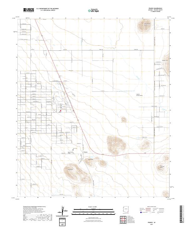 2021 Pearce2021 Print · USGSCochise County's high desert landscape comes into focus during this modern era of Arizona settlement. Genealogists and researchers can trace local family landmarks and infrastructure like Pearce Cem, Pearce Road Bridge, and the elevations of Pearce Hill.
 - 2021 Map of Swisshelm Mountain, 2021 Print
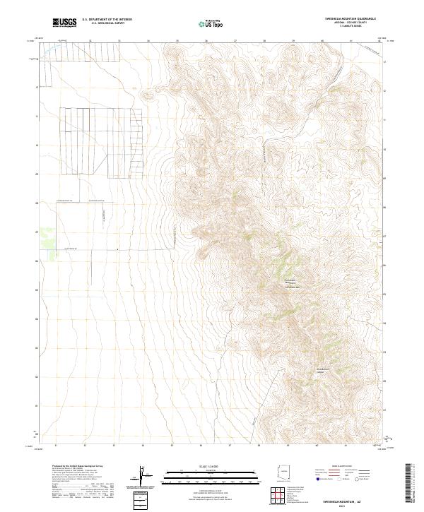 2021 Swisshelm Mountain2021 Print · USGSSoutheastern Arizona at the start of the 2020s remains a landscape of high desert peaks and wide basins. You can trace the rugged geometry of the Swisshelm Mountains and follow named routes like N Mountain Queen Rd or the canyon floor of Gila Monster Canyon.
 - 2021 Map of Outlaw Mountain, 2021 Print
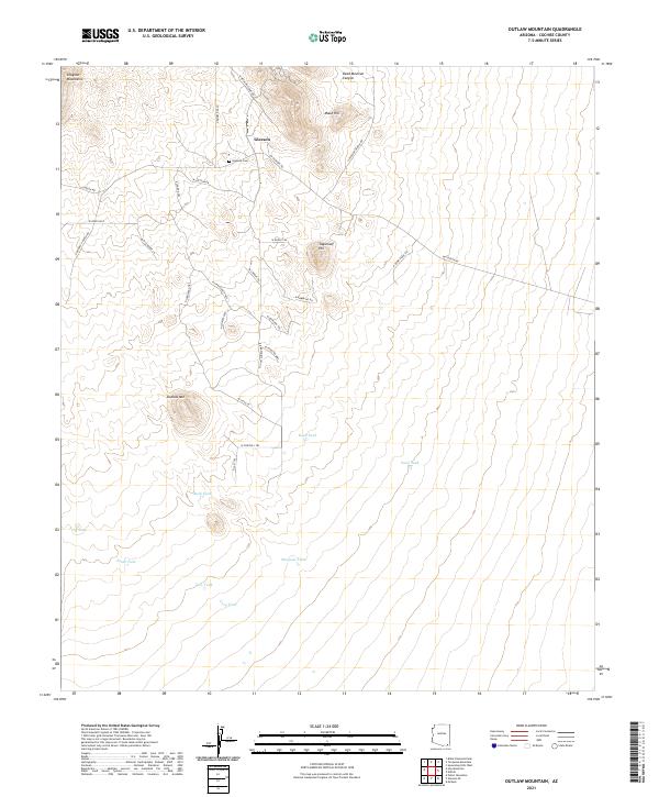 2021 Outlaw Mountain2021 Print · USGSCochise County's desert ranching and mining country is captured here in the early twenty-first century as modern roads trace historic paths. Genealogists can locate Gleeson Cem near the settlement of Gleeson, while topographical researchers can trace landmarks like Outlaw Mtn and Frog Lake.
 - 2021 Map of Douglas NE, 2021 Print
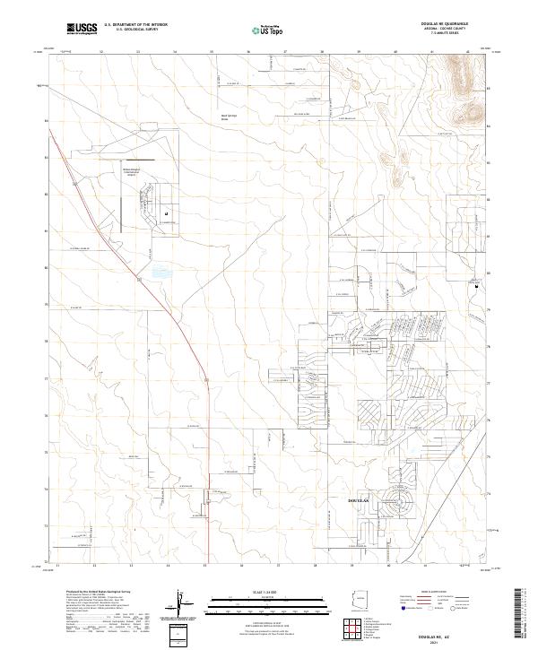 2021 Douglas NE2021 Print · USGSThe northern outskirts of Douglas and the high desert of Cochise County appear here in the early twenty-first century. Researchers can locate family landmarks like the Wells Family Cem and trace the development around the Bisbee Douglas International Airport.
 - 2021 Map of Douglas, 2021 Print
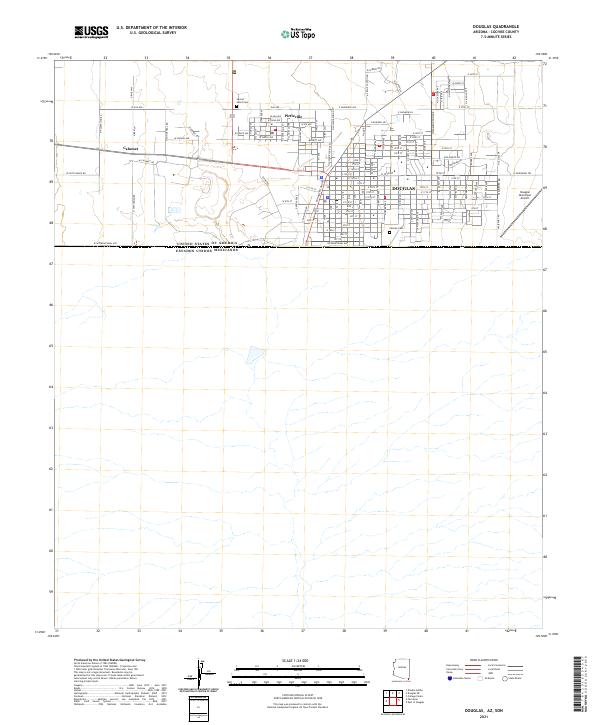 2021 Douglas2021 Print · USGSThe Arizona-Mexico border landscape is documented here in the early twenty-first century, showing the established grid of Douglas. Genealogists and historians can trace local family landmarks at Sacred Heart Cemetery and Calvary Cemetery or the nearby community of Pirtleville.
 - 2021 Map of Sulphur Hills, 2021 Print
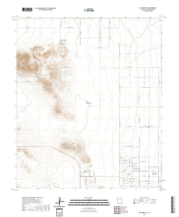 2021 Sulphur Hills2021 Print · USGSCochise County’s desert ranchlands are captured here in recent years, showing the intersection of remote settlements and rugged geography. Genealogists and historians can locate Sunizona and the Light Cem, or trace ranching footprints along E Parker Ranch Rd and S West Well Ranch Rd.
 - 2021 Map of Paul Spur, 2021 Print
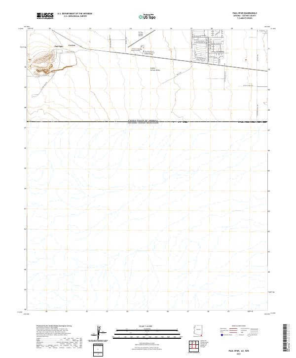 2021 Paul Spur2021 Print · USGSThe Arizona-Mexico border landscape comes into focus in this contemporary survey of the southern Sulphur Springs Valley. Researchers can trace the academic grid of Cochise College and explore the rural settlements of Paul Spur and Forrest.
 - 2021 Map of Turquoise Mountain, 2021 Print
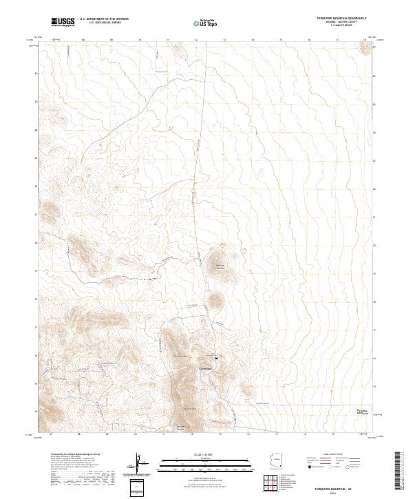 2021 Turquoise Mountain2021 Print · USGSCochise County’s mining heritage and high-desert terrain are mapped in great detail during the early 2020s. Genealogists and historians can trace the remnants of Courtland, locate the Courtland Cem, and follow the path of Ghost Town Trl.
 - 2021 Map of Stark, 2021 Print
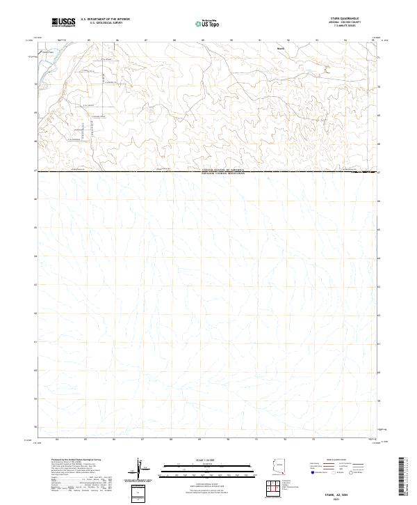 2021 Stark2021 Print · USGSThe Arizona borderlands near Stark are captured in this recent survey of the Cochise County desert. Researchers can trace the path of the San Pedro River and the international line at International Rd alongside local routes like S Triple R Ranch Rd.
 - 2021 Map of West of Guadalupe Canyon, 2021 Print
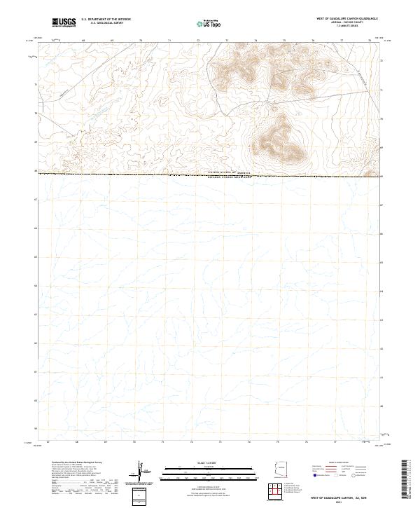 2021 West of Guadalupe Canyon2021 Print · USGSCochise County’s borderlands are captured here in the early twenty-first century, showcasing the sparse ranching country along the Mexican border. Trace the paths of the historic Geronimo Trl and Guadalupe Canyon Rd as they navigate the arid terrain.
 - 2021 Map of Fairbank, 2021 Print
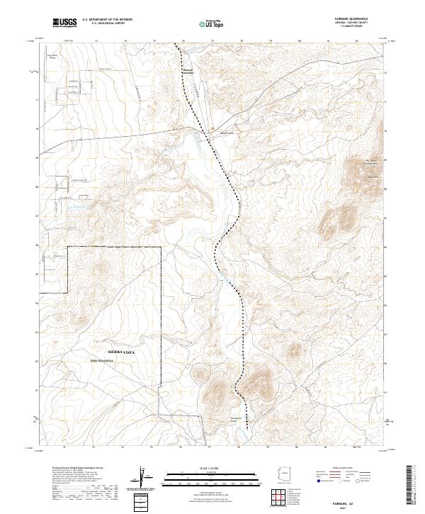 2021 Fairbank2021 Print · USGSThe San Pedro River valley comes to life in this recent survey, showing the desert confluence where the Babocomari River meets the main channel. Trace local landmarks like Graveyard Gulch or the heights of The Three Brothers Hills.
Showing maps 1-25 of 137
Top cities of Cochise County
- Sierra Vista historical maps
- Douglas historical maps
- Bisbee historical maps
- Benson historical maps
- Willcox historical maps
- Whetstone historical maps
See more
Frequently asked questions
- What are the different types of historical maps available for Cochise County?
- What is the oldest map of Cochise County?
- Where can I purchase historical maps of Cochise County for my home or office?
- Where can I download high-res historical maps of Cochise County?
- Are there historical topographic maps available for Cochise County?
- Is there historical aerial imagery available for Cochise County?
- Where are historical maps of Cochise County sourced from?