2000s (21st Century) Maps of Cochise County, Arizona
Explore 504 historic maps of Cochise County from the 2000s (21st Century). These maps offer a rare glimpse into what life looked like during the 2000s — showing old roads, neighborhoods, homes, and landmarks that have changed or disappeared over time.
Whether you're researching your family's past, planning a metal detecting trip, or studying how Cochise County's landscape evolved across the 2000s, these high-resolution maps are a powerful tool for exploring the history of this region.
- Focus on a specific era: All maps on this page are from the 2000s, giving you a focused view of this time period.
- See what’s changed: Compare century-old streets, trails, and buildings to today's modern landscape using overlays and satellite layers.
- Research with precision: Use these maps for genealogy, historical research, land use analysis, or educational projects.
- View, download, or print: Maps are fully viewable online in high resolution, and can be downloaded or printed for your own records.
Start exploring Cochise County's history through authentic maps from the 2000s. This is your window into the past.
Cochise County, AZ maps
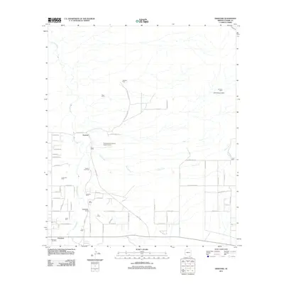
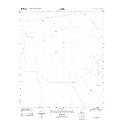
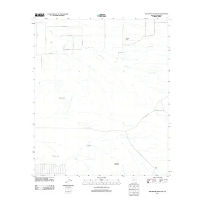
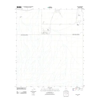
(504)- 2004 Map of Montezuma Pass, 2007 Print
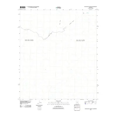
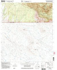 2004 Montezuma Pass2007 Print · USGSCochise County meets the international border in the early 2000s, where federal wilderness and memorials converge on the high desert. Researchers can trace historic mining operations at the State of Texas Mine, find remote water sources like Yaqui Spring, and follow the Miller Peak Trail across the peaks.
 - 2004 Map of Campini Mesa, 2007 Print
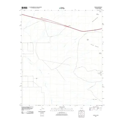
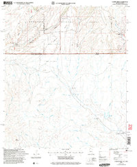 2004 Campini Mesa2007 Print · USGSThe Arizona-Mexico borderlands come into sharp focus in the early 2000s, where high desert ranching meets the rugged southern canyons. Genealogists and historians can trace family land holdings at Bercich Ranch or follow the complex arroyo systems leading to Las Peñitas and Álamo Gordo.
 - 2004 Map of Bob Thompson Peak, 2007 Print
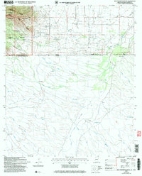 2004 Bob Thompson Peak2007 Print · USGSThe Arizona-Mexico borderlands south of Cochise County appear in high detail during the early 2000s, showing the intersection of international boundaries and high desert ranching. Researchers can trace the drainage patterns of Arroyo El Coyote or locate specific sites like Smith Ranch and Los Corrales.
 - 2010 Map of Doubtful Canyon, 2010 Print
 2010 Doubtful Canyon2010 Print · USGSCovers Cochise County, including Hidalgo County, United States, and other nearby areas
 - 2010 Map of Guadalupe Canyon, 2010 Print
 2010 Guadalupe Canyon2010 Print · USGSCovers Cochise County, including Puerta Blanca, Agua Prieta, and other nearby areas
 - 2010 Map of Engine Mountain, 2010 Print
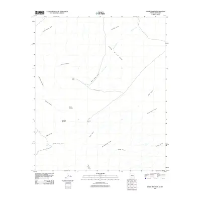 2010 Engine Mountain2010 Print · USGSCovers Cochise County, including Graham County, Greenlee County, and other nearby areas
 - 2010 Map of San Simon Cienega, 2010 Print
 2010 San Simon Cienega2010 Print · USGSCovers Cochise County, including Hidalgo County, United States, and other nearby areas
 - 2010 Map of Vanar, 2010 Print
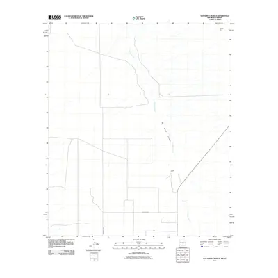
 2010 Vanar2010 Print · USGSCovers Cochise County, including Hidalgo County, United States, and other nearby areas
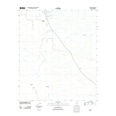
 - 2011 Map of Land, 2011 Print
 2011 Land2011 Print · USGSCovers Cochise County, including Contention, Boquillas, and other nearby areas
 - 2011 Map of Tombstone SE, 2011 Print
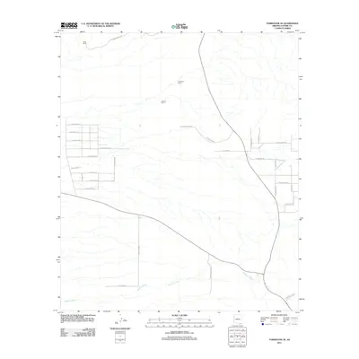 2011 Tombstone SE2011 Print · USGSCovers Cochise County, including Sierra Vista, United States, and other nearby areas
 - 2011 Map of Saint David, 2011 Print
 2011 Saint David2011 Print · USGSCovers Cochise County, including Curtiss, Fenner, and other nearby areas
 - 2011 Map of Lewis Springs, 2011 Print
 2011 Lewis Springs2011 Print · USGSCovers Cochise County, including Sierra Vista, United States, and other nearby areas
 - 2011 Map of Hereford, 2011 Print
 2011 Hereford2011 Print · USGSCovers Cochise County, including Sierra Vista, Hereford, and other nearby areas
 - 2011 Map of Fort Huachuca, 2011 Print
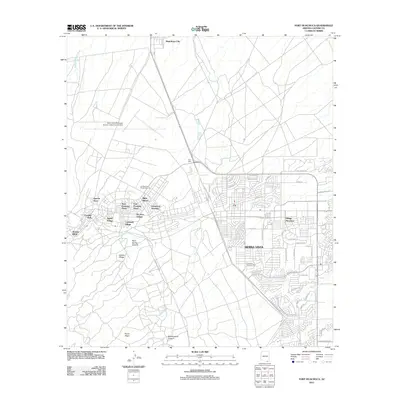 2011 Fort Huachuca2011 Print · USGSCovers Cochise County, including Sierra Vista, Huachuca City, and other nearby areas
 - 2011 Map of Bisbee NE, 2011 Print
 2011 Bisbee NE2011 Print · USGSCovers Cochise County, including Bisbee, United States, and other nearby areas
 - 2011 Map of Million Dollar Tank, 2011 Print
 2011 Million Dollar Tank2011 Print · USGSCovers Cochise County, including United States, Arizona, and other nearby areas
 - 2011 Map of Hay Mountain, 2011 Print
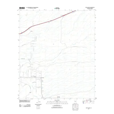
 2011 Hay Mountain2011 Print · USGSCovers Cochise County, including United States, Arizona, and other nearby areas
 - 2011 Map of West of Guadalupe Canyon, 2011 Print
 2011 West of Guadalupe Canyon2011 Print · USGSCovers Cochise County, including El Gis (El Fist), Agua Prieta, and other nearby areas
 - 2011 Map of Elfrida, 2011 Print
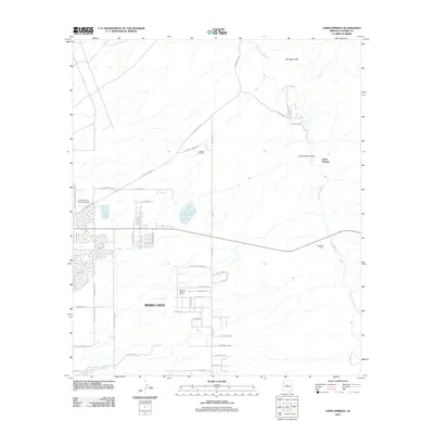
 2011 Elfrida2011 Print · USGSCovers Cochise County, including Elfrida, United States, and other nearby areas
 - 2011 Map of College Peaks, 2011 Print
 2011 College Peaks2011 Print · USGSCovers Cochise County, including Cazador, United States, and other nearby areas
 - 2011 Map of Squaretop Hills East, 2011 Print
 2011 Squaretop Hills East2011 Print · USGSCovers Cochise County, including United States, Arizona, and other nearby areas
 - 2011 Map of Douglas, 2011 Print
 2011 Douglas2011 Print · USGSCovers Cochise County, including Agua Prieta, Douglas, and other nearby areas
 - 2011 Map of Douglas NE, 2011 Print
 2011 Douglas NE2011 Print · USGSCovers Cochise County, including Douglas, United States, and other nearby areas
 - 2011 Map of Potter Mountain, 2011 Print
 2011 Potter Mountain2011 Print · USGSCovers Cochise County, including United States, Arizona, and other nearby areas
 - 2011 Map of Naco, 2011 Print
 2011 Naco2011 Print · USGSCovers Cochise County, including Naco, Naco, and other nearby areas
Showing maps 1-25 of 504
Top cities of Cochise County
- Sierra Vista historical maps
- Douglas historical maps
- Bisbee historical maps
- Benson historical maps
- Willcox historical maps
- Whetstone historical maps
See more
Frequently asked questions
- What are the different types of historical maps available for Cochise County?
- What is the oldest map of Cochise County?
- Where can I purchase historical maps of Cochise County for my home or office?
- Where can I download high-res historical maps of Cochise County?
- Are there historical topographic maps available for Cochise County?
- Is there historical aerial imagery available for Cochise County?
- Where are historical maps of Cochise County sourced from?