1970s Maps of Cochise County, Arizona
Explore 30 historic maps of Cochise County from the 1970s. These maps offer a rare glimpse into what life looked like during the 1970s — showing old roads, neighborhoods, homes, and landmarks that have changed or disappeared over time.
Whether you're researching your family's past, planning a metal detecting trip, or studying how Cochise County's landscape evolved across the 1970s, these high-resolution maps are a powerful tool for exploring the history of this region.
- Focus on a specific era: All maps on this page are from the 1970s, giving you a focused view of this time period.
- See what’s changed: Compare century-old streets, trails, and buildings to today's modern landscape using overlays and satellite layers.
- Research with precision: Use these maps for genealogy, historical research, land use analysis, or educational projects.
- View, download, or print: Maps are fully viewable online in high resolution, and can be downloaded or printed for your own records.
Start exploring Cochise County's history through authentic maps from the 1970s. This is your window into the past.
Cochise County, AZ maps
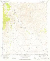
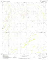
(30)- 1973 Map of Galleta Flat East, 1976 Print
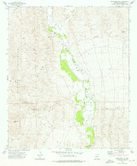
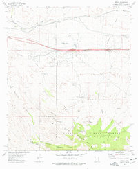
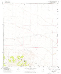
 1973 Galleta Flat East1976 Print · USGSCochise County during the 1970s reveals a ranching landscape centered on the San Pedro River. Genealogists and historians can trace local landmarks like Singing Wind Ranch, the flats of Cornfield Flat, and the northern edge of Pomerene.
 - 1973 Map of Benson, 1976 Print
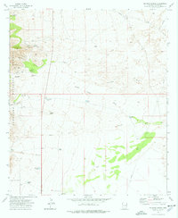
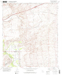
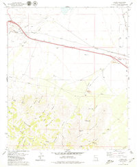
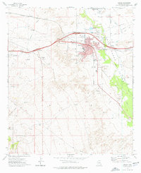 1973 Benson1976 Print · USGSBenson and the San Pedro Valley are shown in the early seventies as a thriving transportation hub where the railroad and new highway interchanges meet. Researchers can trace the layout of the Benson Cemetery, locate the High School, or find outlying landmarks like Post Ranch and the Benson Airport.2 unique versions available
 - 1973 Map of Wildhorse Mtn., 1976 Print
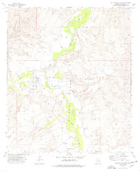
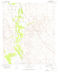
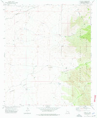
 1973 Wildhorse Mtn.1976 Print · USGSThe San Pedro River corridor in Cochise County appears here in the early 1970s, flanked by the high ridges of the Rincon Mountains. Genealogists and local historians can locate the Apodaca Cem and trace seasonal water sources like Diamond Spring and Palomas Spring.2 unique versions available
 - 1973 Map of Haberstock Hill, 1976 Print
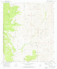
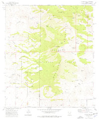
 1973 Haberstock Hill1976 Print · USGSCochise County's high desert landscape comes into focus during the early seventies, showing a world of cattle tanks and remote washes. Researchers can trace the path of Middlemarch Road or locate historic water sources like Sycamore Spring and Slavin Well.2 unique versions available
 - 1973 Map of Mescal, 1976 Print
 1973 Mescal1976 Print · USGSSoutheastern Arizona ranching and rail infrastructure are detailed here in the early seventies. You can trace family lands at the Double X Ranch, locate historic water sources like Wakefield Spring, or study the Southern Pacific Railroad corridor near Mescal.2 unique versions available
 - 1973 Map of McGrew Spring, 1976 Print
 1973 McGrew Spring1976 Print · USGSCochise County in the early 1970s reveals a landscape of high-desert canyons and remote mining claims. Genealogists and historians can locate working sites like the Ricketts Mine, the watering holes of Mc Grew Spring, and the isolated French Joe Camp.2 unique versions available
 - 1973 Map of Land, 1976 Print
 1973 Land1976 Print · USGSThe San Pedro River valley in the early 1970s preserves a landscape of Spanish missions and railroad history. Researchers can trace the Quiburi Mission Ruins, the Old Southern Pacific Railroad Grade, and the St David Cem.2 unique versions available
 - 1973 Map of Happy Valley, 1976 Print
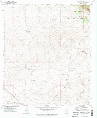
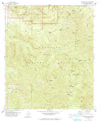
 1973 Happy Valley1976 Print · USGSThe Cochise County ranching frontier is captured here in the early 1970s as mountains and national forest land meet. Trace remote family holdings like Barney Ranch, find old water sources like Paige Well, and explore the high Eagle Peak terrain.2 unique versions available
 - 1973 Map of Galleta Flat West, 1976 Print
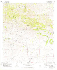
 1973 Galleta Flat West1976 Print · USGSThe high desert of southeastern Arizona comes alive in this mid-1970s survey of the Rincon foothills and the Pima-Cochise county line. Genealogists and desert explorers can locate remote sites like White Cross Cem, Mackenzie Ranch, and various prospects tucked into the canyons.2 unique versions available
 - 1973 Map of Saint David, 1976 Print
 1973 Saint David1976 Print · USGSThe San Pedro River valley in the early seventies shows a landscape shaped by irrigation and the Southern Pacific rail line. Researchers can trace the Saint David Ditch and locate the High Sch or the remote sidings of Fenner and Sibyl.2 unique versions available
 - 1973 Map of Knob Hill, 1976 Print
 1973 Knob Hill1976 Print · USGSCochise County during the early 1970s shows a landscape of high desert canyons and historic ruins along the edge of the Coronado National Forest. Researchers can trace the path of the Southern Pacific railroad past Tully or locate the Whitehouse Ruins and Council Rocks.2 unique versions available
 - 1973 Map of Apache Peak, 1976 Print
 1973 Apache Peak1976 Print · USGSThe high desert peaks of the Whetstone Mountains are captured here in the early 1970s. Researchers can trace a network of remote water sources and trails including Bootlegger Spring, Lobo Pass, and the specialized Radio Facility on the southern ridges.
 - 1974 Map of Dos Cabezas SW, 1976 Print
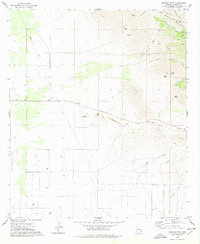
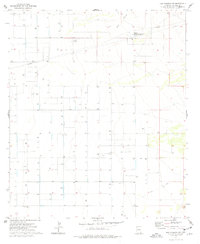 1974 Dos Cabezas SW1976 Print · USGSCochise County during the mid-seventies reveals a landscape defined by industrial utility and water management. Genealogists and researchers can trace the ranching and energy footprints at the Compressor Station, O B Draw, and through the numerous wells dotting the grid.
 - 1974 Map of Martin Well, 1977 Print
 1974 Martin Well1977 Print · USGSCrossing the Cochise and Graham County line in the mid-seventies, this survey maps the essential water infrastructure of the San Simon Valley. Researchers can trace remote desert outposts like Chaney Place, Rabbit Farm, and Martin Well.
 - 1974 Map of Bowie Mtn South, 1977 Print
 1974 Bowie Mtn South1977 Print · USGSSoutheast Arizona's high desert meets the Chiricahua foothills in the mid-seventies, showing a landscape of remote ranches and conservation land. Genealogists and historians can locate family landmarks like the Riggs Home Ranch, Riggs Cem, and the old El Dorado Sch.
 - 1974 Map of Pat Hills North, 1977 Print
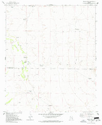
 1974 Pat Hills North1977 Print · USGSSoutheastern Arizona in the mid-1970s reveals a ranching landscape centered on the high ground of the Pat Hills. Genealogists and historians can trace local water infrastructure at Shaw Well 3 and Deep Well or locate the Creasey Ranch and various desert Prospects.
 - 1974 Map of Little Wood Canyon, 1977 Print
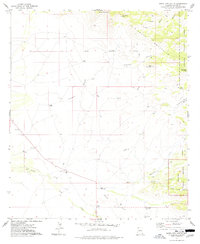
 1974 Little Wood Canyon1977 Print · USGSCochise County ranching and wilderness are documented here in the mid-1970s as the high desert meets the northern slopes of the mountains. Researchers can locate the Mulkins Ranch and trace the vital water system through labels like Little Wood Spring and the Cross J Windmill.
 - 1974 Map of Olga, 1977 Print
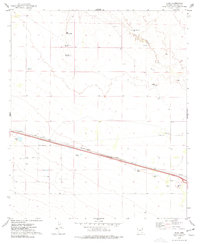 1974 Olga1977 Print · USGSCochise County ranching and rail transit are captured here in the mid-1970s as the high desert landscape met modern infrastructure. Genealogists and historians can trace family operations like Triangle Ranch and Garrett Ranch along the Southern Pacific line.
 - 1974 Map of Bowie, 1977 Print
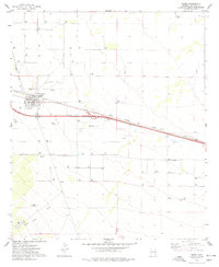 1974 Bowie1977 Print · USGSBowie and the surrounding Cochise County desert are captured here during the 1970s as a high-desert railroad and ranching hub. Genealogists and researchers can trace the town grid to find the High Sch, Desert Rest (Cem), and the Southern Pacific rail lines.
 - 1974 Map of Fife Peak, 1977 Print
 1974 Fife Peak1977 Print · USGSThe Chiricahua Mountains in the mid-1970s reveal a landscape of deep canyons and critical water sources within the Coronado National Forest. Trace the remote network of Jeep Trails and ranching infrastructure including Oak Ranch, Bumblebee Tank, and Fife Peak.
 - 1974 Map of Ryan Draw, 1977 Print
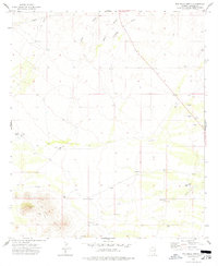
 1974 Ryan Draw1977 Print · USGSThe Graham and Cochise County line meets in this high-desert landscape during the mid-seventies, showing a remote world of ranching and water management. Researchers can trace the rugged Jeep Trails past Foote Ranch, Antelope Well, and numerous hillside Mine prospects.
 - 1978 Map of Rustler Park
 1978 Rustler Park1978 Print · USGSThe Chiricahua Mountains and Coronado National Forest are shown in the late 1970s, highlighting a landscape of deep canyons and mining history. Researchers can trace the legacy of high-altitude prospecting at the Silver Prince Mine or locate early forest management at Barfoot Lookout.2 unique versions available
 - 1978 Map of Dos Cabezas
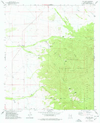
 1978 Dos Cabezas1978 Print · USGSCochise County mining and ranching life are detailed in this late 1970s survey of the Dos Cabezas Mountains. Genealogists and historians can trace the settlement of Dos Cabezas, locate remote operations like the Mascot Mine, or identify family sites such as Rancho Saratal.2 unique versions available
 - 1978 Map of Simmons Peak
 1978 Simmons Peak1978 Print · USGSThe Dos Cabezas Mountains in the late seventies reveal a desert landscape defined by essential water sources and mining history. Trace the routes of old Pack Trails to remote landmarks like Muskhog Spring, Silver Camp Divide, and Simmons Peak.
 - 1979 Map of Luzena
 1979 Luzena1979 Print · USGSCochise County during the late seventies shows the intersection of the Southern Pacific Railroad and the expanding highway system. Researchers can find historical markers like Graves, the Buckeye Mill (Site), and the remote Cowboy Swimming Hole.2 unique versions available
Showing maps 1-25 of 30
Top cities of Cochise County
- Sierra Vista historical maps
- Douglas historical maps
- Bisbee historical maps
- Benson historical maps
- Willcox historical maps
- Whetstone historical maps
See more
Frequently asked questions
- What are the different types of historical maps available for Cochise County?
- What is the oldest map of Cochise County?
- Where can I purchase historical maps of Cochise County for my home or office?
- Where can I download high-res historical maps of Cochise County?
- Are there historical topographic maps available for Cochise County?
- Is there historical aerial imagery available for Cochise County?
- Where are historical maps of Cochise County sourced from?