2010s Maps of Cochise County, Arizona
Explore 364 historic maps of Cochise County from the 2010s. These maps offer a rare glimpse into what life looked like during the 2010s — showing old roads, neighborhoods, homes, and landmarks that have changed or disappeared over time.
Whether you're researching your family's past, planning a metal detecting trip, or studying how Cochise County's landscape evolved across the 2010s, these high-resolution maps are a powerful tool for exploring the history of this region.
- Focus on a specific era: All maps on this page are from the 2010s, giving you a focused view of this time period.
- See what’s changed: Compare century-old streets, trails, and buildings to today's modern landscape using overlays and satellite layers.
- Research with precision: Use these maps for genealogy, historical research, land use analysis, or educational projects.
- View, download, or print: Maps are fully viewable online in high resolution, and can be downloaded or printed for your own records.
Start exploring Cochise County's history through authentic maps from the 2010s. This is your window into the past.
Cochise County, AZ maps
(364)- 2010 Map of Doubtful Canyon, 2010 Print
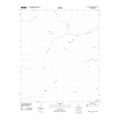 2010 Doubtful Canyon2010 Print · USGSThe Arizona-New Mexico borderlands remained a frontier of mining and ranching into the early twenty-first century. Genealogists and historians can trace family landholdings and mineral claims at Braidfoot Ranch, the Eloro Mine, and the Wheeler Place.
 - 2010 Map of Guadalupe Canyon, 2010 Print
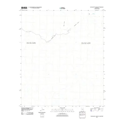 2010 Guadalupe Canyon2010 Print · USGSThe international border cuts across this high-desert landscape in the early twenty-first century, where water and routes are dictated by the terrain. Researchers can trace the winding Guadalupe Canyon Rd and locate the Spring of Contention near Hog Ranch.
 - 2010 Map of Engine Mountain, 2010 Print
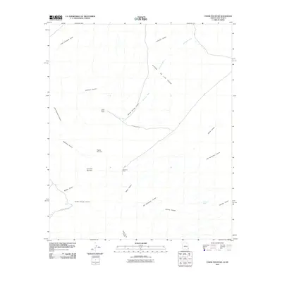 2010 Engine Mountain2010 Print · USGSCochise County ranching and high desert drainage are captured here during the first decade of the new millennium. Researchers can trace the remote roads leading to Willow Springs Ranch and Horseshoe Ranch or locate the vital waters of Indian Spring.
 - 2010 Map of San Simon Cienega, 2010 Print
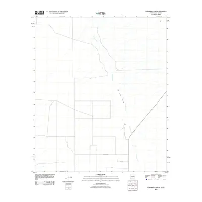 2010 San Simon Cienega2010 Print · USGSThe Cochise County borderlands come into focus in the early 2000s, centered on a vital riparian corridor in the high desert. Researchers can trace the local cattle and mining history through sites like Cienega Ranch and the Flourite Pits near the San Simon River.
 - 2010 Map of Vanar, 2010 Print
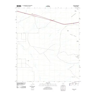 2010 Vanar2010 Print · USGSThe high desert and rocky peaks along the Arizona-New Mexico border are captured here during the first decade of the millennium. Mineral researchers and genealogists can trace mining claims like Mineral Mountain Mine and family landmarks such as Barnes Ranch.
 - 2011 Map of Land, 2011 Print
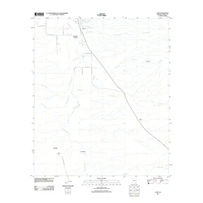 2011 Land2011 Print · USGSCochise County's desert valley comes into focus during the early twenty-first century, centered on the flow of the San Pedro River. Researchers can trace the footprints of old ranching outposts like Contention, locate the Saint David Cemetery, and map the deep desert washes.
 - 2011 Map of Tombstone SE, 2011 Print
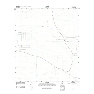 2011 Tombstone SE2011 Print · USGSCochise County ranchlands and rural subdivisions are documented here in the early twenty-first century. Genealogists and local historians can trace property boundaries near Keller Ranch or follow the path of Banning Creek past Sharpshooter Rd.
 - 2011 Map of Saint David, 2011 Print
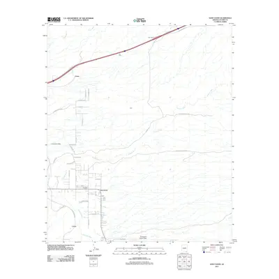 2011 Saint David2011 Print · USGSSoutheastern Arizona's high desert reveals its settlement patterns along the San Pedro River in the early twenty-first century. Researchers can trace the rural layout of Saint David and Curtiss or locate landmarks like the Saint David Post Office and Sibyl Interchange.
 - 2011 Map of Lewis Springs, 2011 Print
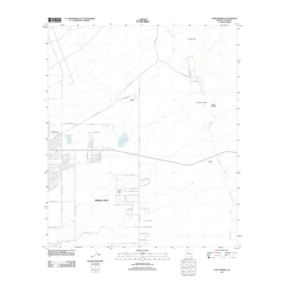 2011 Lewis Springs2011 Print · USGSThe growing desert city of Sierra Vista meets the rural ranchlands of the San Pedro Valley in this 2011 survey. Researchers can trace the legacy of local land use at San Pedro House and the Donnet-Fry Ranch or locate the University of Arizona South campus.
 - 2011 Map of Hereford, 2011 Print
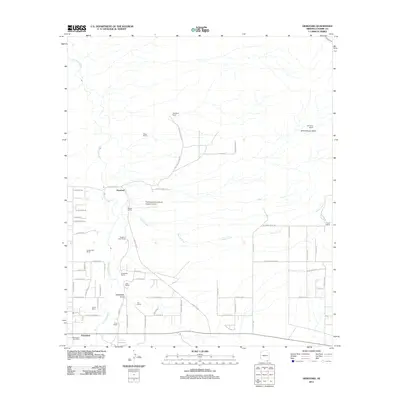 2011 Hereford2011 Print · USGSCochise County ranching culture and the San Pedro River valley are captured here in the early 2000s. Researchers can locate family-named land holdings like Dinwiddie Ranch and Wiek Ranch or trace the rural layout of Hereford and Palominas.
 - 2011 Map of Fort Huachuca, 2011 Print
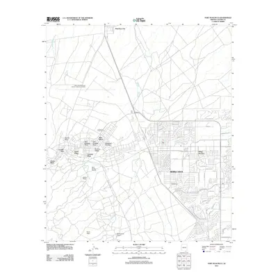 2011 Fort Huachuca2011 Print · USGSSierra Vista and the surrounding Cochise County high desert are shown here in the early twenty-first century as the city expanded around the military post. Researchers can trace the development of residential neighborhoods like Miles Manor and Apache Flats alongside the vast Libby Army Airfield.
 - 2011 Map of Bisbee NE, 2011 Print
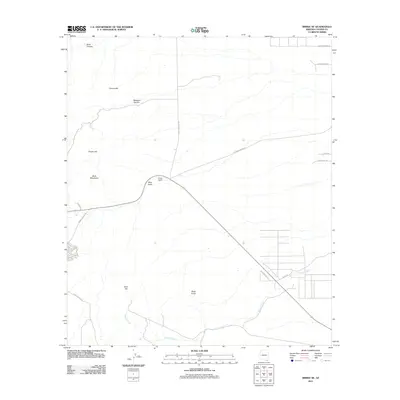 2011 Bisbee NE2011 Print · USGSCochise County’s high desert and mountain slopes are captured here in the early twenty-first century. Researchers can locate Forrest Ranch, trace the rugged Mule Mountains, and follow the drainages of Mule Gulch and Glance Creek.
 - 2011 Map of Million Dollar Tank, 2011 Print
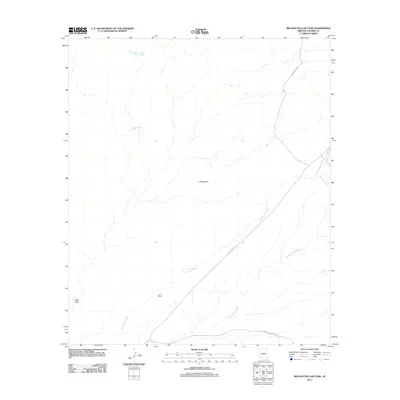 2011 Million Dollar Tank2011 Print · USGSCochise County ranching country is mapped here in the early twenty-first century, showing the critical water and trail networks of the high desert. Researchers can trace the reach of Lazy J Ranch and find remote landmarks like Million Dollar Tank and Wildcat Hill.
 - 2011 Map of Hay Mountain, 2011 Print
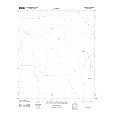 2011 Hay Mountain2011 Print · USGSCochise County ranching and desert homesteads are documented here during the early twenty-first century. Researchers can trace remote family landmarks and water sources like H O Davis Ranch, Gold Camp, and the Mesquite Windmill.
 - 2011 Map of West of Guadalupe Canyon, 2011 Print
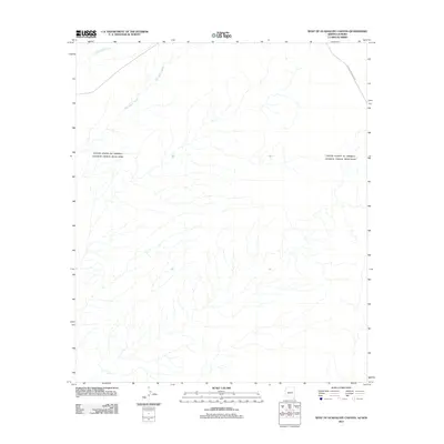 2011 West of Guadalupe Canyon2011 Print · USGSThe Arizona-Sonora borderlands come into focus in this early twenty-first-century survey of the remote desert landscape. Researchers can trace the path of Guadalupe Canyon Rd and seasonal watercourses like Cottonwood Creek and Hay Hollow Wash.
 - 2011 Map of Elfrida, 2011 Print
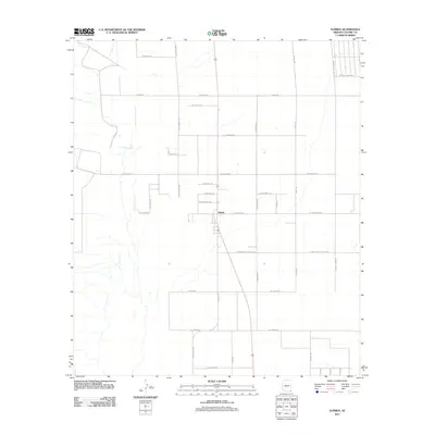 2011 Elfrida2011 Print · USGSThe rural community of Elfrida is centered within a detailed grid of desert roads and family-named thoroughfares in the early twenty-first century. Genealogists and local historians can trace land divisions and property access along W Whitewater School Rd, N Outlaw Trl, and N Rancho Del Sol Rd.
 - 2011 Map of College Peaks, 2011 Print
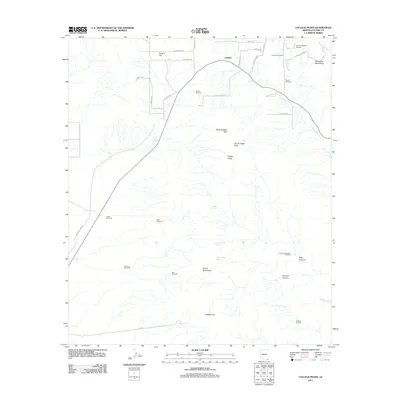 2011 College Peaks2011 Print · USGSCochise County ranching and rugged desert peaks define this modern era Arizona landscape. Genealogists and historians can trace family-named landmarks like Johnson Windmill and Gardner Windmill or locate remote sites like Circle H Ranch Airport and Poverty Flat.
 - 2011 Map of Squaretop Hills East, 2011 Print
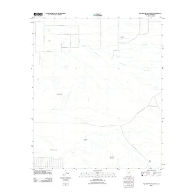 2011 Squaretop Hills East2011 Print · USGSCochise County ranching country is shown here in the early twenty-first century, spanning the desert flats and high ridges. Local historians can trace established homesteads such as Gears Ranch and Whitehead Ranch or locate the Ash Creek Airport.
 - 2011 Map of Douglas, 2011 Print
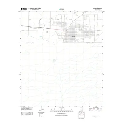 2011 Douglas2011 Print · USGSThe Arizona-Mexico border comes into focus in this early twenty-first-century survey of the Douglas area. Trace the legacy of copper mining at the Copper Queen Smelter or locate family roots at Calvary Cemetery and the neighboring settlement of Pirtleville.
 - 2011 Map of Douglas NE, 2011 Print
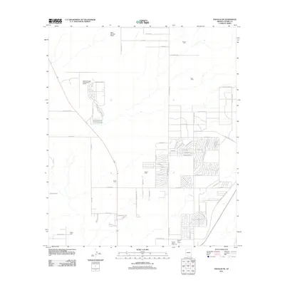 2011 Douglas NE2011 Print · USGSCochise County at the start of the 2010s reveals a unique landscape of high-desert ranching and modern aviation. Trace family holdings like Harris Ranch and Wells Ranch alongside the sprawling Bisbee-Douglas International Airport.
 - 2011 Map of Potter Mountain, 2011 Print
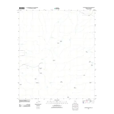 2011 Potter Mountain2011 Print · USGSCochise County's ranching landscape is captured here in the early twenty-first century, showing the vital infrastructure of the high desert. Researchers can locate remote water sources and landmarks like Sandy Bob Springs Windmill, Bull Spring, and Potter Mountain.
 - 2011 Map of Naco, 2011 Print
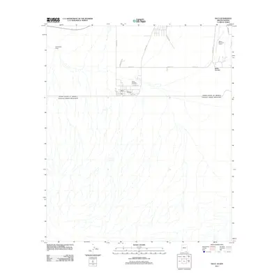 2011 Naco2011 Print · USGSThe Arizona-Mexico border at the start of the 2010s reveals a landscape of international transit and desert infrastructure. Researchers can trace the local grid of Naco, including the Naco Post Office, alongside rural sites like the Bisbee Municipal Golf Course.
 - 2011 Map of Bisbee SE, 2011 Print
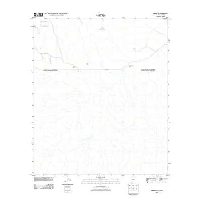 2011 Bisbee SE2011 Print · USGSThe Arizona-Sonora borderlands come into focus in this early twenty-first-century survey of the southern foothills. Researchers can trace the intersection of ranching and geography at Christiansen Ranch, the Crook Tunnel, and the drainage of Gold Gulch.
 - 2011 Map of Outlaw Mountain, 2011 Print
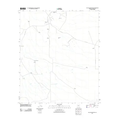 2011 Outlaw Mountain2011 Print · USGSCochise County’s ranching and mining heritage is visible here in the early twenty-first century, centered on the historic settlement of Gleeson. Researchers can trace old family ranching landmarks and water features like Harmon Ranch, Dead Mexican Canyon, and N Ghost Town Trl.
 - 2011 Map of Cinder Hill, 2011 Print
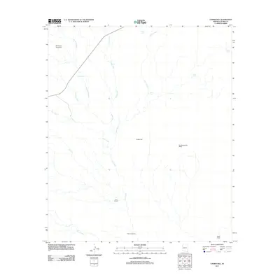 2011 Cinder Hill2011 Print · USGSCochise County ranching country and the high desert basin are captured here in the early twenty-first century. Researchers can trace historic water-management sites and landmarks like Weldy Windmill, Mormon Tank, and the Pedregosa Mountains.
Showing maps 1-25 of 364
Top cities of Cochise County
- Sierra Vista historical maps
- Douglas historical maps
- Bisbee historical maps
- Benson historical maps
- Willcox historical maps
- Whetstone historical maps
See more
Frequently asked questions
- What are the different types of historical maps available for Cochise County?
- What is the oldest map of Cochise County?
- Where can I purchase historical maps of Cochise County for my home or office?
- Where can I download high-res historical maps of Cochise County?
- Are there historical topographic maps available for Cochise County?
- Is there historical aerial imagery available for Cochise County?
- Where are historical maps of Cochise County sourced from?