1980s Maps of La Paz County, Arizona
Explore 17 historic maps of La Paz County from the 1980s. These maps offer a rare glimpse into what life looked like during the 1980s — showing old roads, neighborhoods, homes, and landmarks that have changed or disappeared over time.
Whether you're researching your family's past, planning a metal detecting trip, or studying how La Paz County's landscape evolved across the 1980s, these high-resolution maps are a powerful tool for exploring the history of this region.
- Focus on a specific era: All maps on this page are from the 1980s, giving you a focused view of this time period.
- See what’s changed: Compare century-old streets, trails, and buildings to today's modern landscape using overlays and satellite layers.
- Research with precision: Use these maps for genealogy, historical research, land use analysis, or educational projects.
- View, download, or print: Maps are fully viewable online in high resolution, and can be downloaded or printed for your own records.
Start exploring La Paz County's history through authentic maps from the 1980s. This is your window into the past.
La Paz County, AZ maps
(17)- 1981 Map of Needles, 1987 Print
 1981 Needles1987 Print · USGSThe High Desert and Colorado River valley are seen here in the early 1980s through the unique lens of satellite imagery. Trace the isolated outposts of the AT & SF railroad at Goffs and Essex, or explore the sprawling shores of Lake Havasu.
 - 1984 Map of Salome
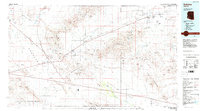 1984 Salome1984 Print · USGSWestern Arizona's desert valleys and mining districts are surveyed here during the mid-eighties, centered on the railroad corridor through the McMullen Valley. Researchers can trace the rail towns of Salome and Wenden or locate historical mineral sites like the Bonanza Mine and Hercules Mine.
 - 1985 Map of Parker
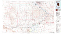 1985 Parker1985 Print · USGSThe Colorado River valley in the mid-eighties was a hub of desert transit, mining, and water management. Researchers can trace the path of the Atchison Topeka and Santa Fe railroad through Vidal Junction and locate numerous historic diggings like the Gold Hill Mine or Billy Mack Mine.2 unique versions available
 - 1986 Map of Red Hill SW
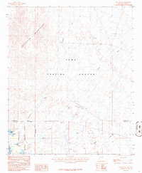 1986 Red Hill SW1986 Print · USGSIn the mid-1980s, the desert near the California border served as both a military testing site and a wildlife sanctuary. Researchers can trace the boundaries of the Yuma Proving Ground and locate river landmarks like Mc Allister Lake and the Observation Tower.
 - 1986 Map of Red Hill NE
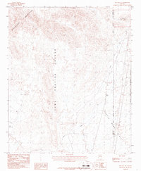 1986 Red Hill NE1986 Print · USGSIn the mid-1980s, the desert border between La Paz and Yuma counties remained a landscape of military testing and mining potential. Trace early mineral activity at the Mine Shaft or explore the vast Yuma Proving Ground and Indian Wash.
 - 1986 Map of Blythe
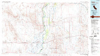 1986 Blythe1986 Print · USGSThe Colorado River valley at the California and Arizona border in the mid-1980s shows a landscape of intensive desert farming and remote mining. Trace the rail lines of the Atchison Topeka and Santa Fe or locate historical workings like the Arlington Mine and Victor Mine.3 unique versions available
 - 1986 Map of Trigo Mts
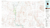 1986 Trigo Mts1986 Print · USGSThe Colorado River corridor is captured here in the mid-eighties as it winds between Arizona and California. Researchers can trace decades of desert enterprise through locations like Paymaster Mine, the Cibola National Wildlife Refuge, and Walters Camp.2 unique versions available
 - 1986 Map of Trigo Pass
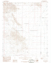 1986 Trigo Pass1986 Print · USGSThe Arizona desert within the Yuma Proving Ground was a restricted military landscape in the mid-1980s. Geologists and researchers can trace drainage through Ehrenberg Wash or find early mineral workings at a Mine Shaft and Prospect.
 - 1986 Map of Red Hill
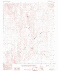 1986 Red Hill1986 Print · USGSThe arid terrain of the Chocolate Mountains is captured here during the mid-1980s within the military restricted zone. Researchers can trace the desert topography and dry creek beds like Yuma Wash and Mc Allister Wash near Red Hill.
 - 1986 Map of Tweed Mine
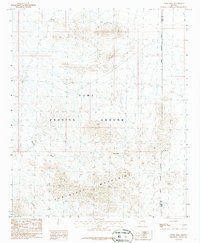 1986 Tweed Mine1986 Print · USGSThe desert of western Arizona appears in the mid-1980s as a landscape of military testing and historical mining. Researchers can trace the rugged territory of the Chocolate Mountains and find old extraction sites like Tweed Mine or a specific Mine Shaft.
 - 1986 Map of North Trigo Peaks
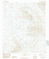 1986 North Trigo Peaks1986 Print · USGSThe high desert of La Paz County was a site of military testing and mineral exploration in the mid-1980s. Researchers can trace historic activity through numerous Prospect sites, the remote Mohave Tanks, and scattered Ruins near Trigo Wash.
 - 1986 Map of Mohave Peak
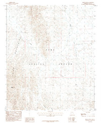 1986 Mohave Peak1986 Print · USGSThe Trigo Mountains and the Yuma Proving Ground define this desert landscape in the mid-1980s. Researchers can locate remote mining activity at several Prospect sites and trace the drainage of Mohave Wash and Gould Wash.
 - 1986 Map of Middle Mountains North
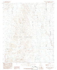 1986 Middle Mountains North1986 Print · USGSThe desert landscape of western Arizona in the mid-1980s is defined here by the rugged Middle Mountains and the sprawl of the Yuma Proving Ground. Researchers can trace the legacy of mineral exploration through several Prospects and Mine Shafts near the Castle Dome Plain.
 - 1988 Map of Little Horn Mountains
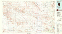 1988 Little Horn Mountains1988 Print · USGSArizona's western desert reaches are captured here in the late eighties, from the protected wilderness to sprawling military training grounds. Researchers can trace the desert hydrology of Hoodoo Wash and the rugged borders of Yuma Proving Ground or Painted Rocks State Park.2 unique versions available
 - 1989 Map of Socorro Peak, 1990 Print
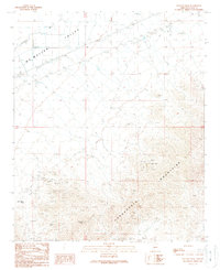 1989 Socorro Peak1990 Print · USGSThe mining landscape of La Paz County is captured here in the late eighties, where the rugged Harquahala Mountains meet the valley floor. Researchers can locate specific sites of historical industry like the San Marcos Mine, the White Marble Mine, and numerous mine shafts.
 - 1989 Map of Webber Canyon, 1990 Print
 1989 Webber Canyon1990 Print · USGSThe Harcuvar Mountains meet the Mc Mullen Valley in this late twentieth-century desert survey. Local history researchers can trace the reach of the Centennial Wash and locate specific sites like the Mine Shaft, Miller Reservoir, and Happy Camp Well.
 - 1989 Map of Gladden, 1990 Print
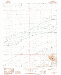 1989 Gladden1990 Print · USGSMaricopa County's western desert reaches reveal a landscape of ambitious irrigation and rugged peaks in the late 1980s. Researchers can trace the water history of Aguila Valley through its Abandoned Ditch networks and remote sites like Pollock Well and Dushey Tank.
End of results
Showing maps 1-17 of 17
Top cities of La Paz County
- Quartzsite historical maps
- Parker historical maps
- Salome historical maps
- Ehrenberg historical maps
- Bouse historical maps
- Bluewater historical maps
See more
Frequently asked questions
- What are the different types of historical maps available for La Paz County?
- What is the oldest map of La Paz County?
- Where can I purchase historical maps of La Paz County for my home or office?
- Where can I download high-res historical maps of La Paz County?
- Are there historical topographic maps available for La Paz County?
- Is there historical aerial imagery available for La Paz County?
- Where are historical maps of La Paz County sourced from?