2000s (21st Century) Maps of La Paz County, Arizona
Explore 391 historic maps of La Paz County from the 2000s (21st Century). These maps offer a rare glimpse into what life looked like during the 2000s — showing old roads, neighborhoods, homes, and landmarks that have changed or disappeared over time.
Whether you're researching your family's past, planning a metal detecting trip, or studying how La Paz County's landscape evolved across the 2000s, these high-resolution maps are a powerful tool for exploring the history of this region.
- Focus on a specific era: All maps on this page are from the 2000s, giving you a focused view of this time period.
- See what’s changed: Compare century-old streets, trails, and buildings to today's modern landscape using overlays and satellite layers.
- Research with precision: Use these maps for genealogy, historical research, land use analysis, or educational projects.
- View, download, or print: Maps are fully viewable online in high resolution, and can be downloaded or printed for your own records.
Start exploring La Paz County's history through authentic maps from the 2000s. This is your window into the past.
La Paz County, AZ maps
(391)- 2011 Map of Alamo Dam SE, 2011 Print
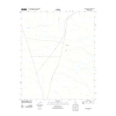 2011 Alamo Dam SE2011 Print · USGSLa Paz County at the start of the 2010s reveals a desert landscape where cattle ranching and modern access roads meet. Genealogists and local historians can locate the Conley Ranch and trace its relation to geographic landmarks like Black Butte and the remote Dripping Spring.
 - 2011 Map of E C P Peak, 2011 Print
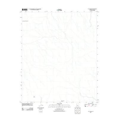 2011 E C P Peak2011 Print · USGSLa Paz County’s desert landscape is documented in the early twenty-first century, showing the intersection of mountain ranges and deep canyons. Researchers can trace the drainage patterns around E C P Peak and the southern reaches of the Little Buckskin Mountains.
 - 2011 Map of Centennial Wash, 2011 Print
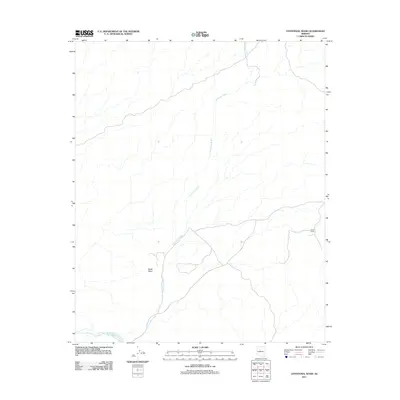 2011 Centennial Wash2011 Print · USGSThe Mohave County desert landscape is captured here in the early twenty-first century, showing the intersection of vital watercourses and arid terrain. Researchers can trace the winding course of Centennial Wash and locate the remote Fisher Camp near Black Mesa.
 - 2011 Map of Arrastra Mountain SE, 2011 Print
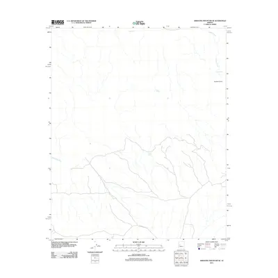 2011 Arrastra Mountain SE2011 Print · USGSYavapai County's desert interior is mapped here in the early twenty-first century, showing the rugged drainage of the Santa Maria River. Trace the remote terrain of Peoples Canyon and locate essential water sources like Catclaw Tank and Sams Spring.
 - 2011 Map of Smith Peak NW, 2011 Print
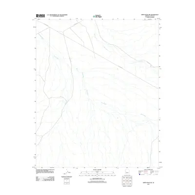 2011 Smith Peak NW2011 Print · USGSIn the early twenty-first century, this arid corner of the Arizona desert remained defined by its wide sandy drainages and isolated road networks. Researchers can trace the intersections of Palmerita Rd and Wickenburg Rd as they cut through Bullard Wash.
 - 2011 Map of Alamo Dam, 2011 Print
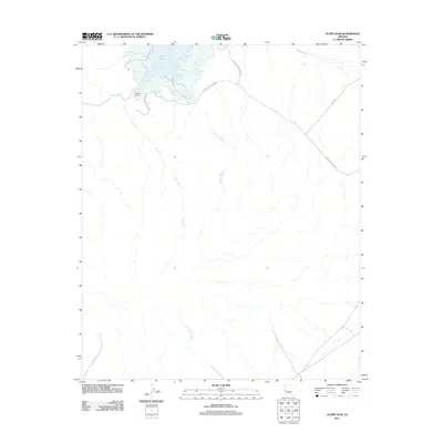 2011 Alamo Dam2011 Print · USGSArizona's high desert landscape comes into focus in this early twenty-first-century survey of Mohave County. Researchers can trace the intersection of water and infrastructure at Alamo Dam, the shores of Alamo Lake, and the winding path of Ives Wash.
 - 2011 Map of Smith Peak NE, 2011 Print
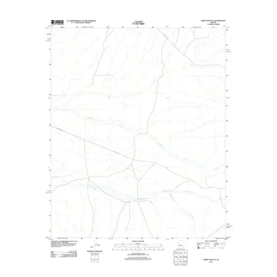 2011 Smith Peak NE2011 Print · USGSYavapai County's high desert landscape is captured here in the early twenty-first century, highlighting the area's essential water drainage systems. Researchers can trace the paths of Date Creek and Bullard Wash alongside remote transit routes like Alamo Rd.
 - 2011 Map of Artillery Peak, 2011 Print
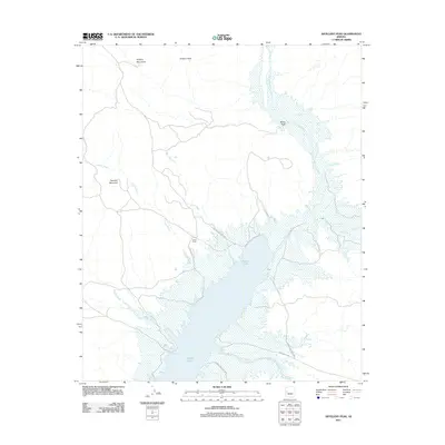 2011 Artillery Peak2011 Print · USGSThe desert landscape of western Arizona is captured here in the early twenty-first century, centered on the waters of Alamo Lake. Researchers can trace the drainages of Chapin Wash and Burro Wash or locate the site of Loves Camp near the reservoir.
 - 2011 Map of Palmerita Ranch, 2011 Print
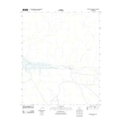 2011 Palmerita Ranch2011 Print · USGSThe Santa Maria River corridor in Mohave County is captured here in the early twenty-first century. Researchers can trace the desert road network and water sources essential to the area, including Palmerita Ranch, Grapevine Springs, and Date Creek.
 - 2011 Map of Swansea, 2011 Print
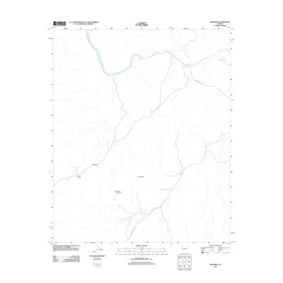 2011 Swansea2011 Print · USGSArizona's copper-mining history and desert ranching culture are visible in this early twenty-first-century survey of La Paz County. Trace the remote routes to Swansea and explore geological landmarks like Miners Arch, Clara Peak, and the Bill Williams River.
 - 2011 Map of Butler Pass, 2011 Print
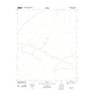 2011 Butler Pass2011 Print · USGSLa Paz County, Arizona, is depicted in the early twenty-first century, showcasing a desert landscape centered on topographic landmarks and remote infrastructure. Researchers can trace the path of Lincoln Ranch Rd toward Butler Pass or locate the prominence of Battleship Peak.
 - 2011 Map of Planet, 2011 Print
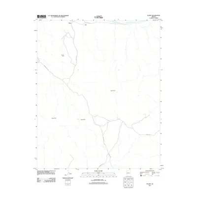 2011 Planet2011 Print · USGSThe Bill Williams River valley in western Arizona comes into focus during the early twenty-first century. Genealogists and local historians can trace the roads and landmarks of the Planet Ranch or locate the distinctive Retort Oven and Planet Peak.
 - 2011 Map of Powerline Well, 2011 Print
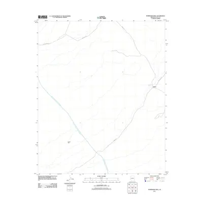 2011 Powerline Well2011 Print · USGSLa Paz County's desert interior is documented here in the early twenty-first century, showing a landscape defined by water infrastructure and mining history. You can trace the path of the Central Arizona Project Aqueduct and locate remote outposts like Midway and Powerline Well.
 - 2011 Map of Reid Valley, 2011 Print
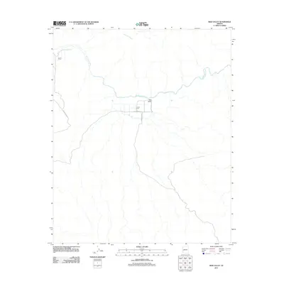 2011 Reid Valley2011 Print · USGSArizona ranching country remains the focus here in the early 2000s, where desert watercourses define the layout of local homesteads. Researchers can trace the road networks connecting Rankin Ranch, Lincoln Ranch, and the path of Bernard Mine Rd.
 - 2011 Map of Smith Peak, 2011 Print
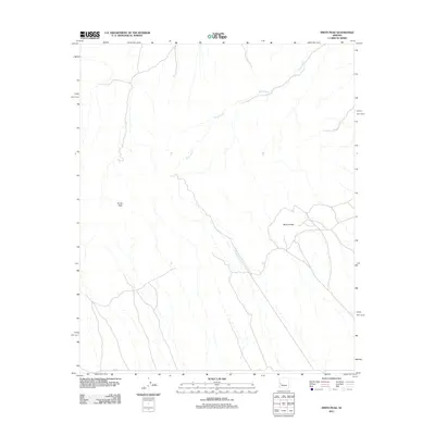 2011 Smith Peak2011 Print · USGSMaricopa County's arid high-desert terrain is captured here in the early twenty-first century, showcasing a landscape of high summits and seasonal drainages. Researchers can trace the path of Miller Wash and locate the prominent heights of Smith Peak and Bullard Peak.
 - 2011 Map of Little Horn Mountains NE, 2011 Print
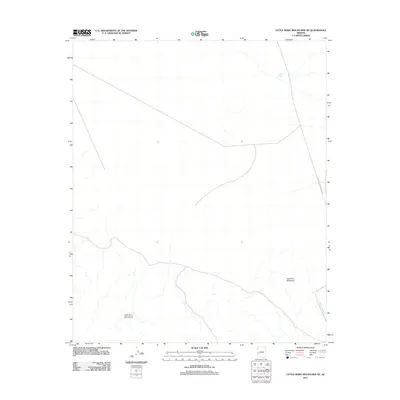 2011 Little Horn Mountains NE2011 Print · USGSLa Paz County, Arizona, is depicted here in the early twenty-first century as a landscape of desert peaks and wide washes. Researchers can trace the path of Palomas Harquahala Rd past Deadman Mountain and locate isolated water features like Talon Tank.
 - 2011 Map of Hope SE, 2011 Print
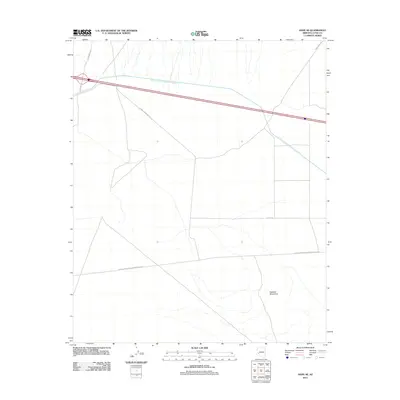 2011 Hope SE2011 Print · USGSLa Paz County's desert landscape in the early 2010s shows a region defined by industrial utility and infrastructure. Researchers can trace the massive Central Arizona Project Aqueduct and specialized routes like El Paso Natural Gas Company Ac Rd.
 - 2011 Map of Weldon Hill, 2011 Print
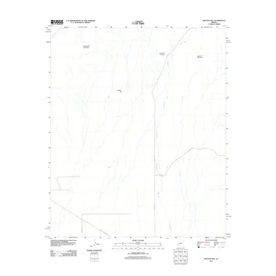 2011 Weldon Hill2011 Print · USGSMaricopa County's arid interior is documented here in the early 21st century, showing a landscape of wide washes and significant peaks. Researchers can trace the path of Tiger Wash and locate remote features like Weldon Hill or the basin of Desert Tank.
 - 2011 Map of Cunningham Pass, 2011 Print
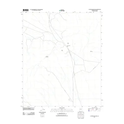 2011 Cunningham Pass2011 Print · USGSThe Harcuvar Mountains dominate this Arizona desert landscape in the early twenty-first century. Researchers can trace remote routes like Alamo Dam Rd through Cunningham Pass or locate the lonely Winchester Reservoir.
 - 2011 Map of Bouse Hills West, 2011 Print
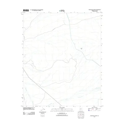 2011 Bouse Hills West2011 Print · USGSLa Paz County's arid basin and range topography is captured here just after the first decade of the millennium. Trace the intersection of massive water infrastructure like the Central Arizona Project Aqueduct with traditional desert routes such as Stagecoach Rd and Swansea Rd.
 - 2011 Map of Owl Head, 2011 Print
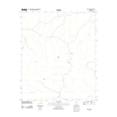 2011 Owl Head2011 Print · USGSLa Paz County's desert mining and mountain terrain are documented here during the early 2010s. Researchers can locate remote water sources and historical sites such as Old Alamo Mine Camp, Holly Seep, and the distinctive Owl Head landmark.
 - 2011 Map of Eagletail Mountains East, 2011 Print
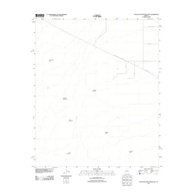 2011 Eagletail Mountains East2011 Print · USGSMaricopa County's desert frontier is shown in the early twenty-first century, where the rising peaks of the range meet emerging infrastructure. Relatives and researchers can trace the reach of the El Paso Pipeline near landmarks like Courthouse Rock and Eagletail Arch.
 - 2011 Map of Lone Mountain, 2011 Print
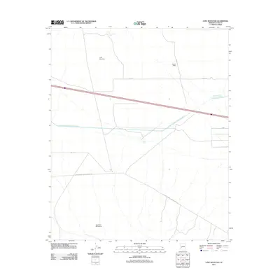 2011 Lone Mountain2011 Print · USGSLa Paz County in the early twenty-first century reveals a desert landscape shaped by major infrastructure and isolated water sources. Researchers can trace the path of the Central Arizona Project Aqueduct and locate landmarks like Lone Mountain and the El Paso Natural Gas Company Ac Rd.
 - 2011 Map of Courthouse Well, 2011 Print
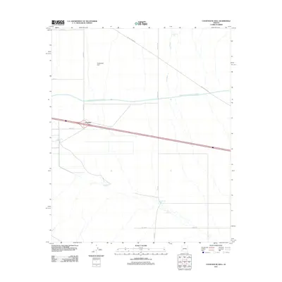 2011 Courthouse Well2011 Print · USGSCentennial and the surrounding desert plains are shown here in the early twenty-first century as modern infrastructure meets traditional desert transit. Researchers can trace the massive Central Arizona Project Aqueduct and locate essential water points like Courthouse Well and Eagletail Tank.
 - 2011 Map of New Water Well, 2011 Print
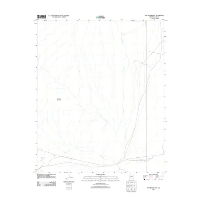 2011 New Water Well2011 Print · USGSLa Paz County in the early twenty-first century reveals a desert landscape defined by the drainage of Alamo Wash. Researchers can trace utility and transit corridors like the El Paso Natural Gas Company Ac Rd near the New Water Well settlement.
Showing maps 1-25 of 391
Top cities of La Paz County
- Quartzsite historical maps
- Parker historical maps
- Salome historical maps
- Ehrenberg historical maps
- Bouse historical maps
- Bluewater historical maps
See more
Frequently asked questions
- What are the different types of historical maps available for La Paz County?
- What is the oldest map of La Paz County?
- Where can I purchase historical maps of La Paz County for my home or office?
- Where can I download high-res historical maps of La Paz County?
- Are there historical topographic maps available for La Paz County?
- Is there historical aerial imagery available for La Paz County?
- Where are historical maps of La Paz County sourced from?