1990s Maps of La Paz County, Arizona
Explore 52 historic maps of La Paz County from the 1990s. These maps offer a rare glimpse into what life looked like during the 1990s — showing old roads, neighborhoods, homes, and landmarks that have changed or disappeared over time.
Whether you're researching your family's past, planning a metal detecting trip, or studying how La Paz County's landscape evolved across the 1990s, these high-resolution maps are a powerful tool for exploring the history of this region.
- Focus on a specific era: All maps on this page are from the 1990s, giving you a focused view of this time period.
- See what’s changed: Compare century-old streets, trails, and buildings to today's modern landscape using overlays and satellite layers.
- Research with precision: Use these maps for genealogy, historical research, land use analysis, or educational projects.
- View, download, or print: Maps are fully viewable online in high resolution, and can be downloaded or printed for your own records.
Start exploring La Paz County's history through authentic maps from the 1990s. This is your window into the past.
La Paz County, AZ maps
(52)- 1990 Map of Socorro Mine
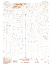 1990 Socorro Mine1990 Print · USGSLa Paz County mining and water management are the focus of this late-century desert study. Trace the extensive workings of the Socorro Mine or the complex system of Check Dams and the Road On Levee across the Harquahala Plain.
 - 1990 Map of Quartzsite
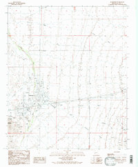 1990 Quartzsite1990 Print · USGSQuartzsite was evolving as a desert destination during the early nineties, centered around its unique local landmarks and desert washes. Local historians and researchers can locate the Hi Jolly Cem, trace early mining at Granite Mountain, and see the layout of the Landing Strip.
 - 1990 Map of Eagletail Mountains East
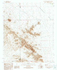 1990 Eagletail Mountains East1990 Print · USGSThe desert landscape of western Arizona is captured here as the nineties began, centered on the high ridges of the Eagletail Mountains. Local historians and explorers can trace old mining efforts at Frenchman Mine or locate geological landmarks like Courthouse Rock and the Natural Arch.
 - 1990 Map of Livingston Hills
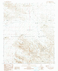 1990 Livingston Hills1990 Print · USGSIn the high desert at the turn of the 1990s, the border between La Paz and Yuma counties reveals a rugged landscape of mining and wildlife conservation. Trace the locations of the Livingston Mine, isolated desert water sources like Budweiser Spring, and landmarks such as Lonesome Peak.
 - 1990 Map of Artillery Peak
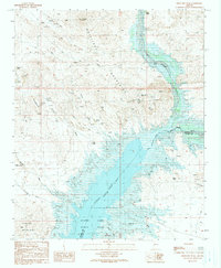 1990 Artillery Peak1990 Print · USGSWest-central Arizona in the 1990s shows a landscape of desert mining and water management centered on the Bill Williams River. You can trace early mineral strikes at the Black Diamond Mine and Priceless Mine or locate the outpost at Loves Camp.
 - 1990 Map of Livingston Hills NW
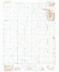 1990 Livingston Hills NW1990 Print · USGSThe Arizona desert at the turn of the 1990s reveals a landscape of conservation and utility between La Paz and Yuma counties. Map collectors and researchers can trace the rugged Livingston Hills and find specific landmarks like Palm Canyon Road and the Guzzler.
 - 1990 Map of Alamo Dam
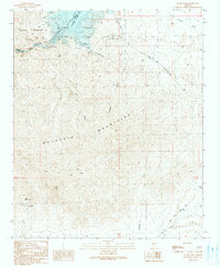 1990 Alamo Dam1990 Print · USGSWestern Arizona’s desert landscape is captured here in the late twentieth century as it transitions from a mining frontier to a recreational hub. Researchers can trace land use through a mine shaft and several prospects near the shoreline of Alamo Lake.
 - 1990 Map of Cholla Tank
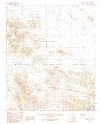 1990 Cholla Tank1990 Print · USGSThe arid borderlands of La Paz and Yuma counties are captured in the 1990s as a landscape of protected wilderness and mineral potential. Researchers can trace historic desert routes including the Kofa Manganese Road, Red Rock Pass, and various Prospects.
 - 1990 Map of Cunningham Pass
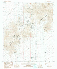 1990 Cunningham Pass1990 Print · USGSThe Harcuvar Mountains serve as a high-altitude mining hub in this 1990s desert survey of La Paz County. Trace early industrial history through the Inclined Railway and named claims like the Little Giant Mine and Bonanza Mine.
 - 1990 Map of Weldon Hill
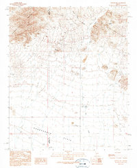 1990 Weldon Hill1990 Print · USGSThe Arizona high desert at the turn of the 1990s reveals a landscape defined by mountain ranges and early mining history. Genealogists and historians can locate remote desert landmarks like the Showball Mine, Lions Den Mine, and the namesake Weldon Hill.
 - 1990 Map of Butler Well
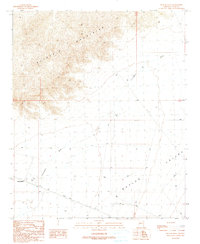 1990 Butler Well1990 Print · USGSIn the arid reaches of La Paz County during the 1990s, this desert landscape captures the intersection of natural barriers and human history. Researchers can identify the site of Camp Bouse and trace water routes through the Butler Valley via Cunningham Wash and Butler Well.
 - 1990 Map of East of Utting
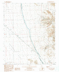 1990 East of Utting1990 Print · USGSArizona's desert landscape in the 1990s is defined here by the intersection of industrial mining and massive water infrastructure. Researchers can trace the Hayden-Rhodes Aqueduct past the Landing Strip or explore the cluster of Prospects and Adits near McVay.
 - 1990 Map of Bouse NW
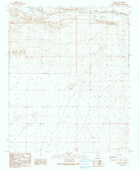 1990 Bouse NW1990 Print · USGSThe arid desert of La Paz County is captured here in the early nineties, revealing a landscape shaped by natural drainage and utility infrastructure. Researchers can trace the path of Bouse Wash and locate specific markers like the Substations and Water Tank.
 - 1990 Map of New Water Mountains
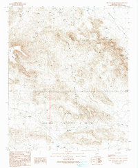 1990 New Water Mountains1990 Print · USGSLa Paz County mining and desert landscape in the 1990s. Trace old mining operations at the Eagle Eye Mine and Hidden Mine, or locate natural landmarks like The Eagles Eye and Gunsight Notch within the Kofa National Wildlife Refuge.
 - 1990 Map of Centennial Wash
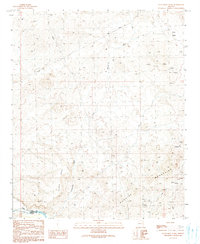 1990 Centennial Wash1990 Print · USGSThe desert frontier of Mohave County is captured here in the late twentieth century, where the Rawhide Mountains meet the Bill Williams River. Genealogists and historians can locate remote outposts like Fisher Camp or trace mining activity through several prospects and an old Mine Shaft.
 - 1990 Map of Lone Mountain
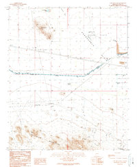 1990 Lone Mountain1990 Print · USGSThe arid basins and high ridges of La Paz County come into focus during the 1990s as modern water infrastructure meets traditional desert landmarks. Researchers can trace remote desert features like the Natural Arch and Government Well or locate industrial sites such as Open Pit Mines and the Granite Reef Aqueduct.
 - 1990 Map of Butler Pass
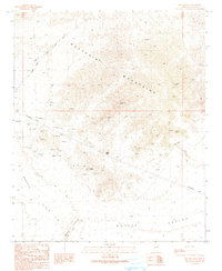 1990 Butler Pass1990 Print · USGSArizona's desert interior in the late twentieth century reveals a landscape of mining exploration and old transit routes. You can trace the Old Railroad Grade and locate scattered prospects near landmarks like Battleship Peak and Butler Pass.
 - 1990 Map of Harquahala Mountain
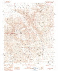 1990 Harquahala Mountain1990 Print · USGSHarquahala Mountain and the surrounding desert peaks are shown here in the 1990s as a hub of mining activity. Researchers can locate the Monterey Mine Prospect, the Sunshine Mine, and numerous workings near Arrastre Gulch.
 - 1990 Map of Bouse Hills East
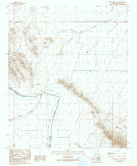 1990 Bouse Hills East1990 Print · USGSThe high desert landscape of La Paz County is captured here in the early nineties, dominated by the massive Hayden-Rhodes Aqueduct. Researchers can trace the engineering of the era through the Tunnel and Road on Levee or locate remote Mine Shafts near the Granite Wash Mountains.
 - 1990 Map of Harcuvar Peak
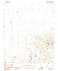 1990 Harcuvar Peak1990 Print · USGSThe high desert of La Paz County is documented in the late twentieth century, showing a landscape shaped by remote mining and arid-land ranching. Researchers can locate named sites like Dolan Mine and Sheba Mine, or trace the path through Cottonwood Pass.
 - 1990 Map of Salome
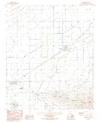 1990 Salome1990 Print · USGSThe desert settlements of Salome and Wenden sit at the edge of the Mc Mullen Valley in the early nineties. Researchers can trace the local mining history through the Hercules Mine, find the Cem, or locate the Bicentennial Union High Sch.
 - 1990 Map of Bouse Hills West
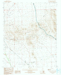 1990 Bouse Hills West1990 Print · USGSThe desert landscape of La Paz County was characterized by mineral exploration and modern water engineering in the early nineties. Researchers can trace historic industrial sites like the Barber Gene Mine, the Retort Oven, and an Old Railroad Grade.
 - 1990 Map of Swansea
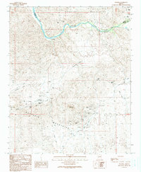 1990 Swansea1990 Print · USGSThe mining district at Swansea is documented here during the late twentieth century, showing the settlement's footprint between the mountains. Trace the Swansea Old RR Grade, the local Cem, and dozens of prospects.
 - 1990 Map of Utting
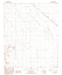 1990 Utting1990 Print · USGSThe Ranegras Plain in the early 1990s shows a desert landscape of remote wells and water management systems. Genealogists and historians can trace isolated landmarks like Haynes Farm, the settlement of Utting, and a lonely + Grave near the mountains.
 - 1990 Map of Vicksburg
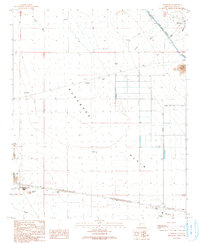 1990 Vicksburg1990 Print · USGSVicksburg and the surrounding Ranegras Plain are documented here in the early nineties as the region balanced its mining roots with massive water infrastructure projects. Researchers can locate the town Cemetery, several Open Pit Mines, and the path of the Hayden-Rhodes Aqueduct.
Showing maps 1-25 of 52
Top cities of La Paz County
- Quartzsite historical maps
- Parker historical maps
- Salome historical maps
- Ehrenberg historical maps
- Bouse historical maps
- Bluewater historical maps
See more
Frequently asked questions
- What are the different types of historical maps available for La Paz County?
- What is the oldest map of La Paz County?
- Where can I purchase historical maps of La Paz County for my home or office?
- Where can I download high-res historical maps of La Paz County?
- Are there historical topographic maps available for La Paz County?
- Is there historical aerial imagery available for La Paz County?
- Where are historical maps of La Paz County sourced from?