2020s Maps of Schuk Toak District, Arizona
Explore 24 historic maps of Schuk Toak District from the 2020s. These maps offer a rare glimpse into what life looked like during the 2020s — showing old roads, neighborhoods, homes, and landmarks that have changed or disappeared over time.
Whether you're researching your family's past, planning a metal detecting trip, or studying how Schuk Toak District's landscape evolved across the 2020s, these high-resolution maps are a powerful tool for exploring the history of this region.
- Focus on a specific era: All maps on this page are from the 2020s, giving you a focused view of this time period.
- See what’s changed: Compare century-old streets, trails, and buildings to today's modern landscape using overlays and satellite layers.
- Research with precision: Use these maps for genealogy, historical research, land use analysis, or educational projects.
- View, download, or print: Maps are fully viewable online in high resolution, and can be downloaded or printed for your own records.
Start exploring Schuk Toak District's history through authentic maps from the 2020s. This is your window into the past.
Schuk Toak District, AZ maps
(24)- 2021 Map of San Juan Spring, 2021 Print
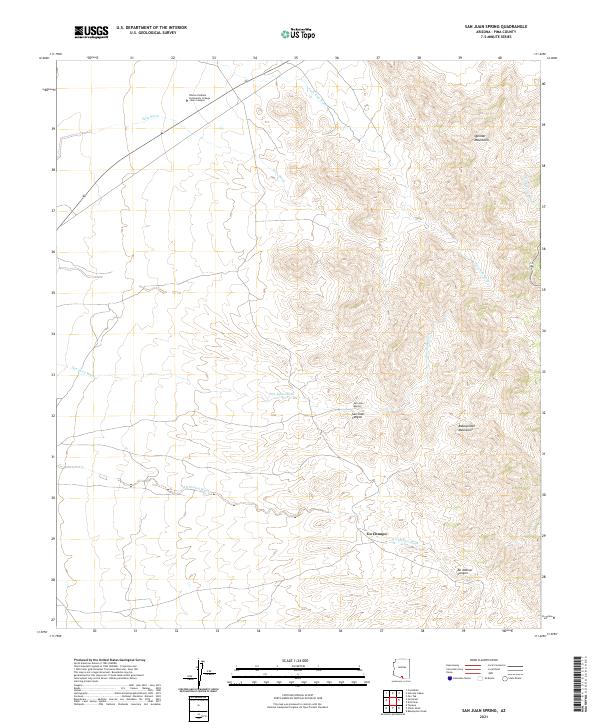 2021 San Juan Spring2021 Print · USGSArid basin and range topography characterizes this Pima County region in the early 2020s, where educational centers meet traditional lands. Researchers can trace the seasonal flow of Ali Molina Wash past Gu Chuapo or locate the Tohono Oodham Community College Main Campus near the Quinlan Mountains.
 - 2021 Map of Kitt Peak, 2021 Print
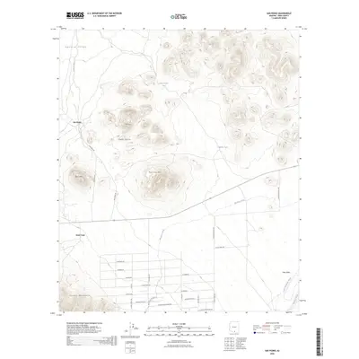
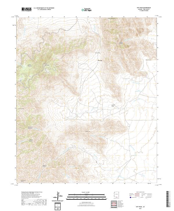 2021 Kitt Peak2021 Print · USGSArizona's Sonoran highlands come into focus in this recent survey of the Tohono O'odham landscape. Researchers can trace intricate desert drainages and vital water points like Santa Margarita Tank and Mercy Tank while navigating the slopes of Kitt Peak and the Coyote Mountains.
 - 2021 Map of Sells East, 2021 Print
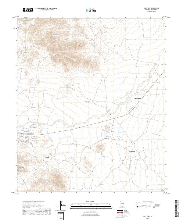 2021 Sells East2021 Print · USGSThe Tohono O'odham Nation territory comes into focus here in the early twenty-first century, showing the desert valley floor between the South Comobabi Mountains and Artesa Mountains. Trace local settlements and educational sites like Ali Chukson and the Tohono Oodham Community College Central Campus.
 - 2021 Map of Cocoraque Butte, 2021 Print
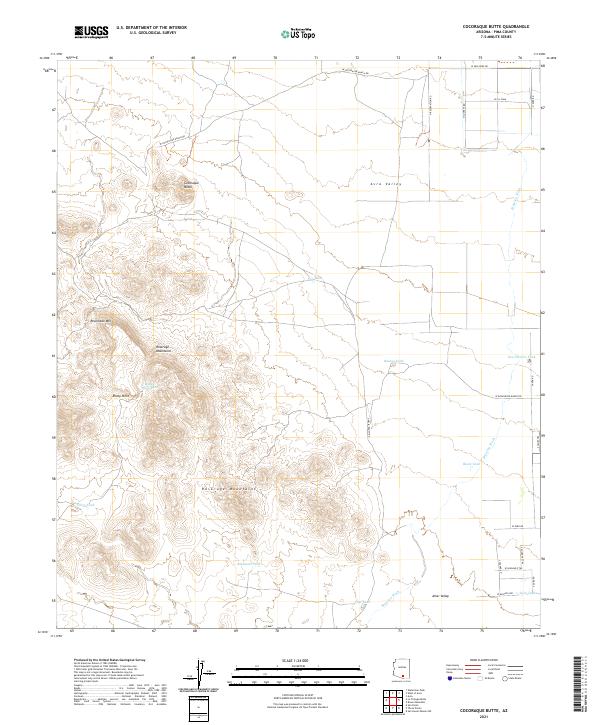 2021 Cocoraque Butte2021 Print · USGSThe Pima County desert landscape comes into sharp focus in the early twenty-first century as ranching infrastructure meets the arid peaks of the Roskruge Mountains. Researchers can trace the water-management history of the Avra Valley through features like Cocoraque Butte, Brawley Wash, and numerous stock tanks.
 - 2021 Map of Gap Tank, 2021 Print
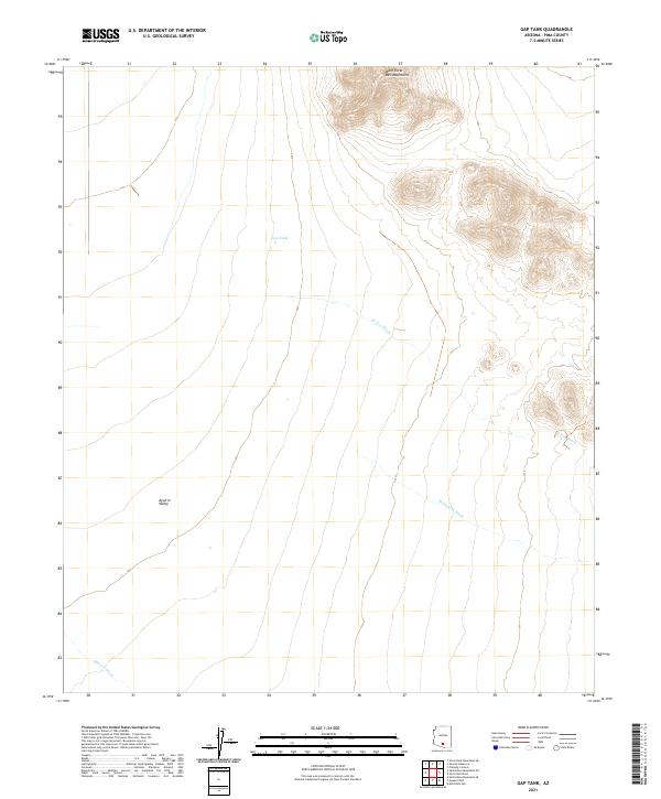 2021 Gap Tank2021 Print · USGSThe West Silver Bell Mountains overlook the arid Aguirre Valley in this early twenty-first-century survey of Pima County. Researchers can trace the desert drainage of El Tiro Wash and locate the remote water source at Gap Tank.
 - 2021 Map of San Pedro, 2021 Print
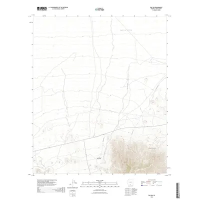
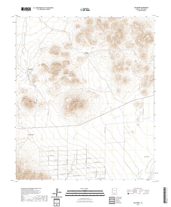 2021 San Pedro2021 Print · USGSIn the Altar Valley west of Tucson, this recent survey documents the ranching roads and desert peaks that define the region. Genealogists and historians can trace the footprint of San Pedro and Nawt Vaya near the Roskruge Mountains and Martina Mtn.
 - 2021 Map of San Ignacio Ranch, 2021 Print
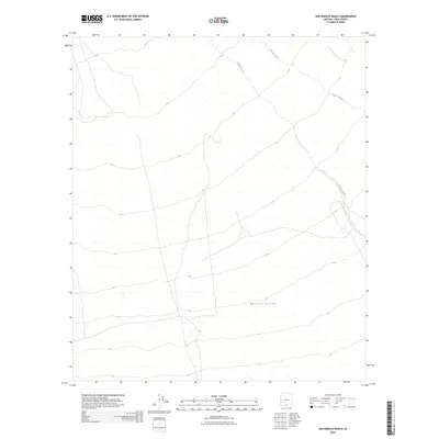
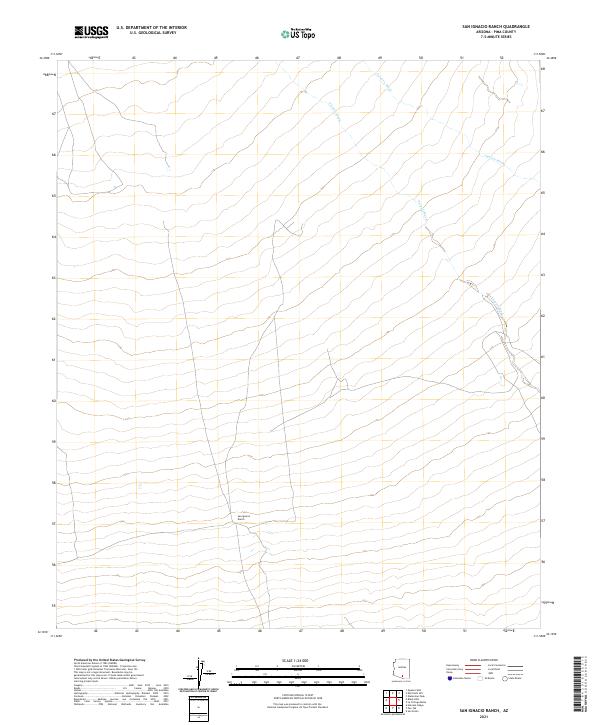 2021 San Ignacio Ranch2021 Print · USGSArid Pima County ranchlands are documented here in the early twenty-first century, showing a landscape shaped by desert hydrology. Researchers can locate the San Ignacio Ranch and trace the meandering courses of Aguirre Wash and Viopuli Wash.
 - 2021 Map of Haivana Nakya, 2021 Print
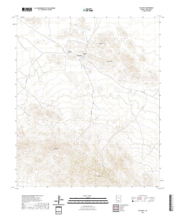
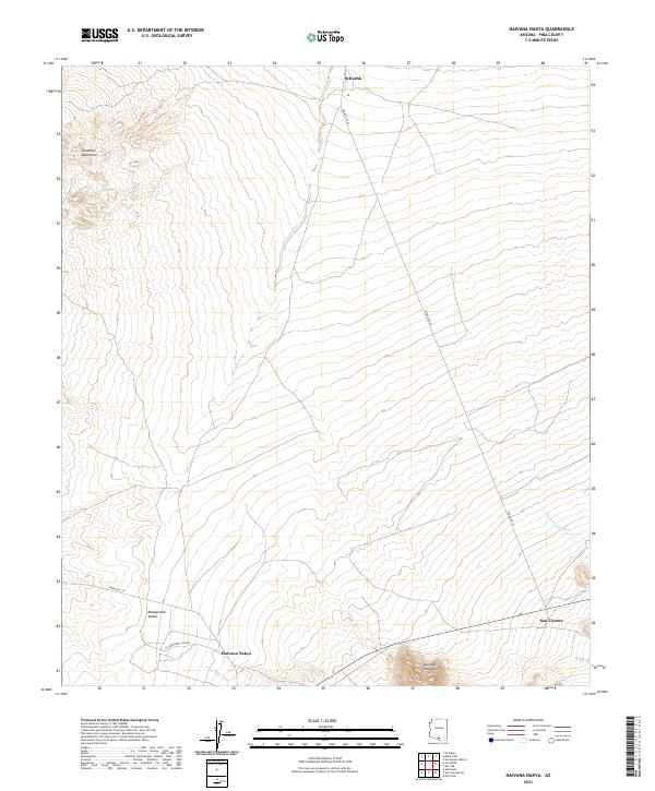 2021 Haivana Nakya2021 Print · USGSBaboquivari Valley in Pima County is shown in this recent survey, capturing the network of desert washes and remote settlements. Researchers can trace the routes between Haivana Nakya, Schuchk, and San Vicente along with landmarks like the Quinlan Mountains.
 - 2021 Map of Queens Well, 2021 Print
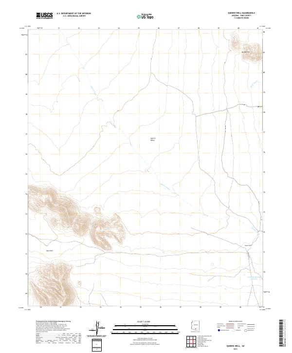 2021 Queens Well2021 Print · USGSArizona's desert basins and isolated peaks come into focus in this recent survey of the Pima County backcountry. Genealogists and desert historians can trace routes along Indian Rte 35 to the settlement of Queens Well and the Vaca Hills.
 - 2021 Map of Santa Rosa Mountains SW, 2021 Print
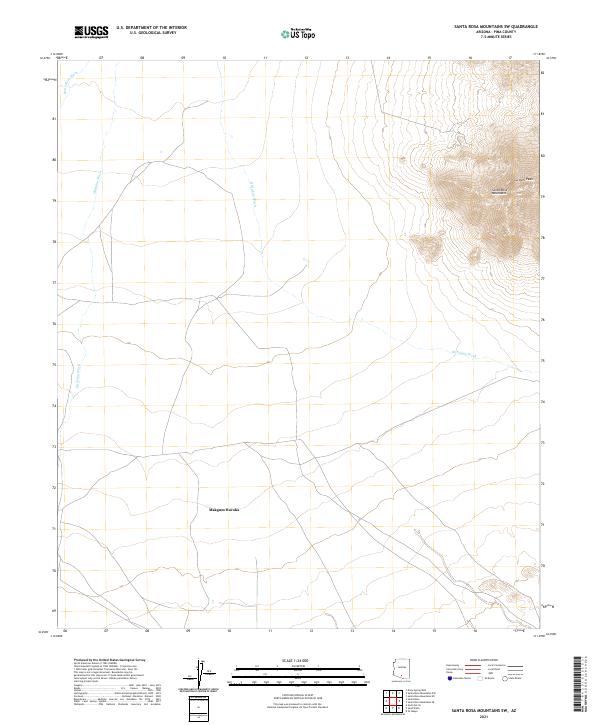 2021 Santa Rosa Mountains SW2021 Print · USGSPima County's high desert landscape is captured here in the early twenty-first century, dominated by the peaks of the Tohono O'odham Nation. Researchers can trace the drainage of Santa Rosa Wash and locate the settlement at Makgum Havoka near Gu Achi Peak.
 - 2021 Map of Santa Rosa Mountains SE, 2021 Print
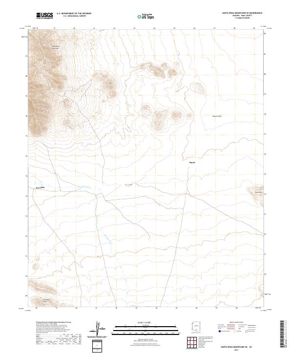 2021 Santa Rosa Mountains SE2021 Print · USGSThe Pima County desert comes into focus in the early 2020s, showing a landscape defined by seasonal watercourses and remote settlements. Researchers can trace the paths of Sil-Nakya Wash and identify landmarks like Hoi Oidak and Pipyak.
 - 2021 Map of Sil Nakya, 2021 Print
 2021 Sil Nakya2021 Print · USGSThe settlement of Sil Nakya sits amidst the varied terrain of Pima County in this recent survey. Local researchers can trace the course of the Sil Nakya Wash as it winds past the Sil Nakya Hills and the southern Comobari Mountains.
 - 2021 Map of Comobabi, 2021 Print
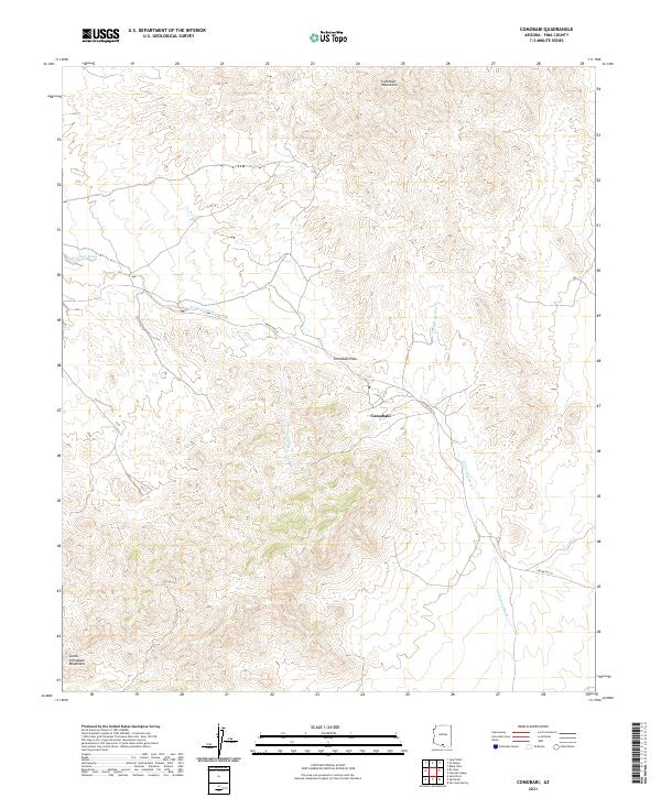 2021 Comobabi2021 Print · USGSThe settlement of Comobabi and its surrounding peaks are documented in this 2021 survey of the Arizona desert. Researchers can trace land divisions and seasonal watercourses like Ko Vaya Wash, Comobabi Wash, and the transit route through Comobabi Pass.
 - 2021 Map of Black Hills, 2021 Print
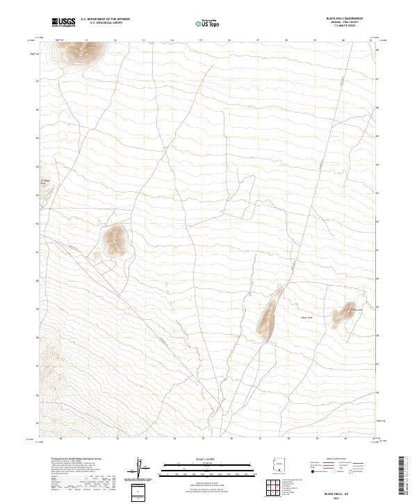 2021 Black Hills2021 Print · USGSThe Pima County desert as it appeared in the early 2020s shows a landscape of isolated peaks and tribal routes. Researchers can trace the elevation of Black Hills and follow the paths of Indian Rte 34 and Indian Rte 35.
 - 2021 Map of Koht Kohl Hill, 2021 Print
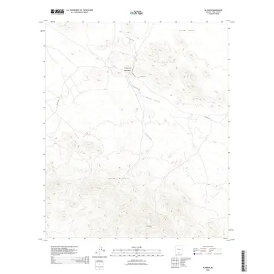
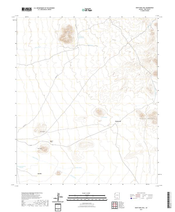 2021 Koht Kohl Hill2021 Print · USGSPima County's high desert landscape comes into focus during this recent survey of the Aguirre Valley. Researchers can locate the settlements of Skoksonak and Quinlin, alongside landmarks like Koht Kohl Hill and the Roskruge Mountains.
 - 2021 Map of Brown Mountain, 2021 Print
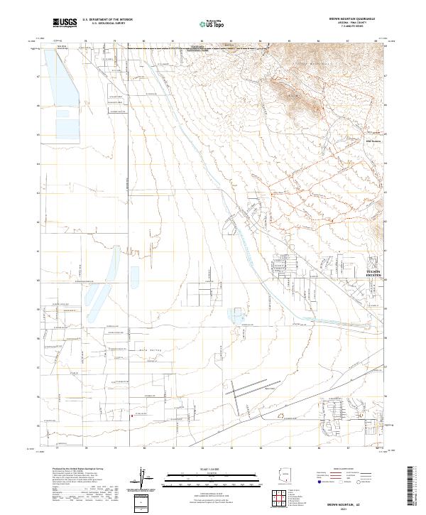 2021 Brown Mountain2021 Print · USGSArizona's desert landscape west of Tucson comes alive in this contemporary survey, showing a mix of rugged parkland and residential expansion. Trace the modern path of the Central Arizona Project Aqueduct or explore the landmarks of Old Tucson and Ryan Field.
 - 2021 Map of Silver Bell West, 2021 Print
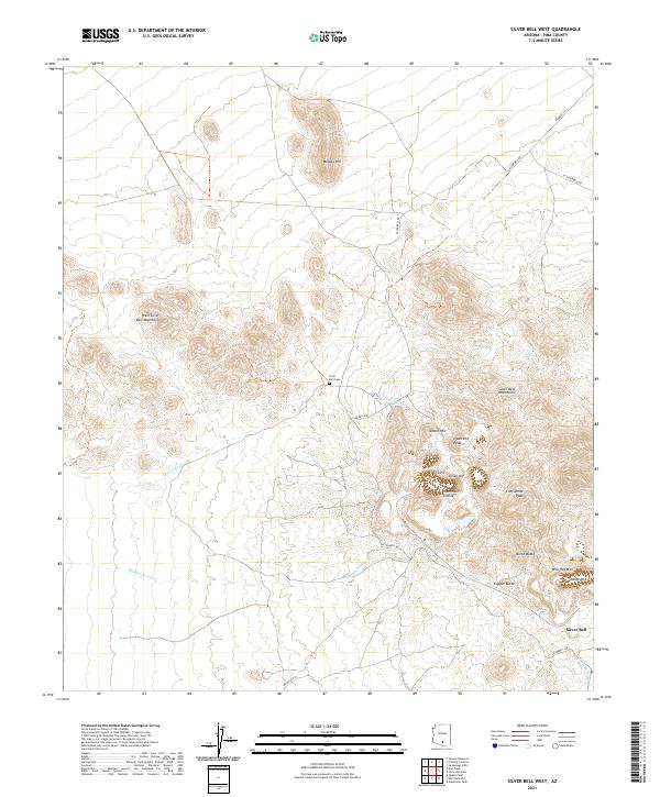 2021 Silver Bell West2021 Print · USGSMining activity in the mountains west of Tucson defines this recent landscape as it appeared in the early 2020s. Researchers can trace deep industrial history through the Oxide Pit, Kurtz Shaft, and the Silver Bell Cem near the town of Silver Bell.
 - 2021 Map of Waterman Peak, 2021 Print
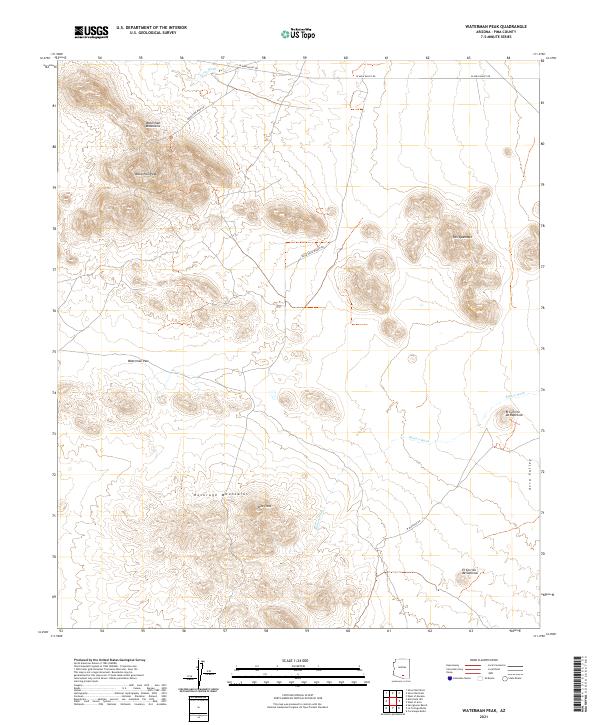 2021 Waterman Peak2021 Print · USGSThe high desert of Pima County is captured here in the early twenty-first century, centered on the dramatic Waterman Mountains. Geologists and local researchers can trace the drainage of the Blanco Wash and locate specific peaks like Pan Quemado and Dos Titos.
 - 2021 Map of La Tortuga Butte, 2021 Print
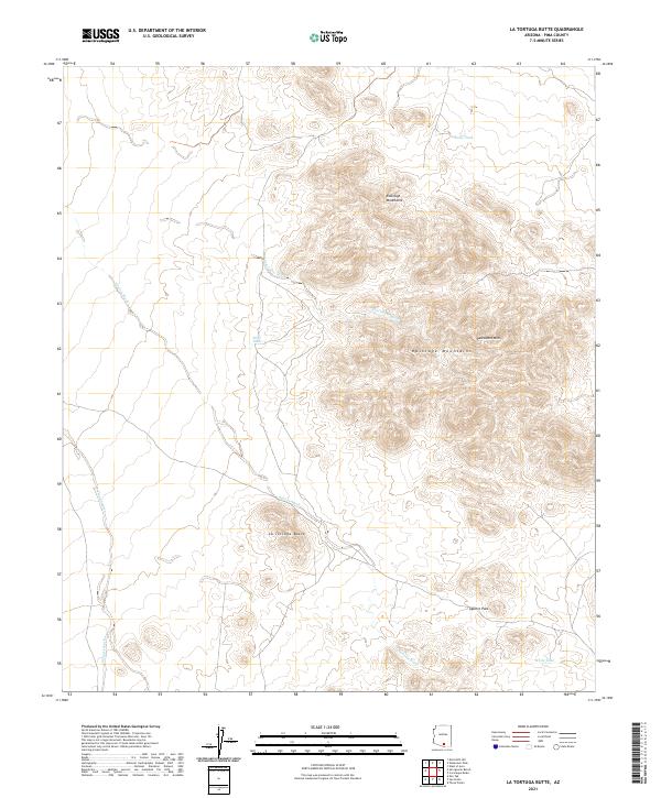 2021 La Tortuga Butte2021 Print · USGSThe Pima County desert landscape in the early twenty-first century reveals a terrain of isolated peaks and seasonal washes. Trace the natural topography through landmarks like La Tortuga Butte, Aguirre Pass, and the Roskruge Mountains.
 - 2021 Map of Pan Tak, 2021 Print
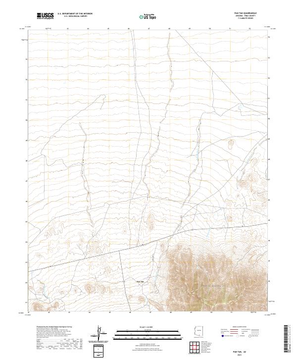 2021 Pan Tak2021 Print · USGSThe desert plains of Pima County meet the high peaks of the Tohono O'odham Nation in the early twenty-first century. Researchers can trace the path of Indian Rte 39 near the settlement of Pan Tak and follow the seasonal Pan Tak Wash.
 - 2026 Map of Pan Tak, 2026 Print
 2026 Pan Tak2026 Print · USGSCovers Schuk Toak District, including Pan Tak, Pima County, and other nearby areas
 - 2026 Map of San Pedro, 2026 Print
 2026 San Pedro2026 Print · USGSCovers Schuk Toak District, including Hayhook Ranch, Nawt Vaya, and other nearby areas
 - 2026 Map of San Ignacio Ranch, 2026 Print
 2026 San Ignacio Ranch2026 Print · USGSCovers Schuk Toak District, including Pima County, United States, and other nearby areas
 - 2026 Map of Sil Nakya, 2026 Print
 2026 Sil Nakya2026 Print · USGSCovers Schuk Toak District, including Sil Nakya, Gu Achi District, and other nearby areas
End of results
Showing maps 1-24 of 24
Top neighborhoods of Schuk Toak District
- Quinlin historical maps
- Nawt Vaya historical maps
- San Pedro historical maps
- Uhs Kug historical maps
- San Vicente historical maps
- Queens Well historical maps
See more
Frequently asked questions
- What are the different types of historical maps available for Schuk Toak District?
- What is the oldest map of Schuk Toak District?
- Where can I purchase historical maps of Schuk Toak District for my home or office?
- Where can I download high-res historical maps of Schuk Toak District?
- Are there historical topographic maps available for Schuk Toak District?
- Is there historical aerial imagery available for Schuk Toak District?
- Where are historical maps of Schuk Toak District sourced from?