2000s (21st Century) Maps of Schuk Toak District, Arizona
Explore 84 historic maps of Schuk Toak District from the 2000s (21st Century). These maps offer a rare glimpse into what life looked like during the 2000s — showing old roads, neighborhoods, homes, and landmarks that have changed or disappeared over time.
Whether you're researching your family's past, planning a metal detecting trip, or studying how Schuk Toak District's landscape evolved across the 2000s, these high-resolution maps are a powerful tool for exploring the history of this region.
- Focus on a specific era: All maps on this page are from the 2000s, giving you a focused view of this time period.
- See what’s changed: Compare century-old streets, trails, and buildings to today's modern landscape using overlays and satellite layers.
- Research with precision: Use these maps for genealogy, historical research, land use analysis, or educational projects.
- View, download, or print: Maps are fully viewable online in high resolution, and can be downloaded or printed for your own records.
Start exploring Schuk Toak District's history through authentic maps from the 2000s. This is your window into the past.
Schuk Toak District, AZ maps
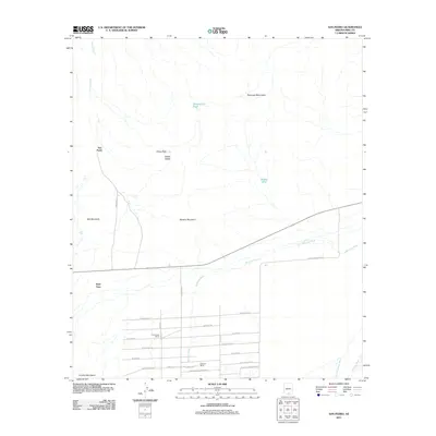
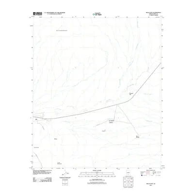
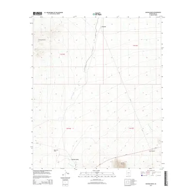
(84)- 2011 Map of Comobabi, 2011 Print
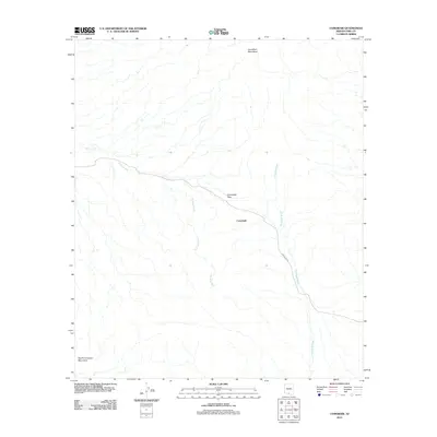 2011 Comobabi2011 Print · USGSCovers Schuk Toak District, including Comobabi, Topawa, and other nearby areas
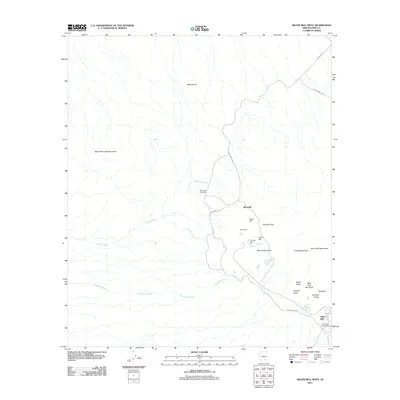
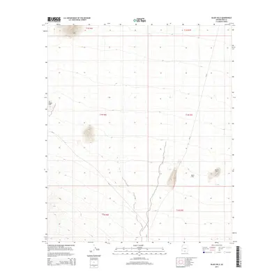
 - 2011 Map of Black Hills, 2011 Print
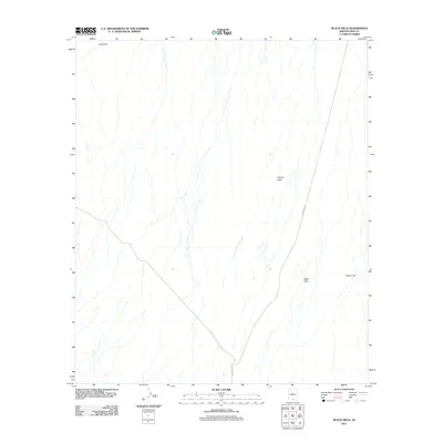 2011 Black Hills2011 Print · USGSCovers Schuk Toak District, including Pima County, United States, and other nearby areas
 - 2011 Map of Koht Kohl Hill, 2011 Print
 2011 Koht Kohl Hill2011 Print · USGSCovers Schuk Toak District, including Skoksonak, Quinlin, and other nearby areas
 - 2011 Map of Brown Mountain, 2011 Print
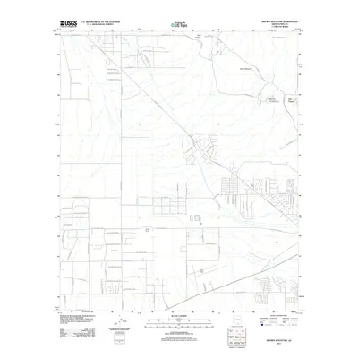 2011 Brown Mountain2011 Print · USGSCovers Schuk Toak District, including Valencia West, Pima County, and other nearby areas
 - 2011 Map of Pan Tak, 2011 Print
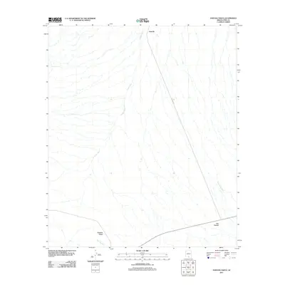
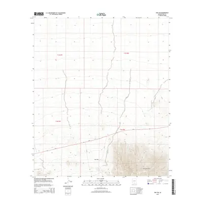
 2011 Pan Tak2011 Print · USGSCovers Schuk Toak District, including Pan Tak, Pima County, and other nearby areas
 - 2011 Map of Haivana Nakya, 2011 Print
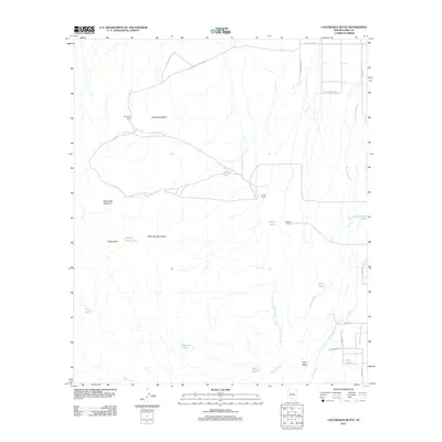
 2011 Haivana Nakya2011 Print · USGSCovers Schuk Toak District, including Haivana Nakya, San Vicente, and other nearby areas
 - 2011 Map of Santa Rosa Mountains SE, 2011 Print
 2011 Santa Rosa Mountains SE2011 Print · USGSCovers Schuk Toak District, including Sif Oidak District, Gu Achi District, and other nearby areas
 - 2011 Map of Silver Bell West, 2011 Print
 2011 Silver Bell West2011 Print · USGSCovers Schuk Toak District, including Silver Bell, Pima County, and other nearby areas
 - 2011 Map of San Pedro, 2011 Print
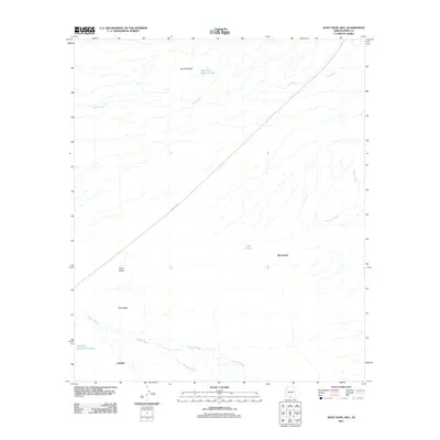
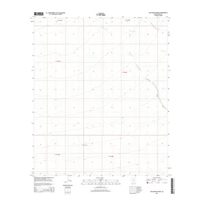
 2011 San Pedro2011 Print · USGSCovers Schuk Toak District, including Hayhook Ranch, Nawt Vaya, and other nearby areas
 - 2011 Map of San Ignacio Ranch, 2011 Print
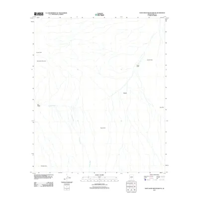
 2011 San Ignacio Ranch2011 Print · USGSCovers Schuk Toak District, including Pima County, United States, and other nearby areas
 - 2011 Map of Queens Well, 2011 Print
 2011 Queens Well2011 Print · USGSCovers Schuk Toak District, including Queens Well, Pima County, and other nearby areas
 - 2011 Map of Santa Rosa Mountains SW, 2011 Print
 2011 Santa Rosa Mountains SW2011 Print · USGSCovers Schuk Toak District, including Sif Oidak District, Gu Achi District, and other nearby areas
 - 2011 Map of La Tortuga Butte, 2011 Print
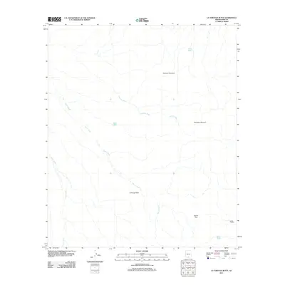 2011 La Tortuga Butte2011 Print · USGSCovers Schuk Toak District, including Pima County, United States, and other nearby areas
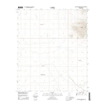
 - 2011 Map of Waterman Peak, 2011 Print
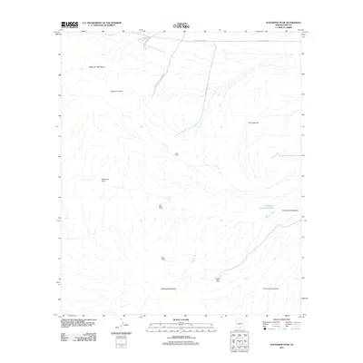 2011 Waterman Peak2011 Print · USGSCovers Schuk Toak District, including Pima County, United States, and other nearby areas
 - 2011 Map of Sil Nakya, 2011 Print
 2011 Sil Nakya2011 Print · USGSCovers Schuk Toak District, including Sil Nakya, Gu Achi District, and other nearby areas
 - 2011 Map of San Juan Spring, 2011 Print
 2011 San Juan Spring2011 Print · USGSCovers Schuk Toak District, including Topawa, Gu Chuapo, and other nearby areas
 - 2011 Map of Sells East, 2011 Print
 2011 Sells East2011 Print · USGSCovers Schuk Toak District, including Ali Chukson, Chukson, and other nearby areas
 - 2011 Map of Kitt Peak, 2011 Print
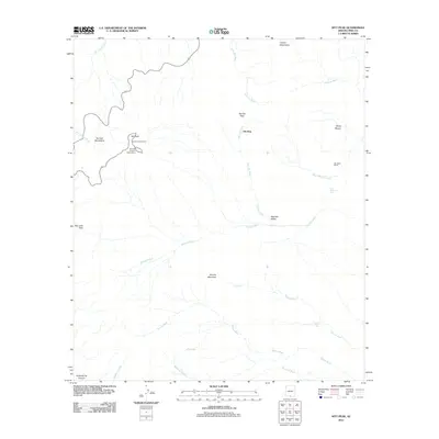 2011 Kitt Peak2011 Print · USGSCovers Schuk Toak District, including Topawa, Uhs Kug, and other nearby areas
 - 2011 Map of Gap Tank, 2011 Print
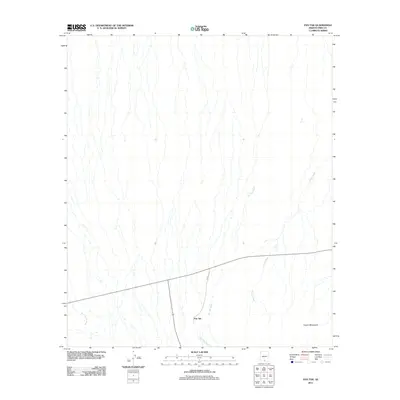
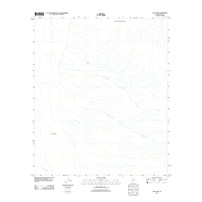 2011 Gap Tank2011 Print · USGSCovers Schuk Toak District, including Pima County, United States, and other nearby areas
 - 2011 Map of Cocoraque Butte, 2011 Print
 2011 Cocoraque Butte2011 Print · USGSCovers Schuk Toak District, including Pima County, United States, and other nearby areas
 - 2014 Map of Haivana Nakya, 2014 Print
 2014 Haivana Nakya2014 Print · USGSCovers Schuk Toak District, including Haivana Nakya, San Vicente, and other nearby areas
 - 2014 Map of Santa Rosa Mountains SW, 2014 Print
 2014 Santa Rosa Mountains SW2014 Print · USGSCovers Schuk Toak District, including Sif Oidak District, Gu Achi District, and other nearby areas
 - 2014 Map of San Ignacio Ranch, 2014 Print
 2014 San Ignacio Ranch2014 Print · USGSCovers Schuk Toak District, including Pima County, United States, and other nearby areas
 - 2014 Map of Black Hills, 2014 Print
 2014 Black Hills2014 Print · USGSCovers Schuk Toak District, including Pima County, United States, and other nearby areas
 - 2014 Map of Pan Tak, 2014 Print
 2014 Pan Tak2014 Print · USGSCovers Schuk Toak District, including Pan Tak, Pima County, and other nearby areas
Showing maps 1-25 of 84
Top neighborhoods of Schuk Toak District
- Quinlin historical maps
- Nawt Vaya historical maps
- San Pedro historical maps
- Uhs Kug historical maps
- San Vicente historical maps
- Queens Well historical maps
See more
Frequently asked questions
- What are the different types of historical maps available for Schuk Toak District?
- What is the oldest map of Schuk Toak District?
- Where can I purchase historical maps of Schuk Toak District for my home or office?
- Where can I download high-res historical maps of Schuk Toak District?
- Are there historical topographic maps available for Schuk Toak District?
- Is there historical aerial imagery available for Schuk Toak District?
- Where are historical maps of Schuk Toak District sourced from?