2020s Maps of Yavapai County, Arizona
Explore 195 historic maps of Yavapai County from the 2020s. These maps offer a rare glimpse into what life looked like during the 2020s — showing old roads, neighborhoods, homes, and landmarks that have changed or disappeared over time.
Whether you're researching your family's past, planning a metal detecting trip, or studying how Yavapai County's landscape evolved across the 2020s, these high-resolution maps are a powerful tool for exploring the history of this region.
- Focus on a specific era: All maps on this page are from the 2020s, giving you a focused view of this time period.
- See what’s changed: Compare century-old streets, trails, and buildings to today's modern landscape using overlays and satellite layers.
- Research with precision: Use these maps for genealogy, historical research, land use analysis, or educational projects.
- View, download, or print: Maps are fully viewable online in high resolution, and can be downloaded or printed for your own records.
Start exploring Yavapai County's history through authentic maps from the 2020s. This is your window into the past.
Yavapai County, AZ maps
(195)- 2021 Map of Turkey Canyon NE, 2021 Print
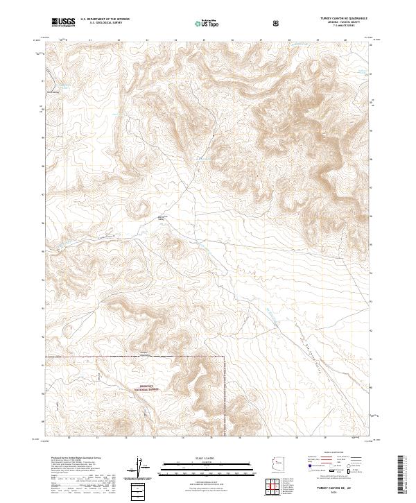 2021 Turkey Canyon NE2021 Print · USGSThe ranching country of the Big Chino Valley is documented here as it appeared in the early 2020s. Trace the remote network of tanks and forest roads, from Maverick Tank to the peaks of the Juniper Mountains.
 - 2021 Map of Blye Canyon NE, 2021 Print
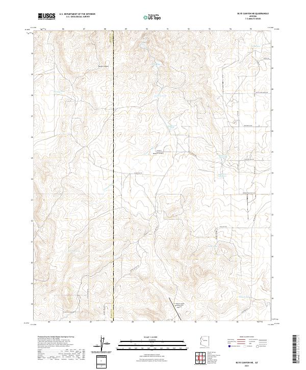 2021 Blye Canyon NE2021 Print · USGSHigh-desert ranching country on the Yavapai and Mohave County line is documented here in the early twenty-first century. Researchers can trace remote property access and water infrastructure through sites like X-1 Ranch Upper Headquarters Airport and Truxton Wash.
 - 2021 Map of Cathedral Caves, 2021 Print
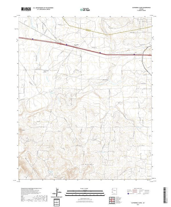 2021 Cathedral Caves2021 Print · USGSThe arid plateaus of Yavapai County are documented here in recent years, highlighting a landscape of ranching roads and remote water tanks. Genealogists and historians can trace local landmarks like Pinaveta, the Old Railroad Bed, and Big Black Mesa.
 - 2021 Map of Horse Trap Mesa, 2021 Print
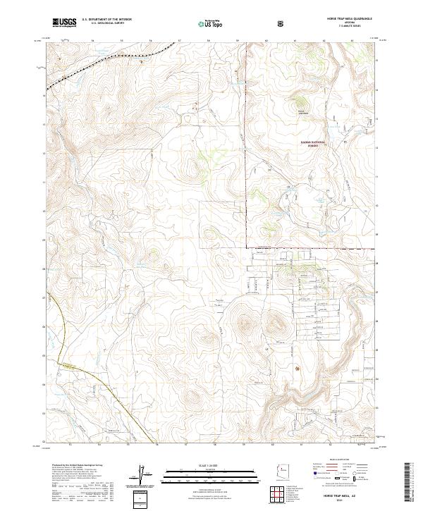 2021 Horse Trap Mesa2021 Print · USGSArizona's high desert plateau comes into focus here in the early twenty-first century, showing the intersection of ranching history and modern residential growth. Researchers can trace water catchment sites like Pitts Homestead Tank and Jane Tank or navigate the backcountry along Old "1" Rd.
 - 2021 Map of Picacho Butte, 2021 Print
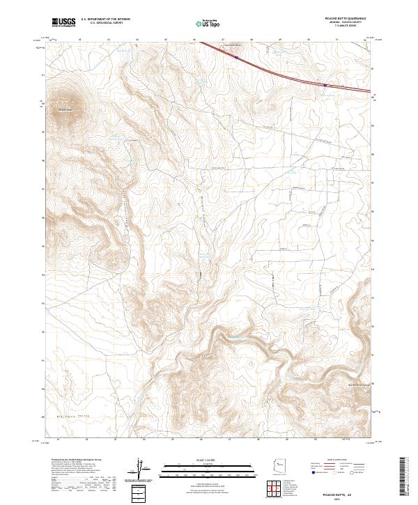 2021 Picacho Butte2021 Print · USGSYavapai County's high-desert rangeland is shown here in the modern era, revealing a landscape of remote buttes and canyon systems. Researchers can trace land use through named ranching features like New Peter Lockett Tank, Stud Horse Butte, and Tucker Spring.
 - 2021 Map of Blye Canyon SE, 2021 Print
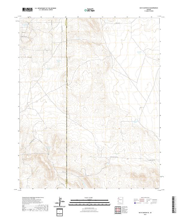 2021 Blye Canyon SE2021 Print · USGSArizona's high ranching country comes into focus in the early twenty-first century as it straddles the Mohave Co and Yavapai Co line. Researchers can trace remote desert water sites like Jim Smith Tanks and family ranch routes such as Diamond M Ranch Rd.
 - 2021 Map of Red Mesa, 2021 Print
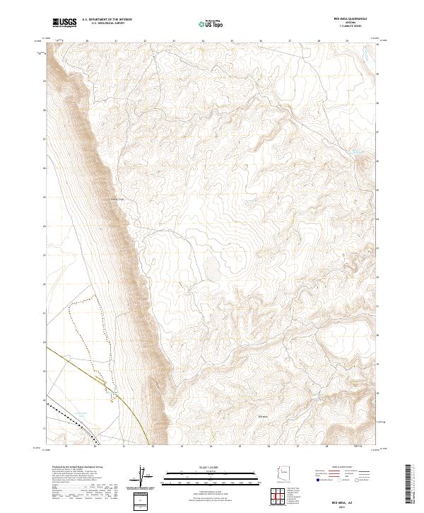 2021 Red Mesa2021 Print · USGSThe Aubrey Cliffs and Red Mesa define this Arizona landscape at the Yavapai and Coconino county line. Trace the local topography through landmarks like Railroad Ave and water features such as Caterpillar Tank and Chino Wash.
 - 2021 Map of Purcell Canyon, 2021 Print
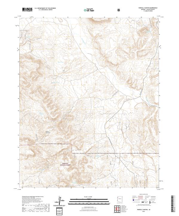 2021 Purcell Canyon2021 Print · USGSThe southern reach of the Juniper Mountains and the northern edge of Prescott National Forest appear here in the early twenty-first century. Researchers can trace family-named landmarks and water sources like Hubbard Tank and Charlie Weston Tank along the Big Chino Wash.
 - 2021 Map of Seligman West, 2021 Print
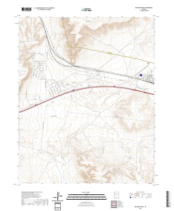 2021 Seligman West2021 Print · USGSThe western outskirts of Seligman, Arizona, are seen here as the high desert landscape meets modern infrastructure in the early 2020s. Researchers can trace local development along Bridge Canyon and locate landmarks like the Seligman Cem and Seligman Airport.
 - 2021 Map of Red Lake Flat, 2021 Print
 2021 Red Lake Flat2021 Print · USGSCovers Yavapai County, including United States, Arizona, and other nearby areas
 - 2021 Map of Red Mountain, 2021 Print
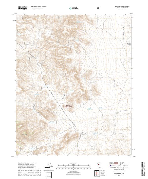 2021 Red Mountain2021 Print · USGSYavapai County ranching and forest lands are detailed in this contemporary survey of the Arizona high desert. Trace the critical network of upland water sources and trails including Iron Mine Tank, Red Mtn, and the Prescott National Forest.
 - 2021 Map of Cross Mountain, 2021 Print
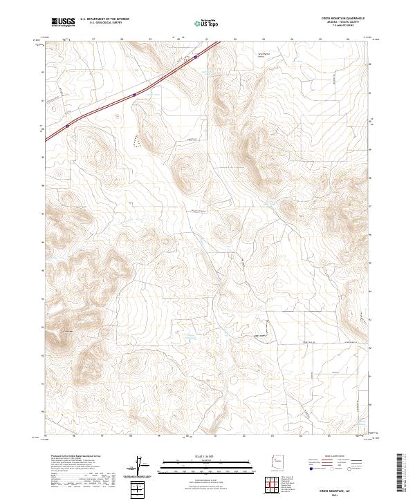 2021 Cross Mountain2021 Print · USGSYavapai County at the start of the 2020s remains a landscape of ranching traditions and remote high-desert terrain. Researchers can trace water rights and grazing history through landmarks like Shorty Davis Tank, Hoggy John Tank, and the peaks around Cross Mtn.
 - 2021 Map of South Butte, 2021 Print
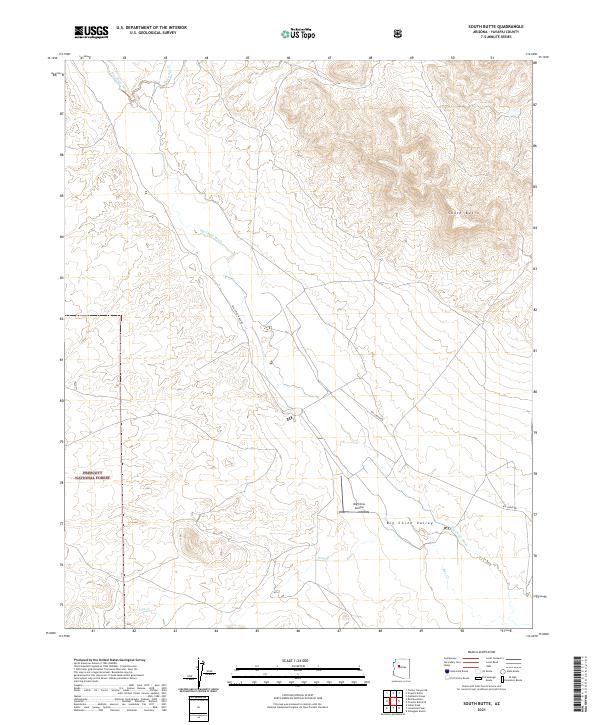 2021 South Butte2021 Print · USGSBig Chino Valley comes into focus in this 2021 survey, capturing the ranching landscape of Yavapai County at the start of the decade. Researchers can trace remote routes like Big Chino Rd or locate aviation landmarks like Big Chino Airstrip near the base of South Butte.
 - 2021 Map of Matterhorn, 2021 Print
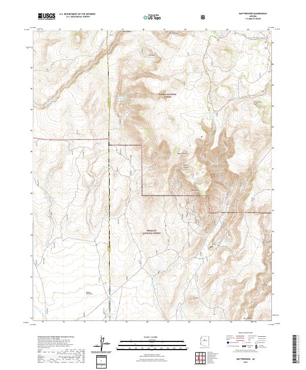 2021 Matterhorn2021 Print · USGSThe high desert border of Coconino and Yavapai counties is documented here as it appeared in the early 2020s. Trace backcountry routes like Old "4" Rd. and the Stage Station Mtn. Bike Trl past landmarks such as the Matterhorn and Wild Steer Mesa.
 - 2021 Map of Yampai SE, 2021 Print
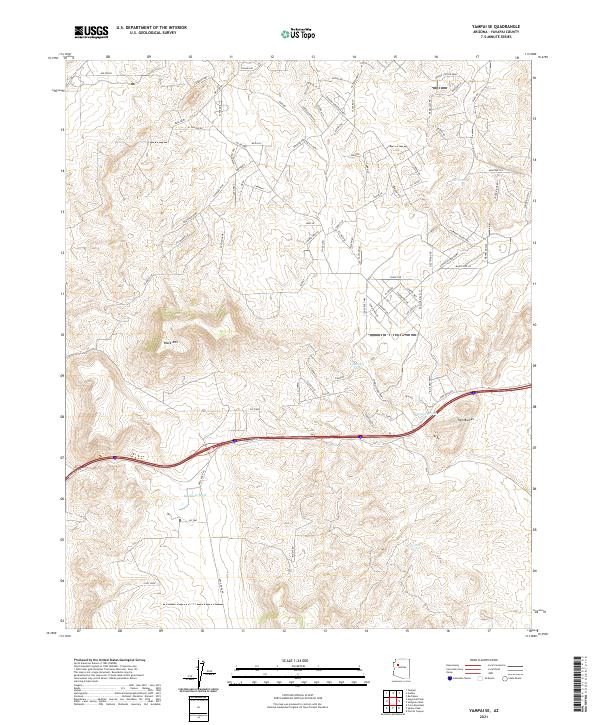 2021 Yampai SE2021 Print · USGSYavapai County's high desert landscape is shown here as it transitioned through modern development in the early 2020s. Genealogists and land researchers can trace the emerging road networks like Avenida Escoba and find rural water features like Pet Tank and Markham Wash.
 - 2021 Map of Fort Rock Ranch, 2021 Print
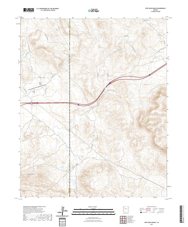 2021 Fort Rock Ranch2021 Print · USGSYavapai County ranching country is documented here in the early twenty-first century. Researchers can trace land use through features like Fort Rock Ranch, the Dunton Ranch Airport, and Tom Bacon Lake.
 - 2021 Map of Anvil Rock, 2021 Print
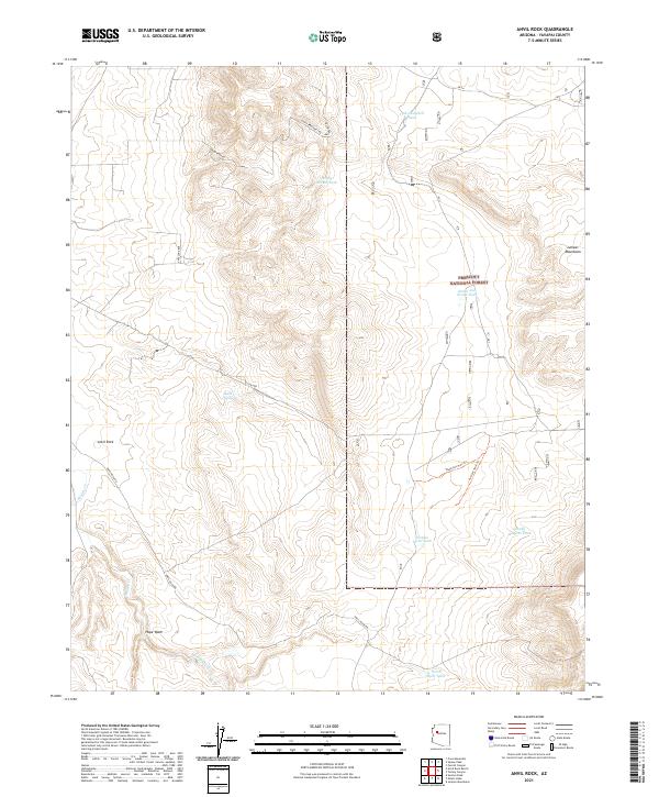 2021 Anvil Rock2021 Print · USGSThe eastern reaches of the Juniper Mountains come to life on this 2021 map of the Prescott National Forest area. Genealogists and researchers can trace local movement along Anvil Rock Rd and locate family-named sites like Henry Brown Tank and Windy Roberts Tank.
 - 2021 Map of Turkey Canyon, 2021 Print
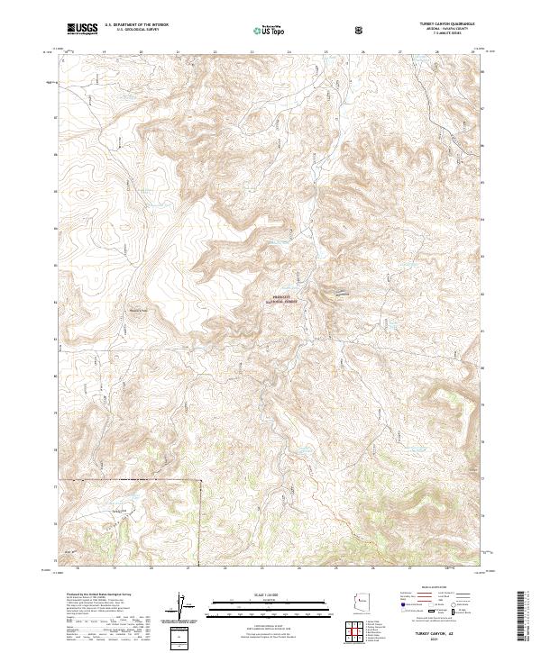 2021 Turkey Canyon2021 Print · USGSYavapai County's high-country ranching and forest lands are captured in this modern survey of the Juniper Mountains region. Trace the distribution of essential water catchments like Happy Camp Tank and Trick Tank or follow the path of the historic Military Trl.
 - 2021 Map of Sugarloaf Peak, 2021 Print
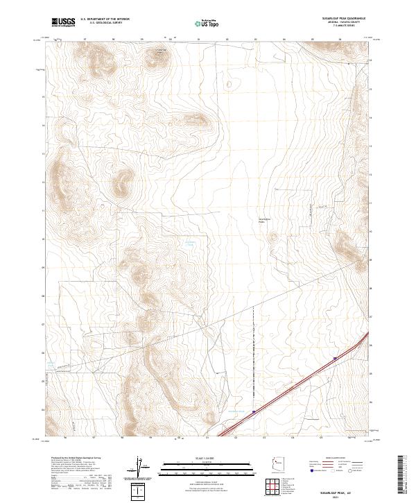 2021 Sugarloaf Peak2021 Print · USGSYavapai County rangelands are documented here in the early twenty-first century, showing a landscape shaped by high-desert terrain and ranching needs. Researchers can trace remote routes and land features like Wrangler Ridge, Seventyfour Plains, and Celedonio Tank.
 - 2021 Map of Yampai, 2021 Print
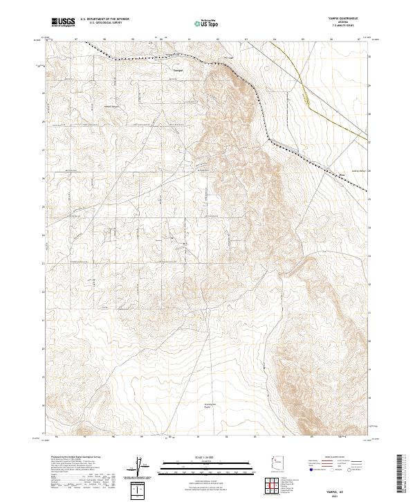 2021 Yampai2021 Print · USGSThe high ranchlands of Yavapai County are captured here during a period of modern ranching and rural development. Researchers can trace land divisions and local history through features like Dusty Rose Ranch, the settlement of Pica, and Yampai Canyon.
 - 2021 Map of Audley, 2021 Print
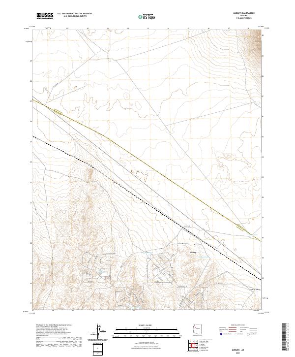 2021 Audley2021 Print · USGSThe Aubrey Valley of northern Arizona is captured here in the early twenty-first century as modern developments meet traditional rangeland. Researchers can trace the growing street network around Audley and locate remote ranching features like Norton Tank and Pica Camp Rd.
 - 2021 Map of Anvil Rock Ranch, 2021 Print
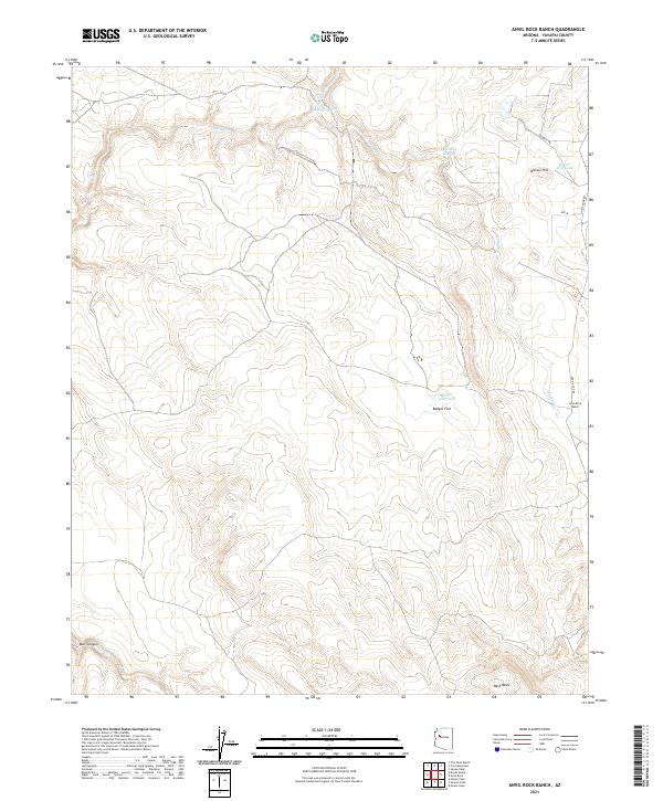 2021 Anvil Rock Ranch2021 Print · USGSYavapai County ranching lands are captured here in the early twenty-first century, showing the remote landscape near the Mohave County line. Researchers can trace the layout of the Anvil Rock Ranch and livestock water sources like Badger Flat Tank and Biscuit Hill Tank.
 - 2021 Map of Devils Hump, 2021 Print
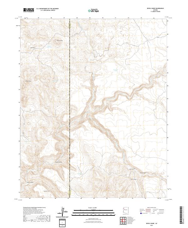 2021 Devils Hump2021 Print · USGSThe high desert borderlands of Mohave and Yavapai counties come into focus in this recent survey of ranching and mountain terrain. Researchers can trace natural water sources and man-made catchments like Willow Spring, Fred Cook Tank, and Mohon Tank near the prominent Devils Hump.
 - 2021 Map of McLellan Reservoir, 2021 Print
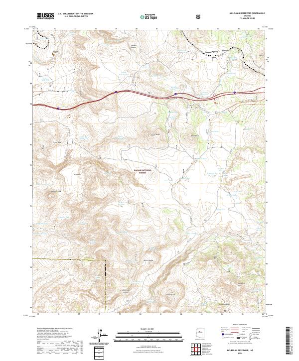 2021 McLellan Reservoir2021 Print · USGSCoconino County during the early twenty-first century reveals a landscape shaped by ranching heritage and the path of the Mother Road. Researchers can trace the legacy of Route 66 along Frontage Rd or locate family-named landmarks like Boyd Knoll and Deadman Knoll.
 - 2021 Map of Picacho Butte SE, 2021 Print
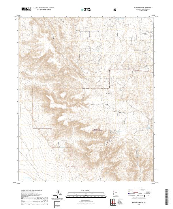 2021 Picacho Butte SE2021 Print · USGSYavapai County ranching lands and protected forest are captured here in the early twenty-first century. Researchers can trace the water infrastructure of the high desert through features like Red Hat Tank, Storm Seep, and the prominent Big Black Mesa.
Showing maps 1-25 of 195
Top cities of Yavapai County
- Prescott historical maps
- Prescott Valley historical maps
- Cottonwood historical maps
- Camp Verde historical maps
- Williamson historical maps
- Paulden historical maps
See more
Frequently asked questions
- What are the different types of historical maps available for Yavapai County?
- What is the oldest map of Yavapai County?
- Where can I purchase historical maps of Yavapai County for my home or office?
- Where can I download high-res historical maps of Yavapai County?
- Are there historical topographic maps available for Yavapai County?
- Is there historical aerial imagery available for Yavapai County?
- Where are historical maps of Yavapai County sourced from?