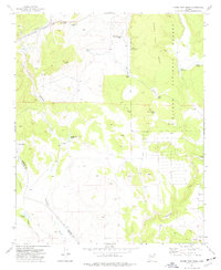
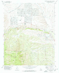
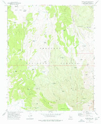
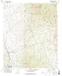
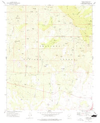
1970s Maps of Yavapai County, Arizona
Explore 53 historic maps of Yavapai County from the 1970s. These maps offer a rare glimpse into what life looked like during the 1970s — showing old roads, neighborhoods, homes, and landmarks that have changed or disappeared over time.
Whether you're researching your family's past, planning a metal detecting trip, or studying how Yavapai County's landscape evolved across the 1970s, these high-resolution maps are a powerful tool for exploring the history of this region.
- Focus on a specific era: All maps on this page are from the 1970s, giving you a focused view of this time period.
- See what’s changed: Compare century-old streets, trails, and buildings to today's modern landscape using overlays and satellite layers.
- Research with precision: Use these maps for genealogy, historical research, land use analysis, or educational projects.
- View, download, or print: Maps are fully viewable online in high resolution, and can be downloaded or printed for your own records.
Start exploring Yavapai County's history through authentic maps from the 1970s. This is your window into the past.
Yavapai County, AZ maps
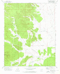
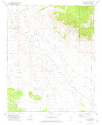
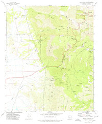
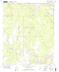
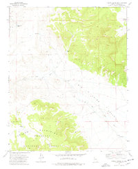
(53)- 1970 Map of Loy Butte, 1972 Print
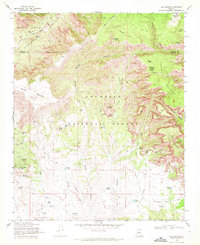 1970 Loy Butte1972 Print · USGSCoconino National Forest in the early seventies was a land of remote cattle ranches and hidden canyon outposts. Researchers can trace the layout of historic operations like Hancock Ranch and Gray Ranch, or locate landmarks such as the Cliff Dwelling and the legendary Robbers Roost.2 unique versions available
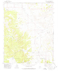
 - 1971 Map of Phoenix
 1971 Phoenix1971 Print · USGSCentral Arizona at the start of the seventies shows a desert metropolis expanding toward the Sun Valley retirement boom. Trace the growth of Sun City and Glendale, or locate remote historic sites like the Vulture Gold Mine and Nottbusch Cemetery.
 - 1972 Map of Mazatzal Peak, 1974 Print
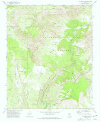
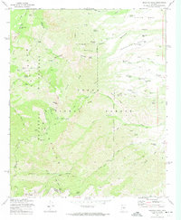 1972 Mazatzal Peak1974 Print · USGSThe high Mazatzal range of central Arizona is captured here in the early 1970s, marking a rugged landscape of national forest and wilderness. Local historians can trace old ranching and forest camps like Chilson Camp or search for the isolated Grave near Deer Creek.3 unique versions available
 - 1973 Map of North Peak, 1975 Print
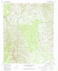 1973 North Peak1975 Print · USGSThe Mazatzal Mountains in the early 1970s reveal a landscape of remote mining claims and high desert ranching. Genealogists and historians can trace old routes like the Marysville Trail and locate historic workings such as the Zulu Mine and Doll Baby Ranch.3 unique versions available
 - 1973 Map of Picacho Butte SE, 1976 Print
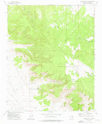 1973 Picacho Butte SE1976 Print · USGSThe Prescott National Forest transition into the Big Chino Valley is captured here in the early 1970s. Trace the paths of the Old Railroad Grade, old mines like Storm Seep Mine, and various ranching tanks and corrals.
 - 1973 Map of Red Mountain, 1976 Print
 1973 Red Mountain1976 Print · USGSYavapai County's high-country terrain is captured in the early 1970s as the national forest meets the ranching plains. Researchers can trace the essential water network of the era, from Atkins Well and Red Mountain Tanks to industrial Quarries.
 - 1973 Map of Cathedral Caves, 1976 Print
 1973 Cathedral Caves1976 Print · USGSYavapai and Coconino counties are surveyed here in the early seventies, capturing a landscape of high mesas and critical water tanks. Trace the Old Railroad Grade and A T & S F lines near landmarks like Cathedral Caves and Smith Butte.
 - 1973 Map of Prescott Valley North, 1976 Print
 1973 Prescott Valley North1976 Print · USGSIn the early 1970s, the area north of Prescott Valley was a landscape of ranching water tanks and early residential street grids. Trace the beginnings of local neighborhoods and find historical sites like the Old Hopkins Mine and the Agua Fria River.3 unique versions available
 - 1973 Map of Picacho Butte, 1976 Print
 1973 Picacho Butte1976 Print · USGSYavapai County ranching country is captured here in the early 1970s, showing a landscape of deep canyons and vital high-desert water sources. Local historians can trace cattle industry footprints through family-named sites like Pete Lockett Canyon, Tucker Spring, and the Rafter M Bar Tank.
 - 1973 Map of South Butte, 1976 Print
 1973 South Butte1976 Print · USGSYavapai County ranching and forest lands are captured here in the early 1970s as the high-desert landscape began to modernize. Researchers can locate the Chapman Ranch and its private Airstrip, or trace agricultural sites like the Grain Elevator and Corrals near Chino Valley.
 - 1973 Map of Sycamore Basin, 1977 Print
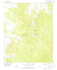
 1973 Sycamore Basin1977 Print · USGSYavapai and Coconino counties meet at the heart of this Arizona wilderness in the early 1970s, showing a landscape defined by water tanks and remote trails. You can trace old routes across Packard Mesa and locate early sites like the Ruins near Henderson Flat.2 unique versions available
 - 1973 Map of Turkey Canyon, 1977 Print
 1973 Turkey Canyon1977 Print · USGSThe high Juniper Mountains of northern Arizona were a center of remote ranching and mining in the early seventies. Genealogists and historians can trace ranching lifeways through named sites like Turkey Canyon Well, Middle Well, and the Iron King Mine.
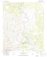
 - 1973 Map of Cottonwood, 1977 Print
 1973 Cottonwood1977 Print · USGSThe Verde Valley and the Black Hills collide in the early seventies, showcasing the mining history of Jerome alongside the growth of Cottonwood. Genealogists and historians can trace deep-level shafts like the Gadsden Shaft or locate the site of the Mingus Union High Sch.3 unique versions available
 - 1973 Map of Hickey Mountain, 1977 Print
 1973 Hickey Mountain1977 Print · USGSArizona's Black Hills come alive in the 1970s, showing the intersection of Prescott National Forest recreation and deep-rooted mining history. Trace the trails of early prospectors and ranchers at the Yaeger Mine, Mingus Springs Ranch, and the Jerome Grande Shaft.3 unique versions available
 - 1973 Map of Horse Trap Mesa, 1977 Print
 1973 Horse Trap Mesa1977 Print · USGSThe high plateau of Coconino County is captured here in the early 1970s, showing a landscape defined by ranching water works and the great western railroad. Researchers can trace the Atchison Topeka and Santa Fe line past Pitts Homestead Tank, Pineveta Wash, and the slopes of Horse Trap Mesa.
 - 1973 Map of Prescott Valley South, 1977 Print
 1973 Prescott Valley South1977 Print · USGSPrescott Valley was transitioning from its ranching roots to suburban development in the early 1970s. Trace this growth alongside historic mining sites like Doodlebug Diggings and the Iron King Mine, or locate family landmarks like Lake Valley Sch.2 unique versions available
 - 1973 Map of Munds Draw, 1977 Print
 1973 Munds Draw1977 Print · USGSYavapai County in the early seventies shows a landscape of mining and ranching infrastructure within the Prescott National Forest. Researchers can trace old resource sites like the Haynes Shaft and Section House Spring among the draws and mesas.2 unique versions available
 - 1973 Map of Perkinsville, 1977 Print
 1973 Perkinsville1977 Print · USGSCentral Arizona's high desert reveals its industrial and ranching history in the early seventies. Trace the rail-and-river corridor through Perkinsville to find old Quarries and family-named landmarks like Witty Tom Tank and Mormon Pocket.2 unique versions available
 - 1973 Map of Purcell Canyon, 1977 Print
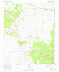
 1973 Purcell Canyon1977 Print · USGSYavapai County ranching and rail infrastructure are on full display in the early 1970s. Researchers can trace the path of the Big Chino Railroad as it follows the Big Chino Wash past the Double O Ranch and family-named landmarks like the Sullivan Tank.
 - 1973 Map of Clarkdale, 1977 Print
 1973 Clarkdale1977 Print · USGSThe Verde Valley during the early 1970s reveals a unique intersection of ancient ruins and heavy copper mining industry. Researchers can trace the extensive mining works at the United Verde Mine, visit the historic Tuzigoot Nat Mon, or locate early ranching sites like Packard Ranch.3 unique versions available
 - 1973 Map of Chino Valley South, 1977 Print
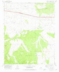
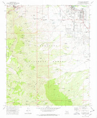
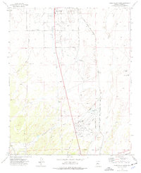 1973 Chino Valley South1977 Print · USGSYavapai County during the early 1970s shows a landscape of aviation and irrigation development south of the town center. Local researchers can trace the Atchison Topeka and Santa Fe rail line, Rolling Hills Cem, and private airstrips like Robin Landing Field.2 unique versions available
 - 1973 Map of Turkey Canyon NE, 1977 Print
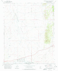
 1973 Turkey Canyon NE1977 Print · USGSYavapai County ranching country is captured here in the 1970s, showcasing a landscape defined by water management and high-desert terrain. Researchers can trace the routes of a Jeep Trail past remote sites like Double O Tank and the Sullivan Tanks.
 - 1973 Map of Humboldt, 1977 Print
 1973 Humboldt1977 Print · USGSThe Agua Fria River valley in the early seventies shows a landscape defined by the mining industry and the Atchison Topeka and Santa Fe railroad. Researchers can trace family history at Henderson Cem or explore mineral history at the Shylock Mine and Ambassador Mine.
 - 1973 Map of Prescott, 1977 Print
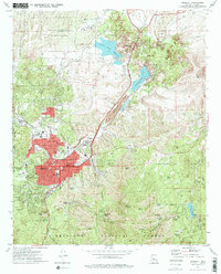 1973 Prescott1977 Print · USGSPrescott at the start of the seventies shows a growing mountain city balanced against its storied military and institutional history. Researchers can trace the layout of the Whipple Barracks Military Reservation, the Yavapai Indian Reservation, and local sites like the Odd Fellows Cemetery.2 unique versions available
 - 1973 Map of Cherry, 1977 Print
 1973 Cherry1977 Print · USGSThe mining district around the Black Hills comes to life in the early 1970s, showcasing a landscape of remote claims and springs. Genealogists and historians can trace the sites of the Cherry King Mine, the Sitting Bull Mine, and the small community of Cherry.2 unique versions available
Showing maps 1-25 of 53
Top cities of Yavapai County
- Prescott historical maps
- Prescott Valley historical maps
- Cottonwood historical maps
- Camp Verde historical maps
- Williamson historical maps
- Paulden historical maps
See more
Frequently asked questions
- What are the different types of historical maps available for Yavapai County?
- What is the oldest map of Yavapai County?
- Where can I purchase historical maps of Yavapai County for my home or office?
- Where can I download high-res historical maps of Yavapai County?
- Are there historical topographic maps available for Yavapai County?
- Is there historical aerial imagery available for Yavapai County?
- Where are historical maps of Yavapai County sourced from?