2010s Maps of Alameda County, California
Explore 87 historic maps of Alameda County from the 2010s. These maps offer a rare glimpse into what life looked like during the 2010s — showing old roads, neighborhoods, homes, and landmarks that have changed or disappeared over time.
Whether you're researching your family's past, planning a metal detecting trip, or studying how Alameda County's landscape evolved across the 2010s, these high-resolution maps are a powerful tool for exploring the history of this region.
- Focus on a specific era: All maps on this page are from the 2010s, giving you a focused view of this time period.
- See what’s changed: Compare century-old streets, trails, and buildings to today's modern landscape using overlays and satellite layers.
- Research with precision: Use these maps for genealogy, historical research, land use analysis, or educational projects.
- View, download, or print: Maps are fully viewable online in high resolution, and can be downloaded or printed for your own records.
Start exploring Alameda County's history through authentic maps from the 2010s. This is your window into the past.
Alameda County, CA maps
(87)- 2012 Map of Hunters Point, 2012 Print
 2012 Hunters Point2012 Print · USGSThe San Francisco waterfront at Hunters Point is captured in the early 2010s, showing the industrial shoreline and maritime basins. Researchers can trace modern infrastructure at India Basin, the deep-water San Bruno Channel, and streets like Innes Ave.
 - 2012 Map of Midway, 2012 Print
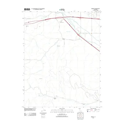 2012 Midway2012 Print · USGSThe hills west of Tracy are shown here in the early twenty-first century, revealing a landscape of historic mining sites and massive water projects. Researchers can trace the path of the Delta-Mendota Canal or locate the old grounds of Tesla and Pottery.
 - 2012 Map of Mount Boardman, 2012 Print
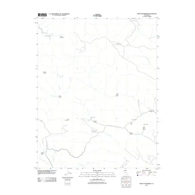 2012 Mount Boardman2012 Print · USGSSanta Clara County’s high Diablo Range ranching country is captured here in the early 21st century. Researchers can trace family-named land holdings like Livermore Dude Ranch and Schmidt Ranch tucked between Mount Boardman and Red Mountain.
 - 2012 Map of Mount Day, 2012 Print
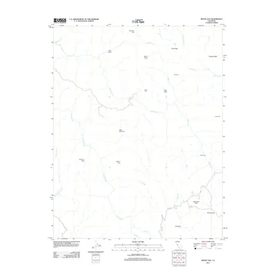 2012 Mount Day2012 Print · USGSThe Diablo Range heights east of San Jose come into focus during the early 2010s, showing a landscape of deep canyons and high peaks. Researchers can trace historic land use through labels for Ogier Ranch, Hamilton Flat, and the remote Old Camp.
 - 2012 Map of Clifton Court Forebay, 2012 Print
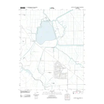 2012 Clifton Court Forebay2012 Print · USGSThe San Joaquin Valley's edge comes into focus during a period of rapid suburban growth and massive water engineering projects. Researchers can trace the development of Mountain House or locate landmarks like the Byron Airport and White House Landing.
 - 2012 Map of Cedar Mountain, 2012 Print
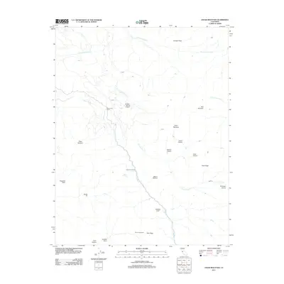 2012 Cedar Mountain2012 Print · USGSThe California highlands south of Livermore appear in detail in the early 2010s. Local history researchers can trace high-altitude sites like Fourteenmile House, the Rancho Los Mochos estate, and the industrial path of the Hetch Hetchy Aqueduct.
 - 2012 Map of Milpitas, 2012 Print
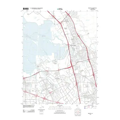 2012 Milpitas2012 Print · USGSSilicon Valley in the early 2010s shows a landscape of massive corporate growth and modern infrastructure overlaid on historic South Bay settlements. Researchers can trace the evolution of Alviso and the Warm Springs District or locate family sites at the Cedar Lawn Memorial Cem.
 - 2012 Map of Eylar Mountain, 2012 Print
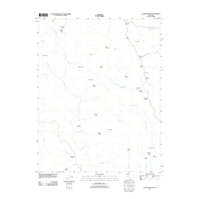 2012 Eylar Mountain2012 Print · USGSSanta Clara County’s interior ridges are mapped here in the early twenty-first century, showing a landscape defined by rugged canyons and isolated ranches. Researchers can trace historic family sites and outposts like Parman Ranch, Fisher Homestead, and Hays Camp.
 - 2012 Map of La Costa Valley, 2012 Print
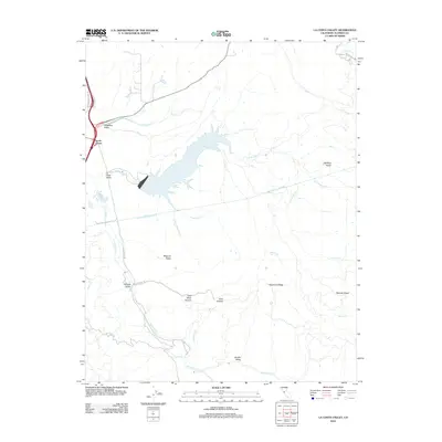 2012 La Costa Valley2012 Print · USGSAlameda County’s upland valleys and water infrastructure are captured here in the early twenty-first century. Researchers can trace the path of the Hetch Hetchy Aqueduct past San Antonio Reservoir or locate early landmarks like Coal Mine Canyon and Scotts Corner.
 - 2012 Map of Altamont, 2012 Print
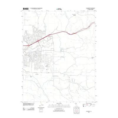 2012 Altamont2012 Print · USGSThe Livermore Valley was entering a new era of scientific and viticultural prominence in the early 2010s. Researchers and local historians can trace the footprint of Sandia National Laboratories and historic vineyards like Wente Brothers Winery and Concannon Winery.
 - 2012 Map of Lone Tree Creek, 2012 Print
 2012 Lone Tree Creek2012 Print · USGSThe northern Diablo Range in the early 2010s remains a landscape of deep canyons and named ridges. Genealogists and researchers can trace the course of the Hetch Hetchy Aqueduct and locate natural landmarks like Lone Tree Mineral Spring and Cedar Knob.
 - 2012 Map of Livermore, 2012 Print
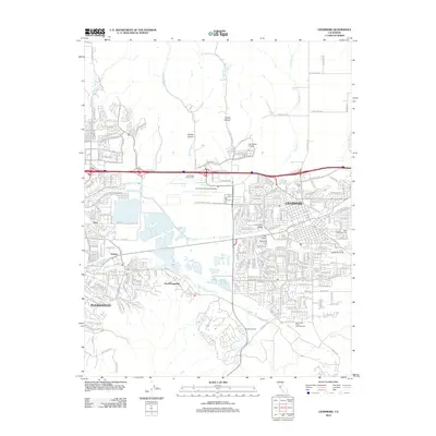 2012 Livermore2012 Print · USGSThe Livermore Valley at the start of the 2010s shows a modern suburban corridor still intertwined with its celebrated winemaking tradition. Researchers can trace local heritage through Roselawn Cem, Saint Michaels Cem, and vineyards like Fenestra Winery.
 - 2012 Map of Dublin, 2012 Print
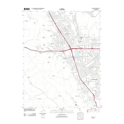 2012 Dublin2012 Print · USGSThe Amador Valley and surrounding ridges appear in a period of significant suburban growth and established military presence. Genealogists and local historians can trace the footprint of Camp Parks or locate family sites near Dublin Cem and Verona.
 - 2012 Map of Diablo, 2012 Print
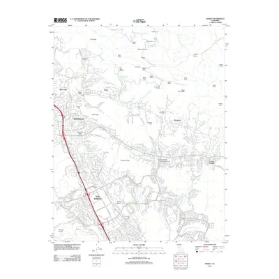 2012 Diablo2012 Print · USGSThe San Ramon Valley at the start of the 2010s shows a landscape where suburban growth meets the peaks of the Diablo Range. Researchers can trace the layout of Blackhawk, find the San Ramon Siding, and locate the San Ramon Veteran Civilian Conservation Corps Camp.
 - 2012 Map of Niles, 2012 Print
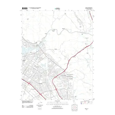 2012 Niles2012 Print · USGSThe East Bay's evolving landscape is visible here during the early twenty-first century, showing the integration of historic districts into a modern city. Researchers can trace the legacy of the Oroysom Mission San Jose District and find landmarks like the San Francisco Water Temple or the Ohlones Cem.
 - 2012 Map of Mendenhall Springs, 2012 Print
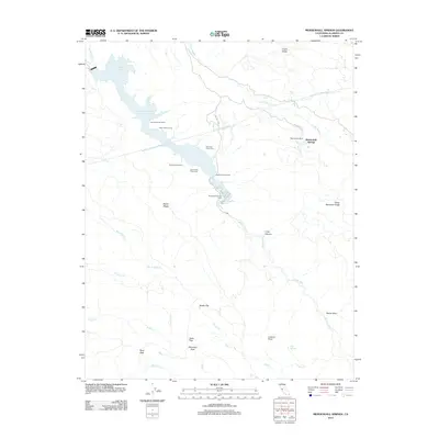 2012 Mendenhall Springs2012 Print · USGSThe Diablo Range backcountry of Alameda County is captured here in the early twenty-first century, centered on the waters of the Del Valle reservoir. Researchers can map the rugged summits of Rose Peak and Discovery Peak or trace the vital Hetch Hetchy Aqueduct near Mendenhall Springs.
 - 2012 Map of Tassajara, 2012 Print
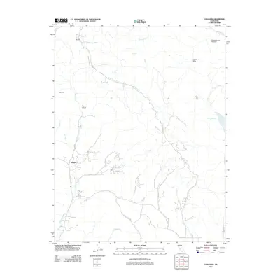 2012 Tassajara2012 Print · USGSContra Costa County ranch lands and the Diablo Range foothills are documented here in the early 2000s. Researchers can trace the network of rural roads and creek drainages between Tassajara, the Los Vaqueros Reservoir, and Morgan Territory.
 - 2012 Map of Richmond, 2012 Print
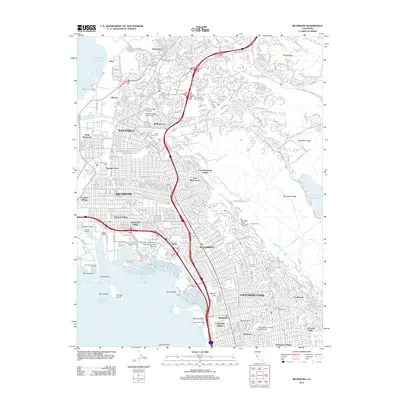 2012 Richmond2012 Print · USGSThe East Bay shoreline and its industrial heart are shown here in the early 2010s, from the docks of RICHMOND to the residential streets of ALBANY. Trace the complex layout of the Richmond Reserve Shipyard, Golden Gate Fields, and local neighborhoods like Stege.
 - 2012 Map of Redwood Point, 2012 Print
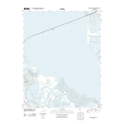 2012 Redwood Point2012 Print · USGSThe South Bay shoreline comes into focus during the early twenty-first century, showing the intersection of residential growth and maritime industry. Trace the salt marshes and tidal channels around Bair Island, the Port of Redwood City, and Redwood Shores.
 - 2012 Map of Hayward, 2012 Print
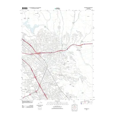 2012 Hayward2012 Print · USGSThe East Bay's evolving urban and academic landscape is documented here during a period of significant density in the early twenty-first century. Researchers can trace the development of established neighborhoods like Mount Eden and Sorenson or locate family sites at Holy Sepulchre Cem and All Saints Cem.
 - 2012 Map of Calaveras Reservoir, 2012 Print
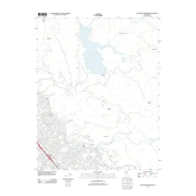 2012 Calaveras Reservoir2012 Print · USGSThe foothills of the Diablo Range meet the growing neighborhoods of San Jose in the early 2010s. Local researchers can trace the edges of the Berryessa district, find the Saint Johns Catholic Cem, and explore the terrain around Calaveras Reservoir.
 - 2012 Map of Briones Valley, 2012 Print
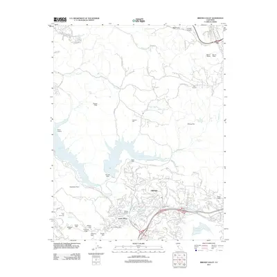 2012 Briones Valley2012 Print · USGSOrinda and the surrounding East Bay hills are captured here in the early 2010s, showcasing a landscape defined by significant water reservoirs and steep ridges. Researchers can trace local infrastructure like the Mokelumne Aqueduct and Claremont Water Tunnel alongside neighborhoods like Sleepy Hollow and Happy Valley.
 - 2012 Map of Las Trampas Ridge, 2012 Print
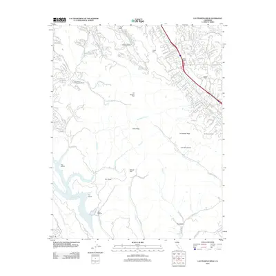 2012 Las Trampas Ridge2012 Print · USGSThe East Bay's interior ridges and suburban valleys are captured here in the early twenty-first century. Researchers can trace the development of Stone Valley and Tice Valley, locate Saint Mary's College of California, or map the drainages feeding the Upper San Leandro Reservoir.
 - 2012 Map of Byron Hot Springs, 2012 Print
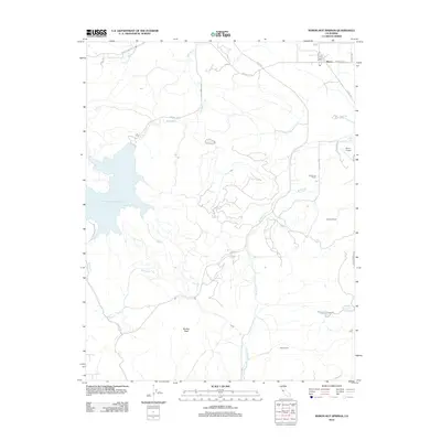 2012 Byron Hot Springs2012 Print · USGSContra Costa County at the start of the 2010s shows a landscape of strategic water storage and traditional ranching. Researchers can trace land use through named properties like Johnson Ranch, the historic Byron Hot Springs, and the footprint of the Byron Airport.
 - 2012 Map of Oakland West, 2012 Print
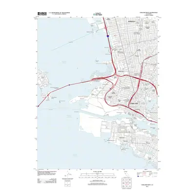 2012 Oakland West2012 Print · USGSThe East Bay waterfront thrives in the early twenty-first century, showing the complex industrial and academic landscape of Oakland and Berkeley. Genealogists and historians can trace neighborhood boundaries in Chinatown or locate maritime sites like the Oakland Mole and Jack London Square.
Showing maps 1-25 of 87
Top cities of Alameda County
- Oakland historical maps
- Fremont historical maps
- Hayward historical maps
- Berkeley historical maps
- San Leandro historical maps
- Livermore historical maps
See more
Frequently asked questions
- What are the different types of historical maps available for Alameda County?
- What is the oldest map of Alameda County?
- Where can I purchase historical maps of Alameda County for my home or office?
- Where can I download high-res historical maps of Alameda County?
- Are there historical topographic maps available for Alameda County?
- Is there historical aerial imagery available for Alameda County?
- Where are historical maps of Alameda County sourced from?