2020s Maps of Humboldt County, California
Explore 91 historic maps of Humboldt County from the 2020s. These maps offer a rare glimpse into what life looked like during the 2020s — showing old roads, neighborhoods, homes, and landmarks that have changed or disappeared over time.
Whether you're researching your family's past, planning a metal detecting trip, or studying how Humboldt County's landscape evolved across the 2020s, these high-resolution maps are a powerful tool for exploring the history of this region.
- Focus on a specific era: All maps on this page are from the 2020s, giving you a focused view of this time period.
- See what’s changed: Compare century-old streets, trails, and buildings to today's modern landscape using overlays and satellite layers.
- Research with precision: Use these maps for genealogy, historical research, land use analysis, or educational projects.
- View, download, or print: Maps are fully viewable online in high resolution, and can be downloaded or printed for your own records.
Start exploring Humboldt County's history through authentic maps from the 2020s. This is your window into the past.
Humboldt County, CA maps
(91)- 2021 Map of Shelter Cove, 2021 Print
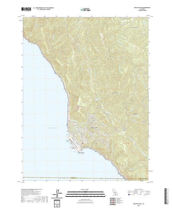 2021 Shelter Cove2021 Print · USGSThe Humboldt County coastline comes into sharp focus in the early 2020s, centering on the remote settlement at Shelter Cove. Researchers can trace local development around Point Delgada and the Shelter Cove Airport or explore the wilderness route of the Lost Coast Trl.
 - 2021 Map of Shubrick Peak, 2021 Print
 2021 Shubrick Peak2021 Print · USGSThe King Range wilderness of Humboldt County is mapped here in the early twenty-first century. Hikers and researchers can trace the coastal Lost Coast Trl past landmarks like Black Rock and the high elevations of Shubrick Peak.
 - 2021 Map of Rodgers Peak, 2021 Print
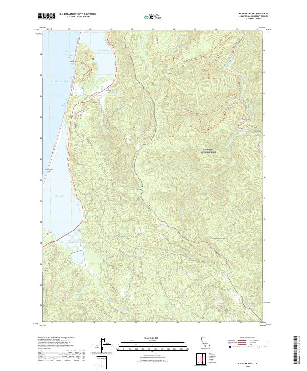 2021 Rodgers Peak2021 Print · USGSThe Humboldt County coast is captured here in the early twenty-first century, where the sea meets the ancient forests. You can trace the delicate Big Lagoon Spit or follow timber and hiking routes like Hammond Truck Rd and Tall Trees Trl into Redwood National Park.
 - 2021 Map of Cooskie Creek, 2021 Print
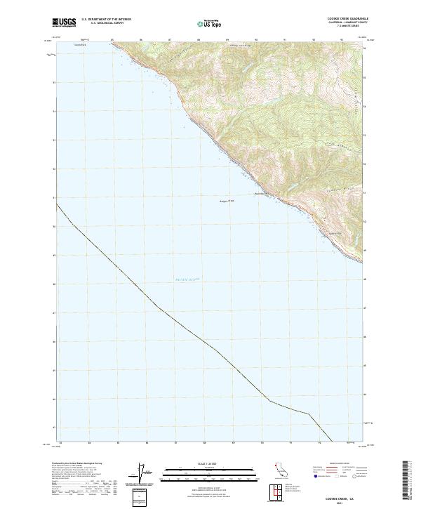 2021 Cooskie Creek2021 Print · USGSThe Humboldt County coastline is shown here in the early twenty-first century along a stretch of roadless wilderness. Hikers and historians can trace the remote Lost Coast Trl as it passes landmarks like Sea Lion Gulch and the level bench of Spanish Flat.
 - 2021 Map of Fields Landing, 2021 Print
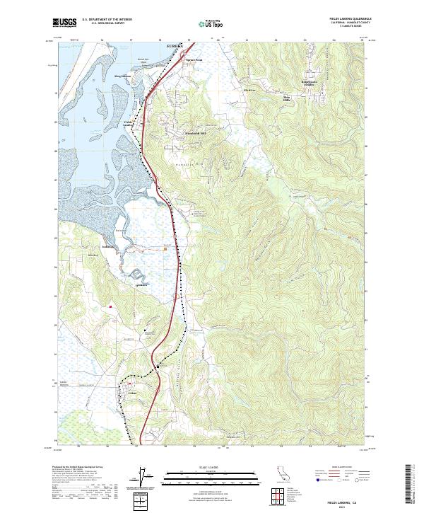 2021 Fields Landing2021 Print · USGSHumboldt Bay and the coastal bluffs south of Eureka are shown here in the twenty-first century. Genealogists can locate Table Bluff Cem and Saint Patrick's Catholic Cem, or trace the Northwestern Pacific RR through Fields Landing.
 - 2021 Map of Arcata South, 2021 Print
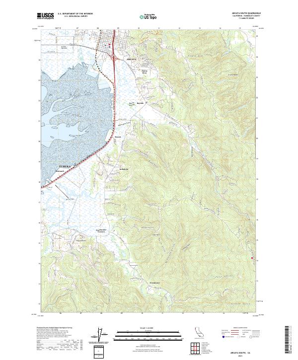 2021 Arcata South2021 Print · USGSCoastal Humboldt County is shown here in the early 2020s, where the tidal marshes of the bay meet the redwood-forested ridges. Trace local history through the sloughs of the Arcata Bottoms and the small communities at Sunny Brae, Bracut, and Freshwater.
 - 2021 Map of McWhinney Creek, 2021 Print
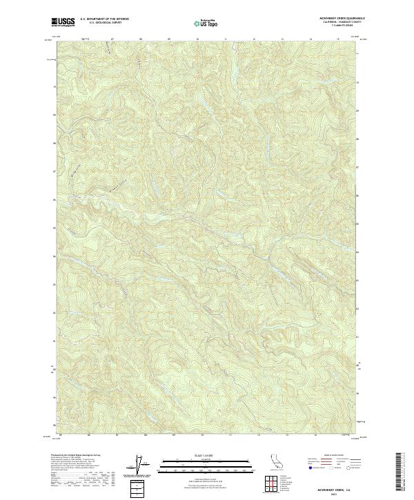 2021 McWhinney Creek2021 Print · USGSCoastal Humboldt County is shown here in the 2020s, dominated by the dense timberlands and watershed networks of the North Coast. Researchers can trace historic access routes like Elk River Rd and Palco Rd through the drainages of Salmon Cr and Freshwater Cr.
 - 2021 Map of Ferndale OE W, 2021 Print
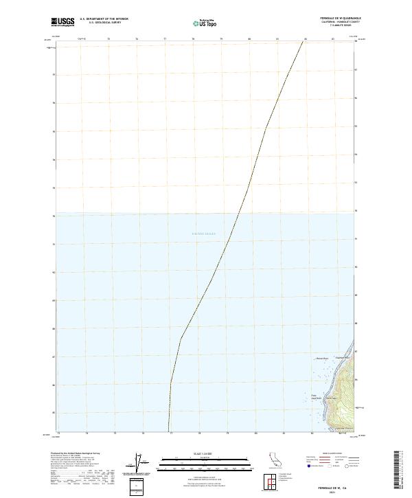 2021 Ferndale OE W2021 Print · USGSThe Humboldt County coastline near Ferndale is captured here in the early 2020s, showing a shoreline of dramatic rocky landmarks and narrow coastal gulches. Researchers can trace the rugged intersection of False Cape and Mussel Rock where Oil Cr meets the sea.
 - 2021 Map of Buckeye Mountain, 2021 Print
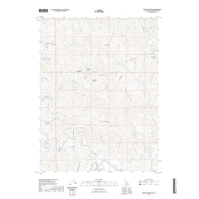 2021 Buckeye Mountain2021 Print · USGSHumboldt County's steep coastal ridges and the winding Mattole River watershed are documented here in the early twenty-first century. Researchers can trace land use through distinctive upland clearings like Homestead Opening or follow family names on landmarks like Cook Ridge and Harris Ridge.
 - 2021 Map of Honeydew, 2021 Print
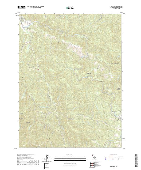 2021 Honeydew2021 Print · USGSHumboldt County's coastal mountains and river valleys are captured here in the early twenty-first century. Researchers can trace land use through historic sites like Duncan Pre-emption and ranching routes such as Etter Ranch Rd or Old Hindley Ranch Rd.
 - 2021 Map of Cape Mendocino, 2021 Print
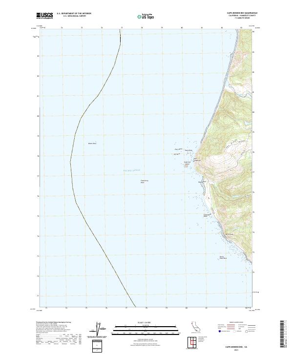 2021 Cape Mendocino2021 Print · USGSThe westernmost edge of the California coast is captured here in the early twenty-first century, showing the intersection of the King Range and the Pacific. Researchers can trace the rugged shoreline from Sugarloaf Island down to Devils Gate and follow the high-elevation path of Mattole Rd.
 - 2021 Map of Trinidad, 2021 Print
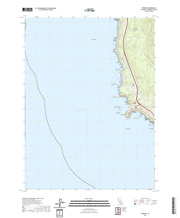 2021 Trinidad2021 Print · USGSThe Humboldt County coast comes alive in this survey of Trinidad, where the rugged Pacific shoreline meets the redwoods. Trace local landmarks like Trinidad Head, the historic Trinidad Cemetery, and coastal features from Patricks Point to Elk Head.
 - 2021 Map of Fortuna, 2021 Print
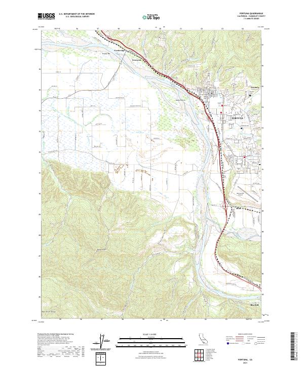 2021 Fortuna2021 Print · USGSCoastal Humboldt County is defined here by the winding Eel River and its fertile floodplain in the early twenty-first century. Researchers can trace the rail corridor of the Northwestern Pacific and locate family history at Sunrise Cemetery or the historic community of Fernbridge.
 - 2021 Map of Bull Creek, 2021 Print
 2021 Bull Creek2021 Print · USGSHumboldt County’s redwood country is surveyed here in the early twenty-first century, showing the intersection of conservation and industry. Researchers can find old family landmarks and early access routes like Bull Creek Cem, Powder Flat, and the Homestead Trl.
 - 2021 Map of Trinidad OE N, 2021 Print
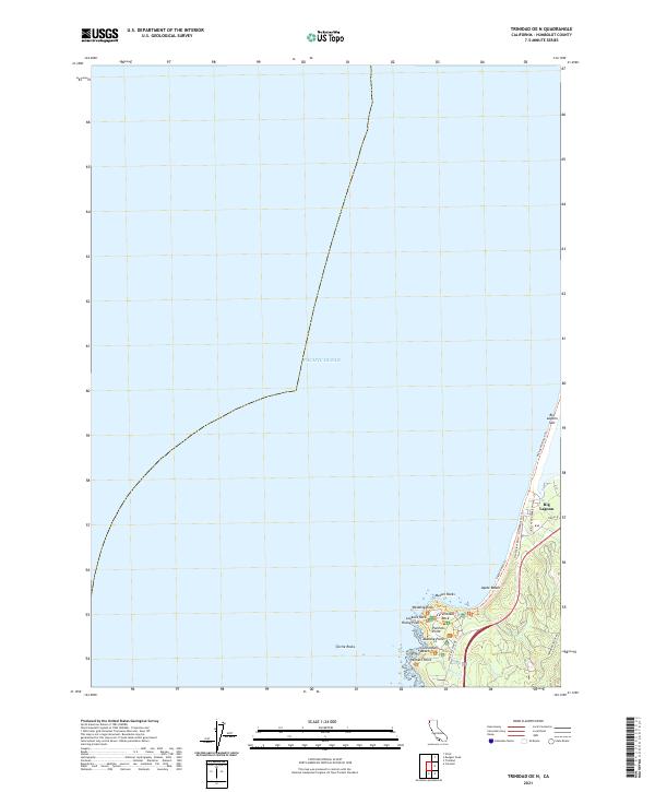 2021 Trinidad OE N2021 Print · USGSThe Humboldt County coastline comes into sharp focus in the early 2020s, showing the intersection of the sea and the shore at Patricks Point. Trace the modern landscape through named landmarks like Ceremonial Rock, Big Lagoon Spit, and Wedding Rock.
 - 2021 Map of Hydesville, 2021 Print
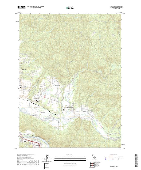 2021 Hydesville2021 Print · USGSHumboldt County’s river valleys and timberlands are documented here in the early twenty-first century as the Eel and Van Duzen Rivers converge. Genealogists and local historians can locate the Hydesville Cem, Blanton Prairie, and the historic Northwestern Pacific RR corridor.
 - 2021 Map of Scotia, 2021 Print
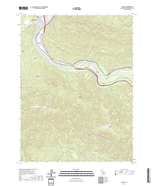 2021 Scotia2021 Print · USGSThe redwood country around the Eel River comes into focus in this recent survey of the historic timber corridor. Researchers can trace the layout of Scotia and Rio Dell or locate high-country landmarks like Mt Pierce and Barkdull Prairie.
 - 2021 Map of Fern Canyon, 2021 Print
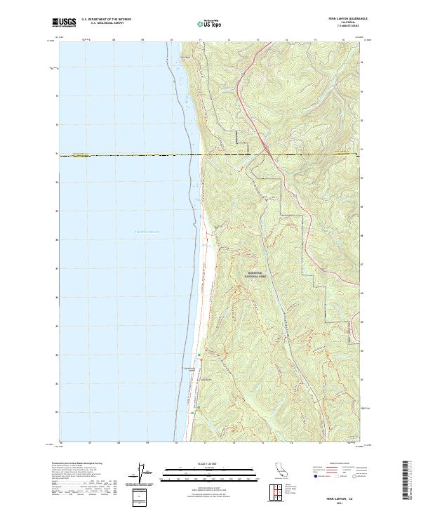 2021 Fern Canyon2021 Print · USGSThe northern California coast is captured here in the early twenty-first century, showing the intersection of the Pacific Ocean and protected old-growth forests. You can trace the rugged geography of Fern Canyon, the sands of Gold Bluffs Beach, and the winding Newton B Drury Scenic Pkwy.
 - 2021 Map of Petrolia, 2021 Print
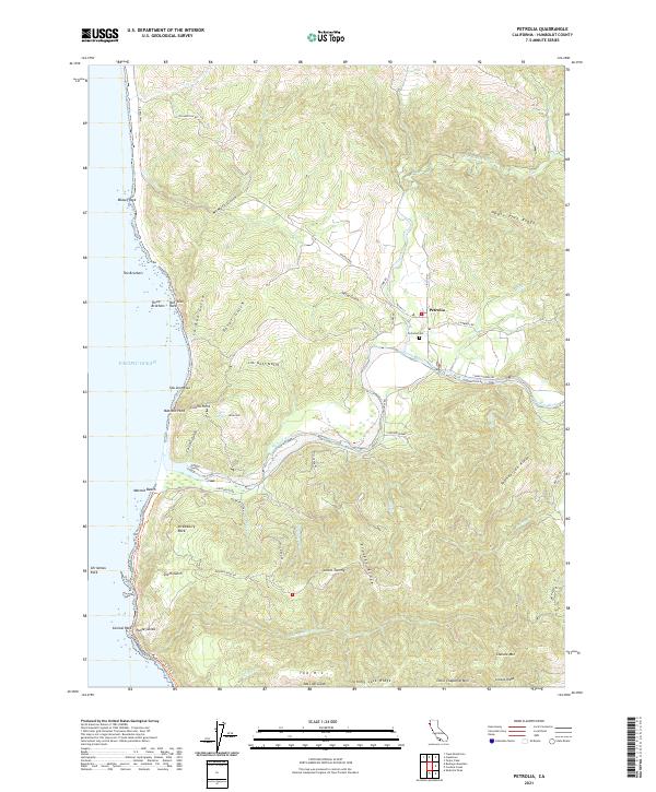 2021 Petrolia2021 Print · USGSThe coastal Mattole River valley comes to life in this contemporary survey of California's remote Humboldt shore. Genealogists and hikers can trace the Lost Coast Trl past landmarks like Punta Gorda or locate family sites near Petrolia Cem and The H J.
 - 2021 Map of Arcata North, 2021 Print
 2021 Arcata North2021 Print · USGSThe Humboldt County coastline comes into focus in the early 2020s, showing the residential and academic growth of the northern coastal plains. Researchers can trace family sites near Greenwood Cem or explore the rural layout of Fieldbrook and Glendale.
 - 2021 Map of Crannell, 2021 Print
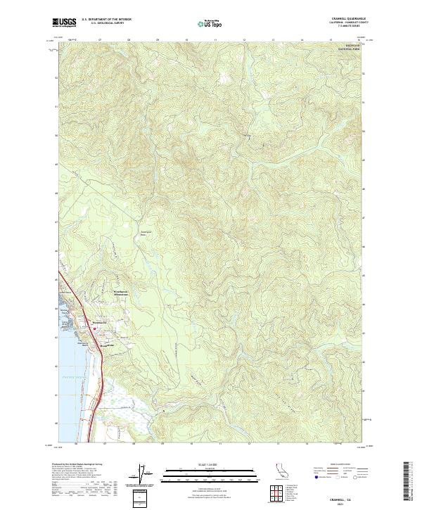 2021 Crannell2021 Print · USGSCoastal Humboldt County meets the redwoods in this modern survey of the shoreline and its rising inland ridges. Genealogists and local historians can trace residential growth in Westhaven-Moonstone or locate historical traces like the Old RR Grade N and Water Gulch.
 - 2021 Map of Orick, 2021 Print
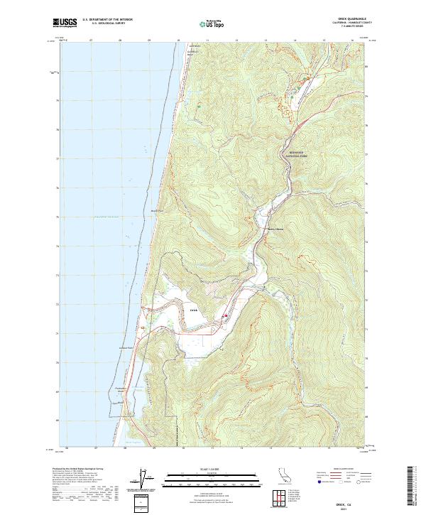 2021 Orick2021 Print · USGSThe Humboldt County coast comes into focus in this contemporary survey, centering on the settlement of Orick near the mouth of Redwood Creek. Researchers can trace the legacy of land conservation through the trails of Redwood National Park and the distinct shoreline features of Gold Bluffs and Freshwater Lagoon.
 - 2021 Map of Taylor Peak, 2021 Print
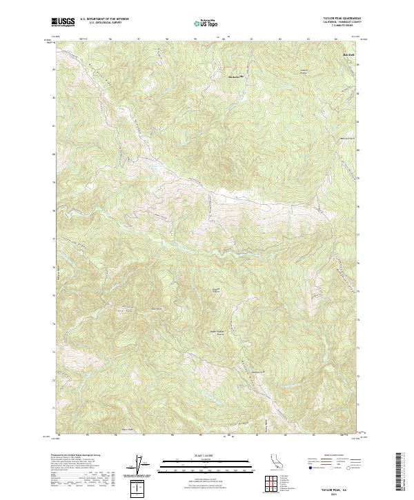 2021 Taylor Peak2021 Print · USGSCoastal Humboldt County in the early 2020s remains a landscape of high ridges and isolated prairies defined by the Bear and Mattole rivers. Researchers can trace land use through names like Hacketsville, Kinman Pond, and the family-named landmarks of Sidehill Prairie.
 - 2021 Map of Capetown, 2021 Print
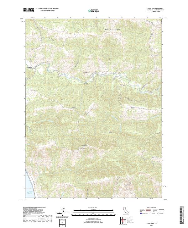 2021 Capetown2021 Print · USGSThe Humboldt County coast is captured here in the early 2020s, showing the intersection of the Bear River and the shoreline. Local researchers can trace family land and ranch roads like Fruit Ranch Rd near landmarks such as Smith Rock and Indian Prairie.
 - 2021 Map of Eureka, 2021 Print
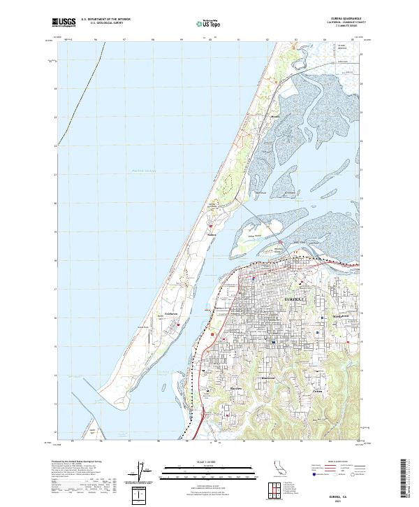 2021 Eureka2021 Print · USGSEureka and the Samoa Peninsula are shown here in the modern era as a hub of maritime navigation and coastal settlement. Genealogists can locate family sites near Myrtle Grove Memorial Cem, while historians trace the layout of Samoa and Fairhaven.
Showing maps 1-25 of 91
Top cities of Humboldt County
- Eureka historical maps
- Arcata historical maps
- McKinleyville historical maps
- Fortuna historical maps
- Fortuna historical maps
- Rio Dell historical maps
See more
Frequently asked questions
- What are the different types of historical maps available for Humboldt County?
- What is the oldest map of Humboldt County?
- Where can I purchase historical maps of Humboldt County for my home or office?
- Where can I download high-res historical maps of Humboldt County?
- Are there historical topographic maps available for Humboldt County?
- Is there historical aerial imagery available for Humboldt County?
- Where are historical maps of Humboldt County sourced from?