2000s (21st Century) Maps of Humboldt County, California
Explore 340 historic maps of Humboldt County from the 2000s (21st Century). These maps offer a rare glimpse into what life looked like during the 2000s — showing old roads, neighborhoods, homes, and landmarks that have changed or disappeared over time.
Whether you're researching your family's past, planning a metal detecting trip, or studying how Humboldt County's landscape evolved across the 2000s, these high-resolution maps are a powerful tool for exploring the history of this region.
- Focus on a specific era: All maps on this page are from the 2000s, giving you a focused view of this time period.
- See what’s changed: Compare century-old streets, trails, and buildings to today's modern landscape using overlays and satellite layers.
- Research with precision: Use these maps for genealogy, historical research, land use analysis, or educational projects.
- View, download, or print: Maps are fully viewable online in high resolution, and can be downloaded or printed for your own records.
Start exploring Humboldt County's history through authentic maps from the 2000s. This is your window into the past.
Humboldt County, CA maps
(340)- 2001 Map of Bark Shanty Gulch, 2004 Print
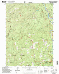 2001 Bark Shanty Gulch2004 Print · USGSSiskiyou County's mountain and river country is documented here at the turn of the millennium, showing the overlap of two national forests and three county lines. Researchers can trace the river corridor via the R. Lyle Davis Bridge to find Young Ranch and remote backcountry sites like Beans Camp.
 - 2001 Map of Somes Bar, 2004 Print
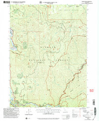 2001 Somes Bar2004 Print · USGSSomes Bar and the Klamath River corridor are documented here just after the millennium, showing a landscape defined by wild water and national forest management. Researchers can trace the layout of the Junction Sch or locate named river features like Ishi Pishi Falls and Three Dollar Bar.
 - 2001 Map of Orleans Mountain, 2004 Print
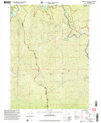 2001 Orleans Mountain2004 Print · USGSThe Siskiyou mountain wilderness of the early 2000s is revealed here at the confluence of the Klamath River and Salmon River. Researchers can trace the heritage of the Klamath National Forest through the Orleans Mtn Lookout and mining sites like the Indian Bottom Mine.
 - 2012 Map of Blocksburg, 2012 Print
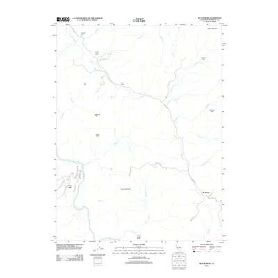 2012 Blocksburg2012 Print · USGSHumboldt County’s river valleys and ranching highlands are documented here during the early twenty-first century. Researchers can locate family landmarks like Windbigler Ranch and Perry Ranch or trace the Eel River near Oak Glen.
 - 2012 Map of Korbel, 2012 Print
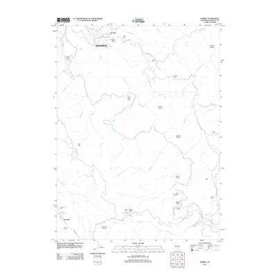 2012 Korbel2012 Print · USGSCoastal Humboldt County ranchlands and timber country come into focus during the early twenty-first century. Researchers can trace historic family holdings and landmarks like Angel Ranch, the Indian Arrow Tree, and the rural settlement of Kneeland.
 - 2012 Map of Owl Creek, 2012 Print
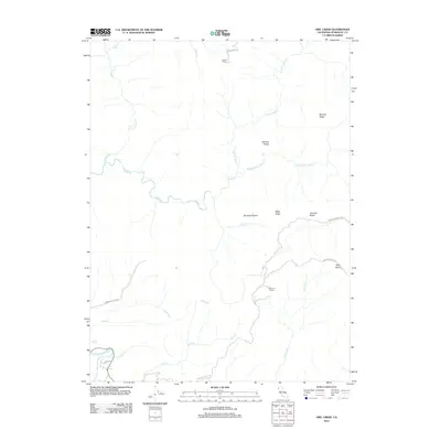 2012 Owl Creek2012 Print · USGSHumboldt County’s interior ridges and remote ranchlands are documented here in the early twenty-first century. Researchers can trace land use and local family history through landmarks like Shaws Ranch, Redwood House, and the high clearings of McCord Prairie.
 - 2012 Map of Hupa Mountain, 2012 Print
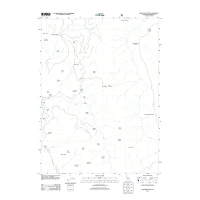 2012 Hupa Mountain2012 Print · USGSHumboldt County’s high country is captured here in the early twenty-first century, showing a landscape defined by isolated ranchlands and traditional grazing prairies. Researchers can trace land use through distinctive features like Stover Ranch, Potato Patch, and Redeye Prairie.
 - 2012 Map of Fern Canyon, 2012 Print
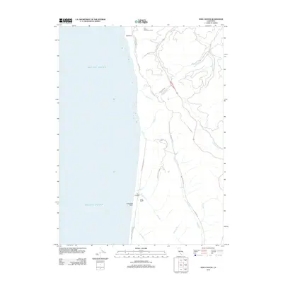 2012 Fern Canyon2012 Print · USGSThe Humboldt County coast comes into sharp focus during the early twenty-first century, showing the intersection of conservation lands and rugged shoreline. Trace the winding paths of Redwood Hwy and Coastal Loop Rd past Fern Canyon and Gold Bluffs.
 - 2012 Map of Fort Seward, 2012 Print
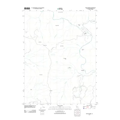 2012 Fort Seward2012 Print · USGSHumboldt County’s river-carved landscape is documented here in the early twenty-first century, centered on the Eel River corridor. Genealogists and researchers can trace local holdings like Hurlbutt Ranch or locate the communities of Fort Seward and Steelhead.
 - 2012 Map of Miranda, 2012 Print
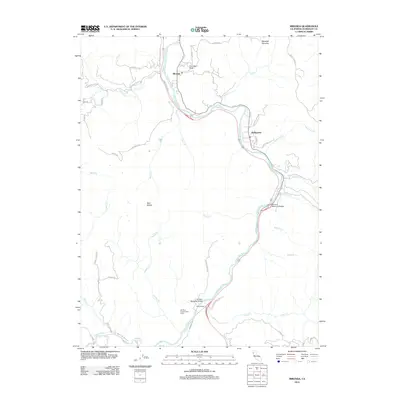 2012 Miranda2012 Print · USGSThe South Fork Eel River corridor near Miranda is captured here during the early twenty-first century as it winds through Humboldt County. Researchers can trace the local road network and river crossings like Barnum Memorial Bridge, Phillipsville, and the Eel River Conservation Camp.
 - 2012 Map of French Camp Ridge, 2012 Print
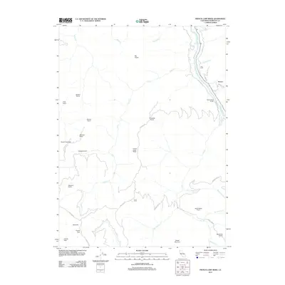 2012 French Camp Ridge2012 Print · USGSThis part of Humboldt County in the early twenty-first century remains defined by high mountain prairies and the deep gorge of the Klamath River. Researchers can trace the layout of remote settlements and landmarks like French Camp, Waseck, and the Martins Ferry Bridge.
 - 2012 Map of Weott, 2012 Print
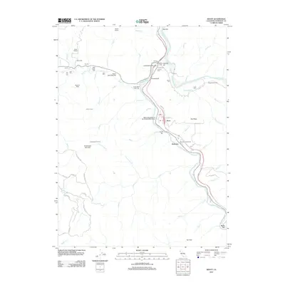 2012 Weott2012 Print · USGSHumboldt County’s redwood corridor is captured here in the early 21st century, showing the small river settlements and protected groves along the S Fork Eel River. Researchers can trace old family-named landmarks and camps like Johnson Camp, the Blythe Plaque, and Myers Flat.
 - 2012 Map of Jewett Rock, 2012 Print
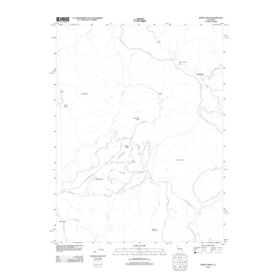 2012 Jewett Rock2012 Print · USGSThe Eel River canyon and its rugged tributary ridges come into focus during this early 21st-century survey of Trinity County. Genealogists and historians can trace family landholdings at White Ranch and Marr Ranch or locate the remote settlement of Kekawaka.
 - 2012 Map of Harris, 2012 Print
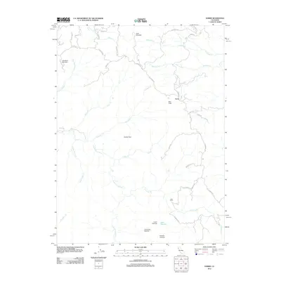 2012 Harris2012 Print · USGSHumboldt County’s high country is documented here in the early twenty-first century, centered on the settlement of Harris. Genealogists and local historians can trace family-named landmarks like Miller Ranch, Lewis Opening, and Peterson Opening.
 - 2012 Map of Briceland, 2012 Print
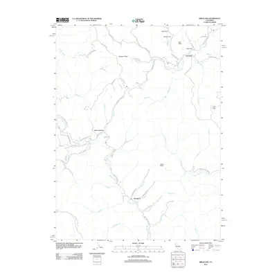 2012 Briceland2012 Print · USGSHumboldt County’s rural interior is documented here in the early 2000s, centered on the Mattole River corridor. Researchers can locate the small settlements of Whitethorn and Briceland while tracing old routes like Old Briceland Rd and Ettersburg Rd.
 - 2012 Map of Larabee Valley, 2012 Print
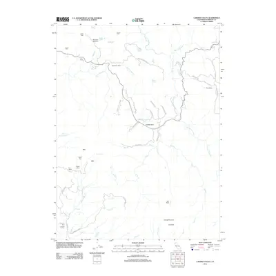 2012 Larabee Valley2012 Print · USGSHumboldt County ranching and rugged river terrain are captured in this recent survey of the North Coast range. Genealogists and local historians can locate family landmarks such as Gunlock Ranch, Snowline Fox Farm, and the Indian Cabin.
 - 2012 Map of Yager Junction, 2012 Print
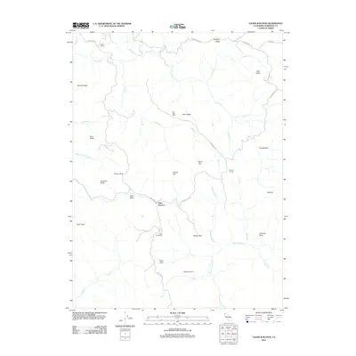 2012 Yager Junction2012 Print · USGSHumboldt County ranching life is documented here in the early twenty-first century as the landscape remains dominated by large holdings and steep ridges. Genealogists and local historians can trace family land at Iaqua Ranch, Fort Baker Ranch, and the Van Duzen River corridor.
 - 2012 Map of Crannell, 2012 Print
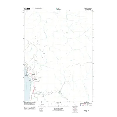 2012 Crannell2012 Print · USGSCoastal Humboldt County at the turn of the decade reveals a landscape where ranching and timber history meet the Pacific. Researchers can trace the legacy of industry and family landholdings through Old Railroad Grade Rd, Peters Ranch, and Crannell.
 - 2012 Map of Redcrest, 2012 Print
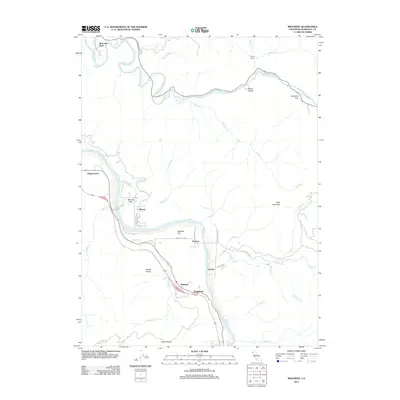 2012 Redcrest2012 Print · USGSIn the river valleys of Humboldt County during the early 2000s, small communities like Redcrest and Holmes remained tucked between steep ridges and winding waterways. Genealogists and local historians can trace family-named sites such as Shively Flat, Chadd Prairie, and Camp Bemis.
 - 2012 Map of Myers Flat, 2012 Print
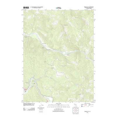 2012 Myers Flat2012 Print · USGSHumboldt County’s river valleys and high ridges are captured here in the early twenty-first century. Genealogists and hikers can trace the paths between Myers Flat and McCann, or locate landmarks like Eagle Point and Hidden Springs Campground along the river.
 - 2012 Map of Blue Lake, 2012 Print
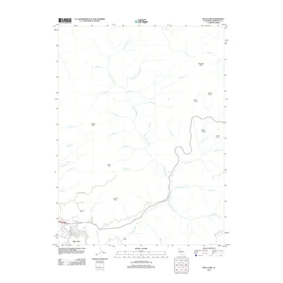 2012 Blue Lake2012 Print · USGSCoastal Humboldt County is seen here in the early twenty-first century as the settlement of Blue Lake meets the rising timberlands. Trace the local landscape from Crawford Ranch and Camp Bauer up to the high clearings of Miller Prairie and Wiregrass Ridge.
 - 2012 Map of Panther Creek, 2012 Print
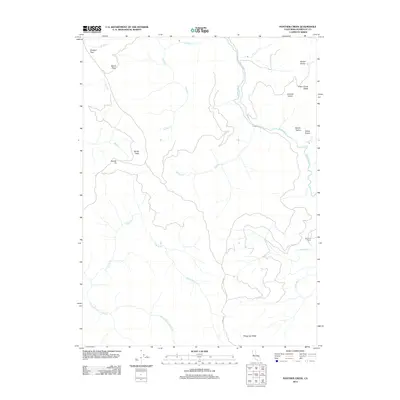 2012 Panther Creek2012 Print · USGSHumboldt County’s high prairies and deep drainages are documented here in the early twenty-first century. Researchers can trace land use at the Ray Hurd Ranch or locate named upland clearings like Johnson Prairie and Barber Prairie.
 - 2012 Map of Iaqua Buttes, 2012 Print
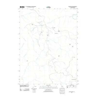 2012 Iaqua Buttes2012 Print · USGSHumboldt County’s mountain ridges and river canyons are detailed here in the early twenty-first century. Researchers can trace the winding paths of Kneeland Rd to landmarks like the Kneeland Airport, Lone Star Junction, and Iaqua Buttes.
 - 2012 Map of Dinsmore, 2012 Print
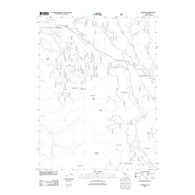 2012 Dinsmore2012 Print · USGSTrinity County's rugged drainage basins are documented here in the early twenty-first century as the Van Duzen River winds past remote outposts. Researchers can trace land features from Cobb Ranch and Low Gap to the high-elevation views at Tierney Peak and Woodmans Butte.
 - 2012 Map of Denny, 2012 Print
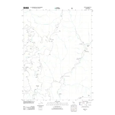 2012 Denny2012 Print · USGSThe Trinity County wilderness is documented here just after the turn of the twenty-first century, showing the remote canyon lands and high ridges. Trace the routes between Denny, Hoboken, and the mountain camps at Onion Camp and Happy Camp Campground.
Showing maps 1-25 of 340
Top cities of Humboldt County
- Eureka historical maps
- Arcata historical maps
- McKinleyville historical maps
- Fortuna historical maps
- Fortuna historical maps
- Rio Dell historical maps
See more
Frequently asked questions
- What are the different types of historical maps available for Humboldt County?
- What is the oldest map of Humboldt County?
- Where can I purchase historical maps of Humboldt County for my home or office?
- Where can I download high-res historical maps of Humboldt County?
- Are there historical topographic maps available for Humboldt County?
- Is there historical aerial imagery available for Humboldt County?
- Where are historical maps of Humboldt County sourced from?