2000s (21st Century) Maps of Napa County, California
Explore 104 historic maps of Napa County from the 2000s (21st Century). These maps offer a rare glimpse into what life looked like during the 2000s — showing old roads, neighborhoods, homes, and landmarks that have changed or disappeared over time.
Whether you're researching your family's past, planning a metal detecting trip, or studying how Napa County's landscape evolved across the 2000s, these high-resolution maps are a powerful tool for exploring the history of this region.
- Focus on a specific era: All maps on this page are from the 2000s, giving you a focused view of this time period.
- See what’s changed: Compare century-old streets, trails, and buildings to today's modern landscape using overlays and satellite layers.
- Research with precision: Use these maps for genealogy, historical research, land use analysis, or educational projects.
- View, download, or print: Maps are fully viewable online in high resolution, and can be downloaded or printed for your own records.
Start exploring Napa County's history through authentic maps from the 2000s. This is your window into the past.
Napa County, CA maps
(104)- 2012 Map of Sears Point, 2012 Print
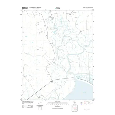 2012 Sears Point2012 Print · USGSThe Sonoma marshlands and vineyard country meet in this 2012 study of the North Bay shoreline. Researchers can trace the legacy of regional viticulture at Gloria Ferrer Winery and locate historic rail-stop settlements like Schellville and Wingo.
 - 2012 Map of Mount George, 2012 Print
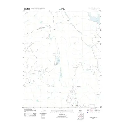 2012 Mount George2012 Print · USGSGreen Valley and the surrounding Solano County foothills are shown in detail during the early 2010s. Researchers can trace historic water routes and landmarks like Lake Madigan, Green Valley Falls, and the prominent Twin Sisters peaks.
 - 2012 Map of Cuttings Wharf, 2012 Print
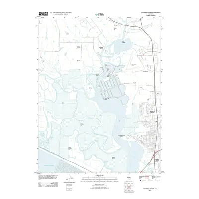 2012 Cuttings Wharf2012 Print · USGSThe Napa River delta and the growing community of American Canyon come into sharp focus in the early 2010s. Trace the reach of the tide through China Slough and Steamboat Slough or locate regional landmarks like Cuttings Wharf and the Napa County Airport.
 - 2012 Map of Mount Saint Helena, 2012 Print
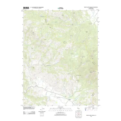 2012 Mount Saint Helena2012 Print · USGSThe base of the Mayacmas Mountains comes into focus in this recent survey of the Kellogg area. Local historians can trace family roots at Evergreen Cem or locate historical landmarks like Locke Cabin and Schoolhouse Point.
 - 2012 Map of Capell Valley, 2012 Print
 2012 Capell Valley2012 Print · USGSThe foothills and canyons of eastern Napa County are captured here in the early twenty-first century. Researchers can trace land holdings and water rights at Munson Ranch or the small aviation history of Moskowite Airport near Capell Valley.
 - 2012 Map of Calistoga, 2012 Print
 2012 Calistoga2012 Print · USGSUpper Napa Valley's renowned viticultural landscape is presented here in the early twenty-first century, centered on the historic town of Calistoga. Researchers can trace the heritage of local estates and landmarks like Bale Mill, Old Pioneer Cem, and the Old Faithful Geyser of California.
 - 2012 Map of Knoxville, 2012 Print
 2012 Knoxville2012 Print · USGSKnoxville and the surrounding northern California uplands are documented here in the early twenty-first century. Researchers can trace the drainages of Zim Zim Cr and Eticuera Cr or locate landmarks like Mysterious Valley Airport and Buck Mountain.
 - 2012 Map of Guinda, 2012 Print
 2012 Guinda2012 Print · USGSThe Capay Valley area of Yolo County is shown in detail during the early twenty-first century, centered on the historic community of Guinda. Researchers can trace the rural landscape from Tancred up to Black Mountain, locating numerous named water sources like Patterson Spring and Indian Mike Spring.
 - 2012 Map of Kenwood, 2012 Print
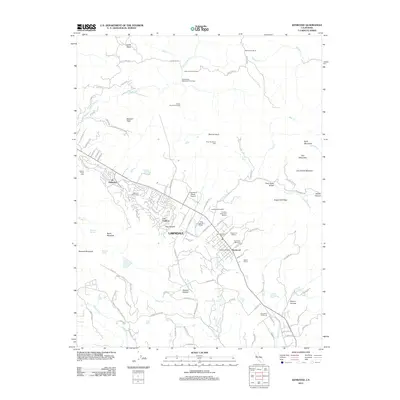 2012 Kenwood2012 Print · USGSThe Sonoma Valley viticultural corridor comes into focus here during the early twenty-first century. Researchers can trace the layout of the Kenwood and Lawndale settlements or locate established estates such as Kunde Winery and Saint Francis Winery.
 - 2012 Map of Walter Springs, 2012 Print
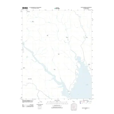 2012 Walter Springs2012 Print · USGSNapa County's northern lake country comes into focus in this modern survey of the Lake Berryessa headwaters. Researchers can trace the rugged drainages of Putah Cr and Pope Cr, or locate landmarks like Walter Springs and the Mysterious Valley Airport.
 - 2012 Map of Monticello Dam, 2012 Print
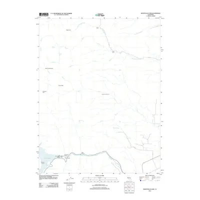 2012 Monticello Dam2012 Print · USGSThe Vaca Mountains and the eastern reach of the Berryessa Valley are shown here in the early twenty-first century as the landscape transitions from reservoir to ranchland. Researchers can trace the rugged geography of Devils Gate and locate established family sites like Scott Ranch and Chapmans Upper Ranch.
 - 2012 Map of Fairfield North, 2012 Print
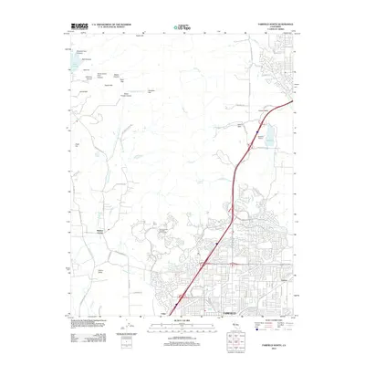 2012 Fairfield North2012 Print · USGSNorthern Solano County comes into focus in this modern era, where the expanding suburbs of Fairfield meet the Vaca Mountain foothills. Researchers can trace local development around Mankas Corner, the Vacaville Airport, and the historic Tolenas settlement.
 - 2012 Map of Aetna Springs, 2012 Print
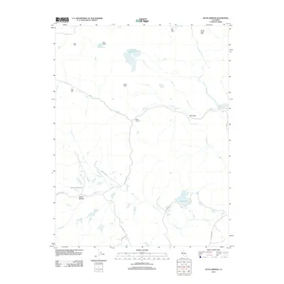 2012 Aetna Springs2012 Print · USGSNapa County at the turn of the decade reveals a landscape where canyon roads and high peaks define the local community. Researchers can trace rural developments like Aetna Springs, the historic Aetna Springs Golf Course, and Weeks Lake.
 - 2012 Map of Detert Reservoir, 2012 Print
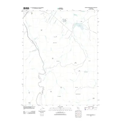 2012 Detert Reservoir2012 Print · USGSLake County agriculture and high-altitude terrain converge in the early twenty-first century near the headwaters of the Napa River. Genealogists and historians can trace the path of the Old Lawley Toll Rd and locate landmarks like Guenoc Winery and Dead Horse Flat.
 - 2012 Map of Lake Berryessa, 2012 Print
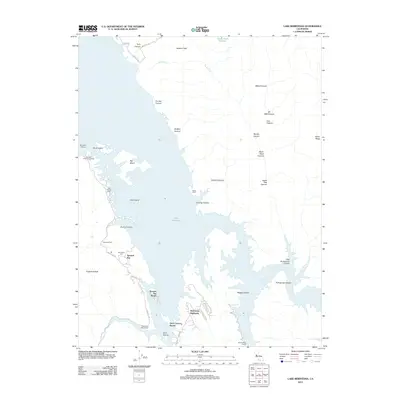 2012 Lake Berryessa2012 Print · USGSLake Berryessa's sprawling shoreline is captured here a decade into the new millennium, showcasing a landscape of recreation and relocated history. Genealogists and locals can trace the Monticello Cem and settlements like Spanish Flat and Berryessa Highlands.
 - 2012 Map of Mark West Springs, 2012 Print
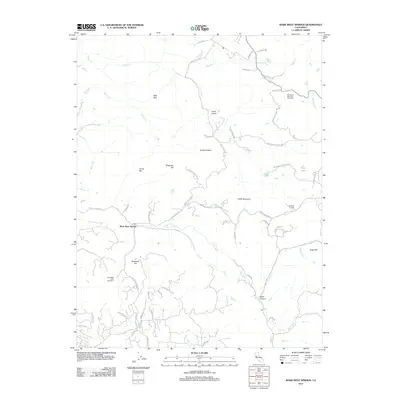 2012 Mark West Springs2012 Print · USGSThe Sonoma County highlands come into focus in 2012, showing the rugged topography between Santa Rosa and Calistoga. Genealogists and local historians can trace modern property access along Franz Valley Rd and locate landmarks like the Petrified Forest and Mark West Springs.
 - 2012 Map of Cordelia, 2012 Print
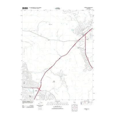 2012 Cordelia2012 Print · USGSThe northern edge of Vallejo and the Cordelia foothills are captured here in the early 2010s as suburban growth meets the coast range. Trace the development of Chabot Terrace, the transit hub at Cordelia Junction, and the landmarks of Sulphur Springs Mountain.
 - 2012 Map of Chiles Valley, 2012 Print
 2012 Chiles Valley2012 Print · USGSNapa County's agricultural and wilderness character is on full display in the early 2010s, showing the intersection of historic landmarks and natural terrain. Researchers can find old industrial sites and modern estates such as Chiles Grist Mill, Nichelini Winery, and Rancho Monticello.
 - 2012 Map of Jericho Valley, 2012 Print
 2012 Jericho Valley2012 Print · USGSYolo County's interior ranchlands and high ridges are shown here in the early 2000s. Researchers can trace the rugged geography of the Watson Range and locate rural holdings like Hennesey Ranch and Ink Ranch near Jerusalem Grade.
 - 2012 Map of Brooks, 2012 Print
 2012 Brooks2012 Print · USGSBrooks and Cadenasso sit at the edge of the Capay Valley during the early twenty-first century as ranch lands give way to the Blue Ridge mountains. Genealogists and hikers can trace family sites like Harris Ranch, the waters of Medical Spring, and the ascent to Berryessa Peak.
 - 2012 Map of Sonoma, 2012 Print
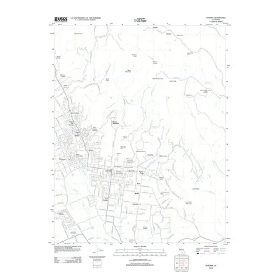 2012 Sonoma2012 Print · USGSThe Sonoma Valley at the start of the 2010s reveals a landscape where historic viticulture meets growing residential communities. Genealogists and researchers can trace the region's heritage through Mountain Cem, Castagnasso Farm, and the Mission San Francisco Solano Vineyard.
 - 2012 Map of Mount Vaca, 2012 Print
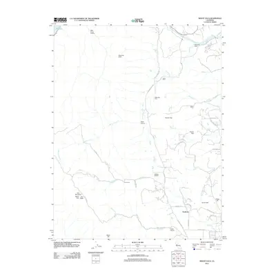 2012 Mount Vaca2012 Print · USGSThe Vaca Mountains and the English Hills frame this rural California landscape in the early twenty-first century. Researchers can locate long-standing landmarks like the Rhine School, the ranching grounds of Pleasants Valley, and the settlement of Bucktown.
 - 2012 Map of Napa, 2012 Print
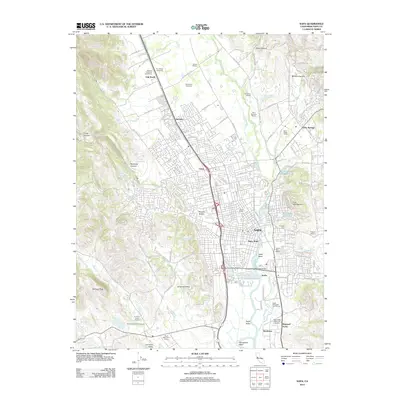 2012 Napa2012 Print · USGSNapa and its surrounding wine country are shown in extensive detail during the early 2000s. Researchers can trace the development of historic vineyard estates like Eshcol Winery and locate landmarks such as the Juarez Old Adobe and Tulocay Cem.
 - 2012 Map of Yountville, 2012 Print
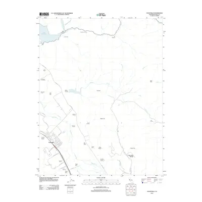 2012 Yountville2012 Print · USGSThe Napa Valley at the beginning of the twenty-first century reveals a landscape dominated by its world-renowned viticulture. Researchers can trace historic winery boundaries like Domaine Chandon Winery or locate landmarks such as Napa Soda Springs and the Chimney Rock Golf Course.
 - 2012 Map of Saint Helena, 2012 Print
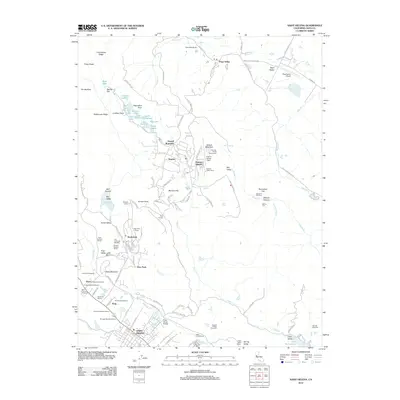 2012 Saint Helena2012 Print · USGSNapa Valley's vineyard culture and upland settlements are showcased in this 2012 record. Genealogists and historians can trace family-named estates and landmarks like the Charles Krug Winery, Morris Cem, and the Pope Street Bridge.
Showing maps 1-25 of 104
Top cities of Napa County
- Napa historical maps
- American Canyon historical maps
- Calistoga historical maps
- Yountville historical maps
Frequently asked questions
- What are the different types of historical maps available for Napa County?
- What is the oldest map of Napa County?
- Where can I purchase historical maps of Napa County for my home or office?
- Where can I download high-res historical maps of Napa County?
- Are there historical topographic maps available for Napa County?
- Is there historical aerial imagery available for Napa County?
- Where are historical maps of Napa County sourced from?